The Karakoram Highway — The Eighth Wonder (Part I)
Babusar, Gilgit & the Buddha
"The state of Hunza is a land of mountains so high that they seem to support the very heavens."
— Lord Curzon, Viceroy of India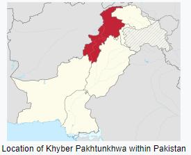
Babusar Pass and the Burning Brakes
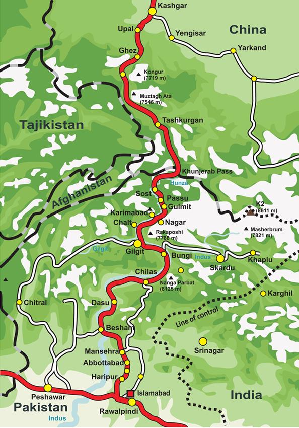
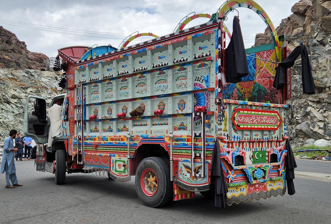
The Karakoram Highway — the KKH, China-Pakistan Friendship Highway, National Highway 35 — runs for 1,300 kilometres from Hasan Abdal in Punjab to the Khunjerab Pass on the Chinese border. It is the highest paved international road in the world, built jointly by the governments of Pakistan and China between 1958 and 1978, at a cost of approximately 810 Pakistani and 200 Chinese lives, mostly to landslides and falls. The Chinese who died here are buried in a cemetery in Gilgit. The highway is often called the Eighth Wonder of the World.
Before the Kaghan Valley opened out ahead of us, we passed the outskirts of Abbottabad — a hill station founded in the 1850s by the British officer James Abbott, and today home to the Pakistan Military Academy, the country's premier institution for training army officers. Since 2 May 2011, the town has been permanently associated with a fact that has nothing to do with either its colonial founding or its military pedigree: it was in a walled compound here, close to that same officer academy, that Osama bin Laden was found and killed by American special forces after five years in hiding. The irony did not go unremarked at the time — al-Qaeda's founder sheltering, undetected, in the garrison town of a country he had spent decades manipulating and being manipulated by. Driving past Abbottabad's tidy, tree-lined streets, it was hard not to read it as one more episode, stranger than most, in the long history of outside powers using this part of the subcontinent as a stage for games whose rules were never fully explained to the people living on it.
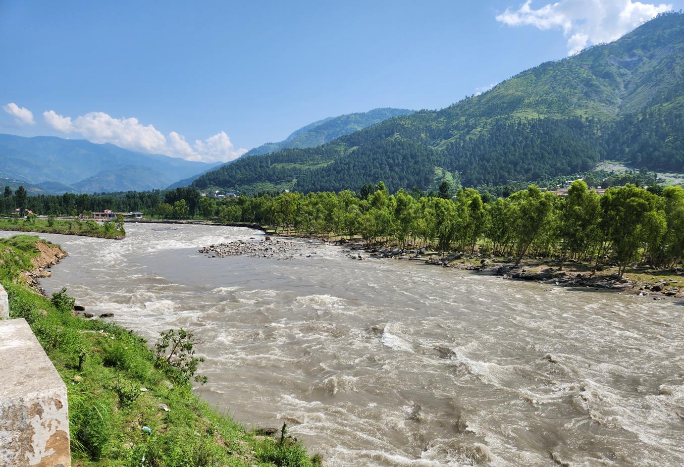
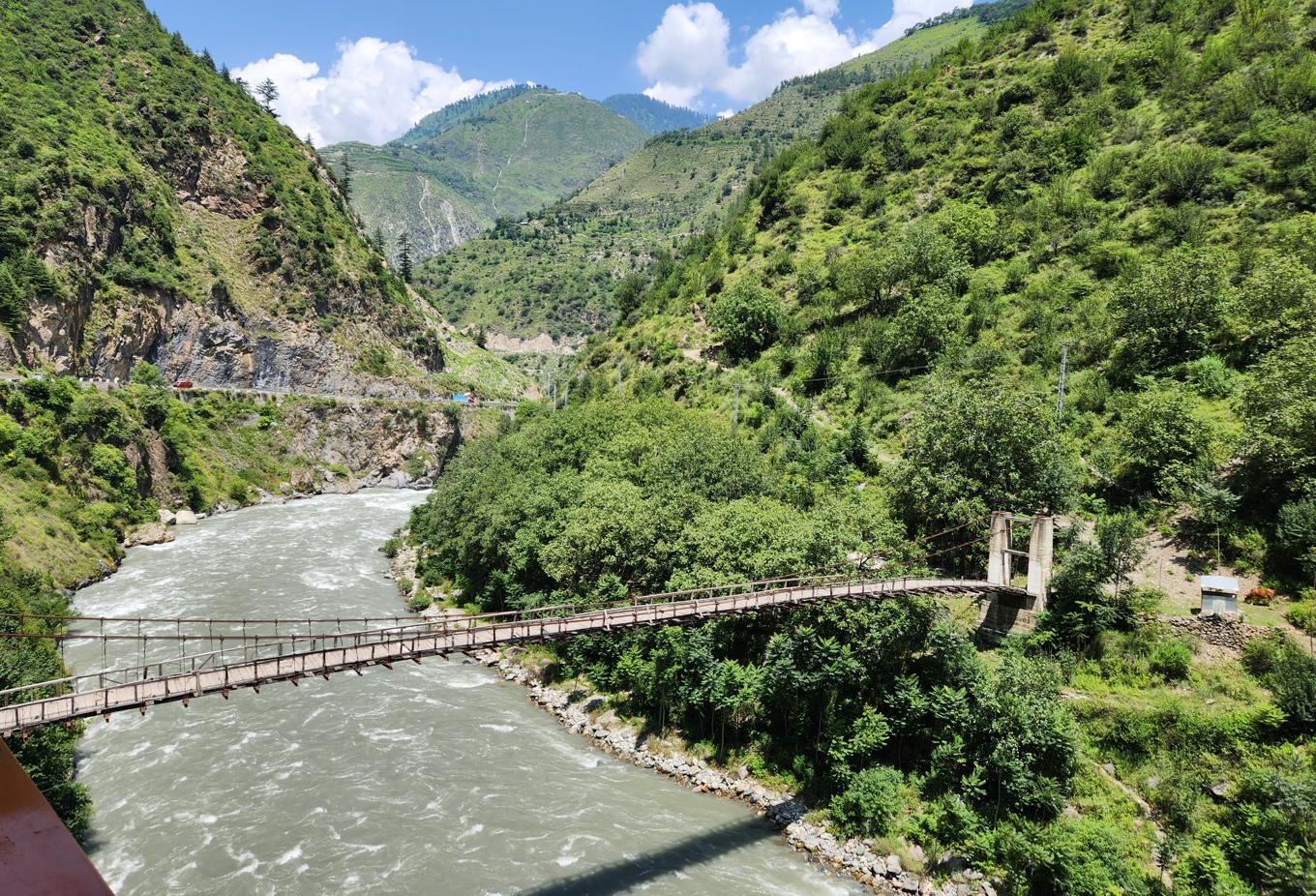
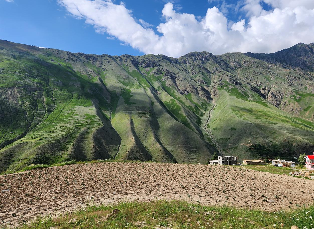
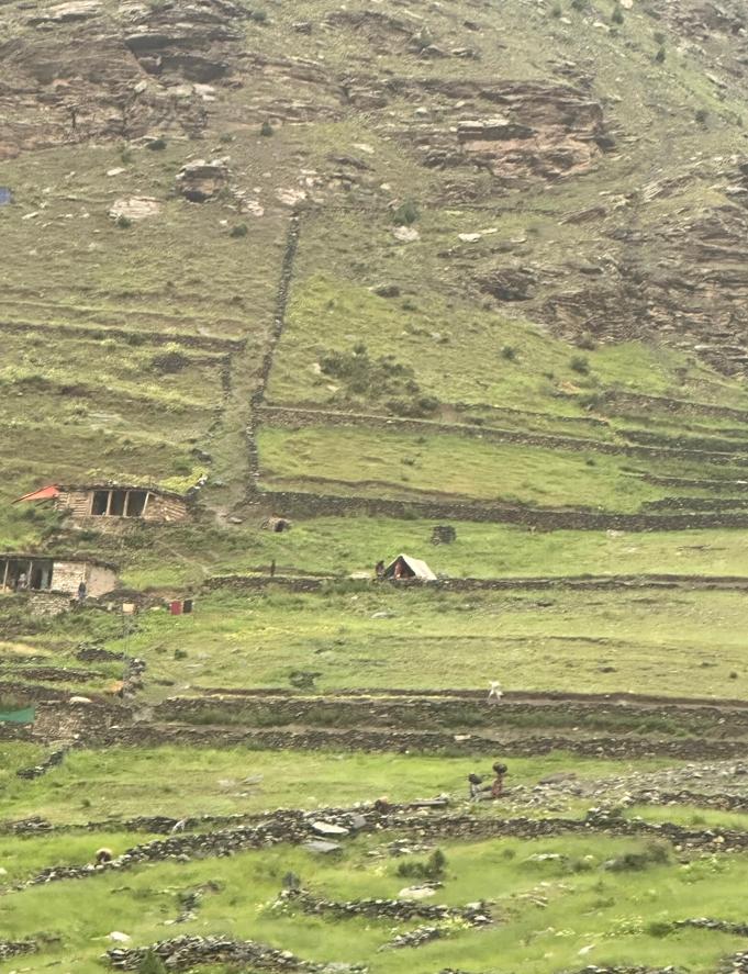
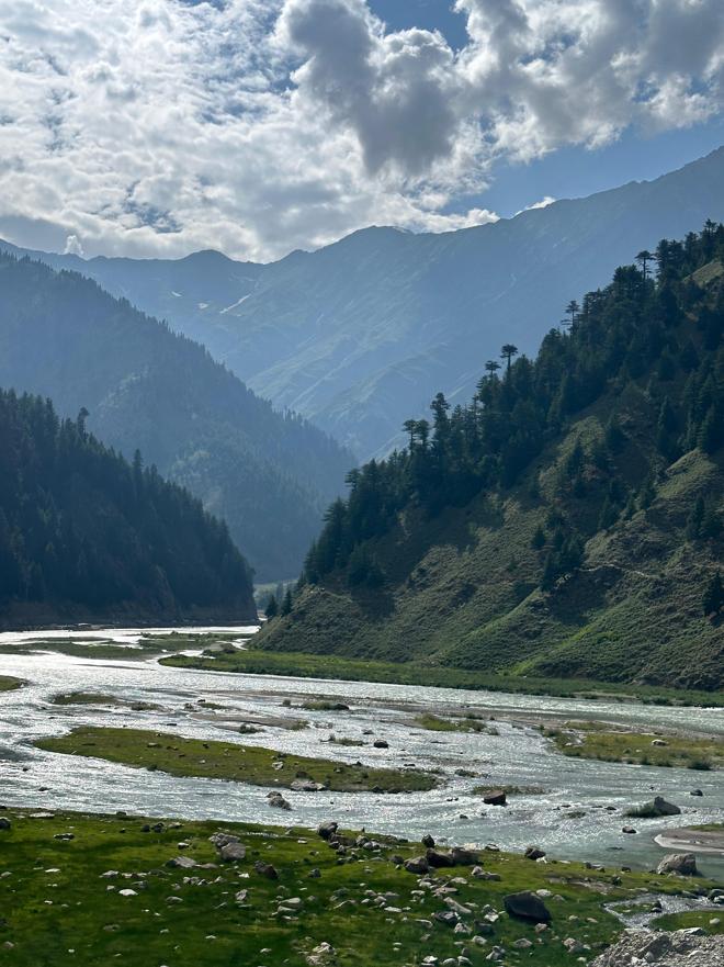
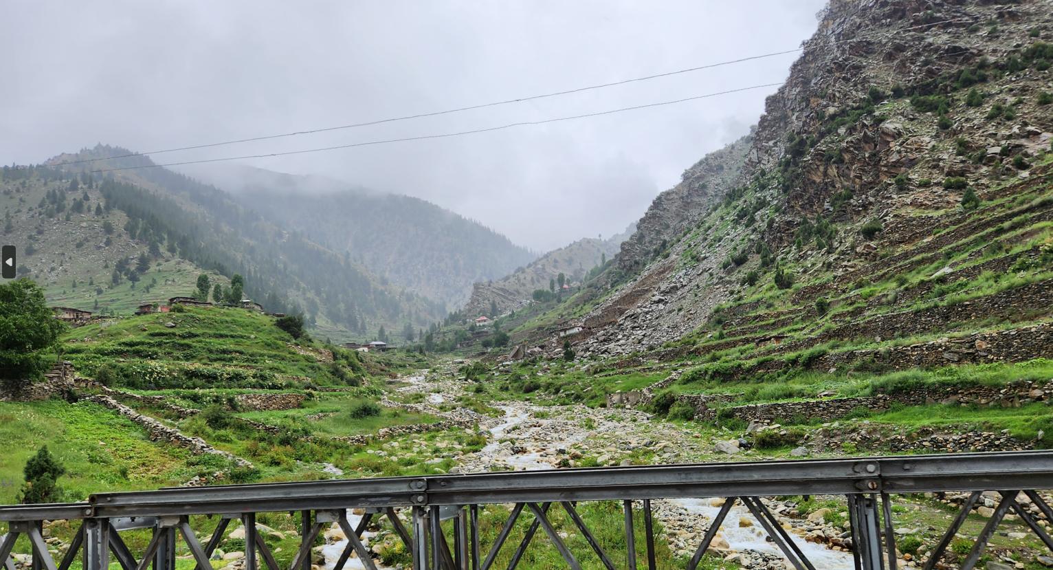
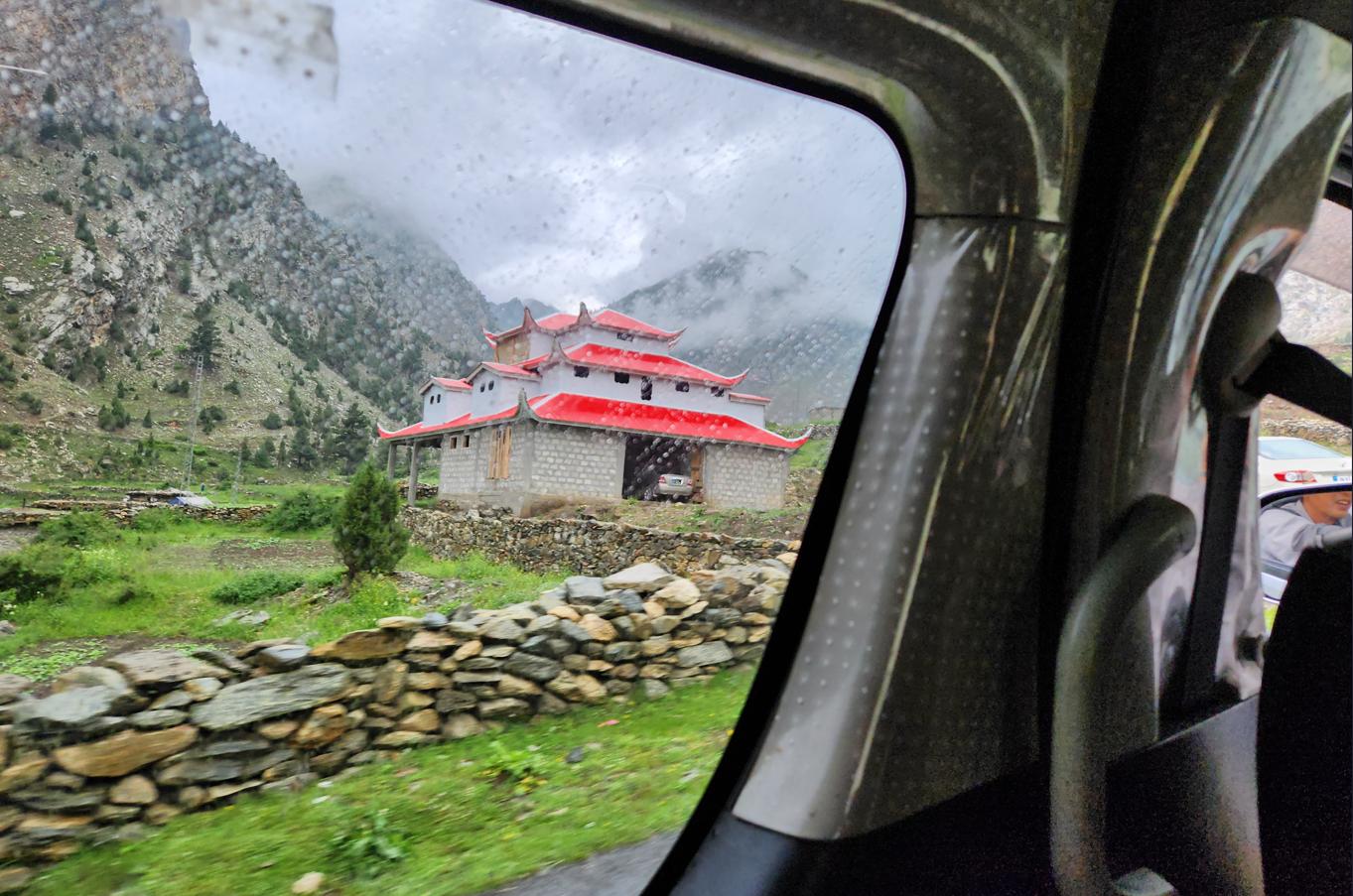
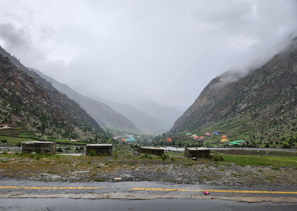
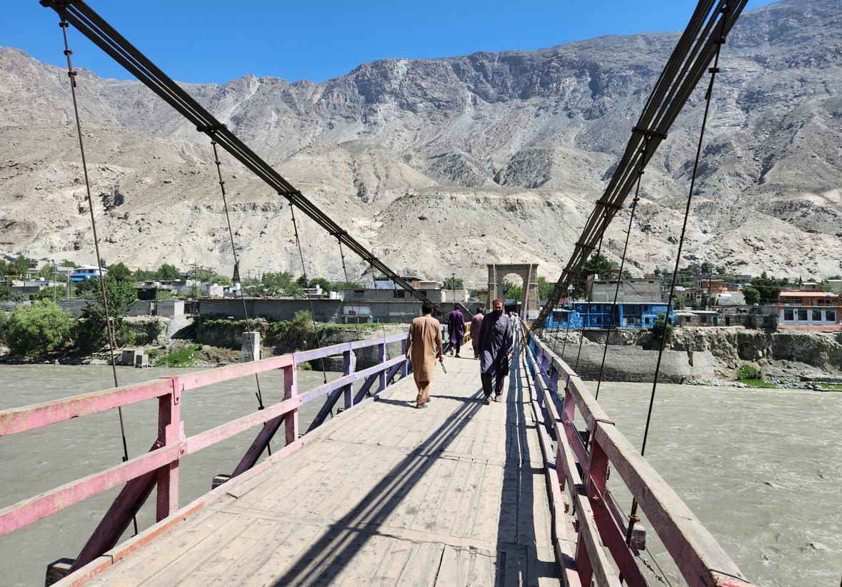
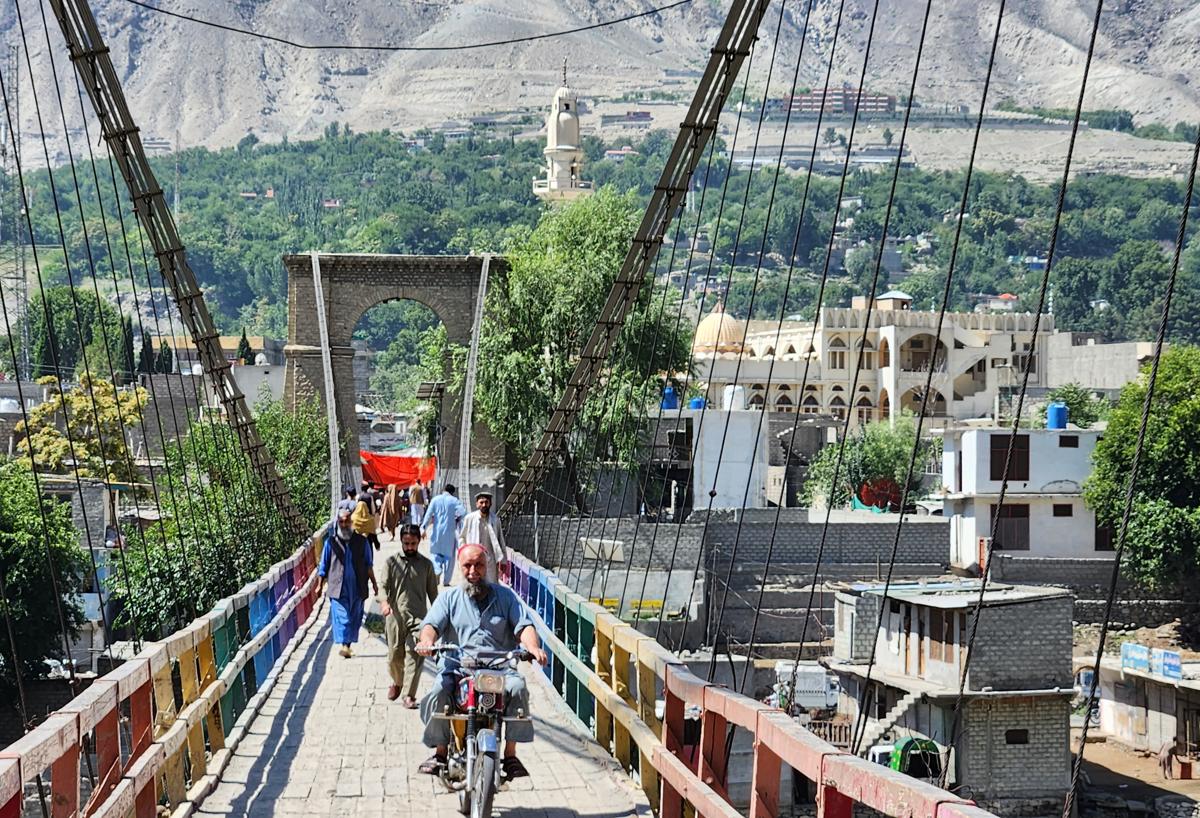
We reached it via the Kaghan Valley: a route that took us north from the Hazara Division through a landscape of increasing drama — pine forests giving way to alpine meadows, the Kunhar River churning white below us, Pakistani middle-class families on school-holiday road trips jamming the single carriageway with their Suzuki Cultuses loaded with children and luggage and enormous quantities of food. Near Mansehra the valley was still gentle: thick stands of pine and cedar running down to a river the colour of jade, crossed here and there by narrow suspension footbridges strung between the banks, where local families and the occasional tourist picked their way across cable and warped plank for the pleasure of standing over the water. Further north, past the resort town of Naran — a single dense strip of hotels, kebab stalls, and jeep-hire touts that exists purely to service the valley's summer trade — the forest thinned into open pasture, and villages like Fazildin-ki-basti appeared clinging to the slopes in narrow green terraces, stone houses stacked one field above the next, wildflowers thick in the meadow grass at the roadside and the mountains behind them rising bare and folded into the middle distance. The Kaghan Valley in July is, it appears, to Pakistan what the Highlands are to the Scots: the place you go when the heat of the plains becomes intolerable and you need to remember that the country contains, somewhere inside it, the possibility of cool air.
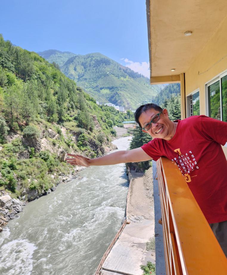
The Chinese were already here: a massive dam and hydroelectric plant under construction in the upper valley, financed under CPEC by the Gezhouba Group, ninety percent complete by June 2023 and scheduled for completion in 2024. The site was immense, its concrete retaining walls rising from the gorge floor, its access roads cutting into the mountainside. Local construction workers in orange helmets moved across the site with the purposeful industry of an ant colony.
The pass is popularly known as Babusar Top, a name locals often trace to the Mughal emperor Babur, said to have crossed it in the early sixteenth century. It is a good story and possibly nothing more: Babur's own memoirs, which record with almost compulsive precision the geography, flora, and fauna of nearly everywhere else he travelled, contain no entry for this particular mountain crossing, and no other contemporary source fills the gap. Pakistan, in my experience, resists giving any place a name without a legend attached to it, verified or otherwise — and Babusar, whatever its actual etymology, has acquired one regardless.
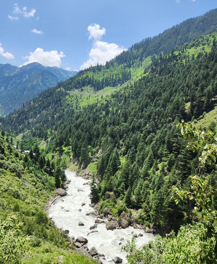
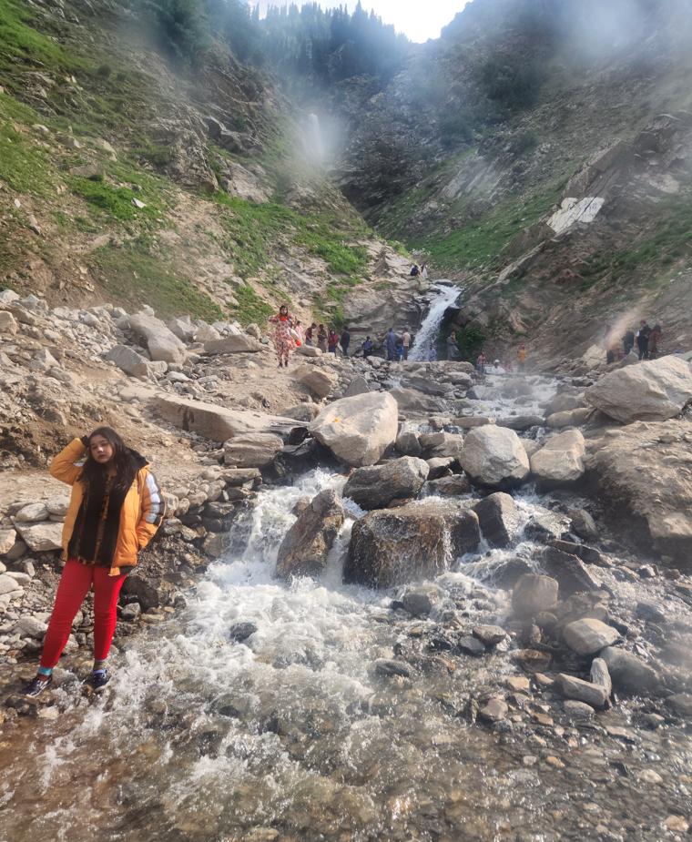

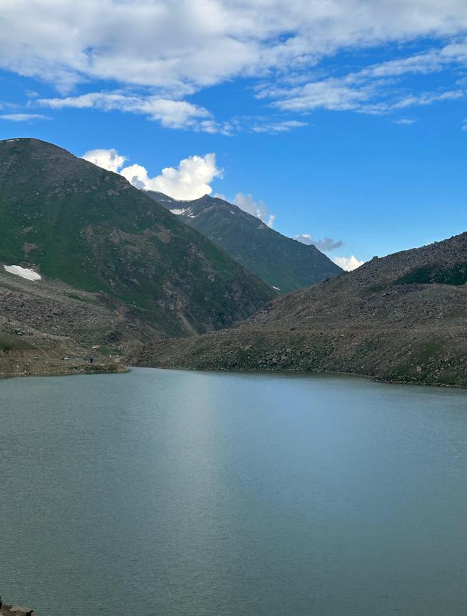
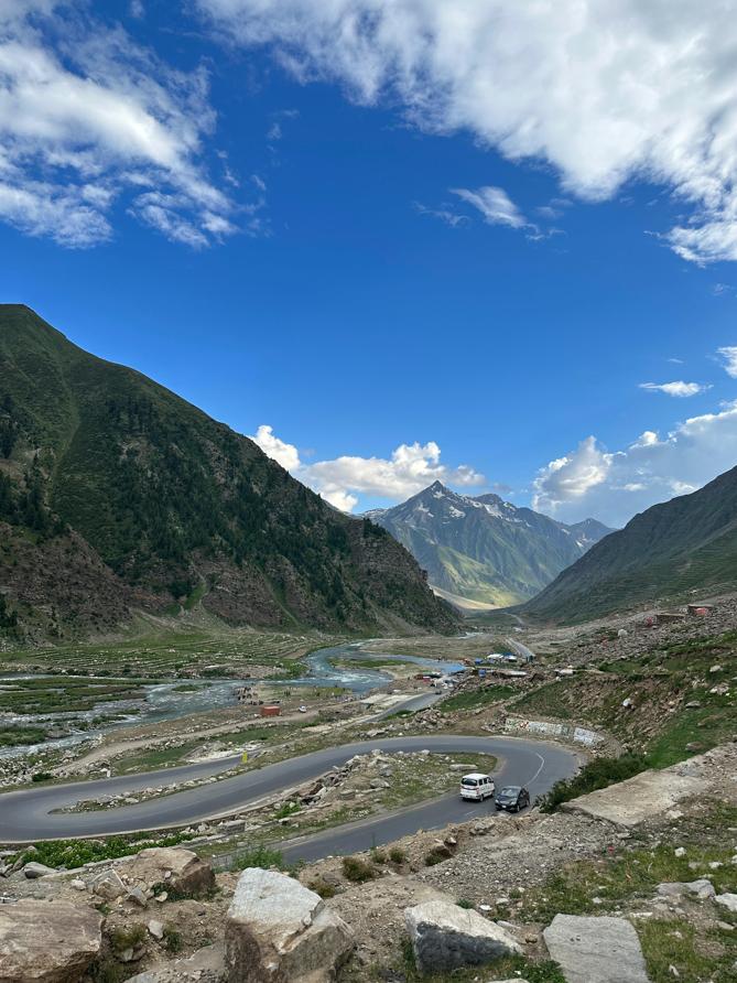
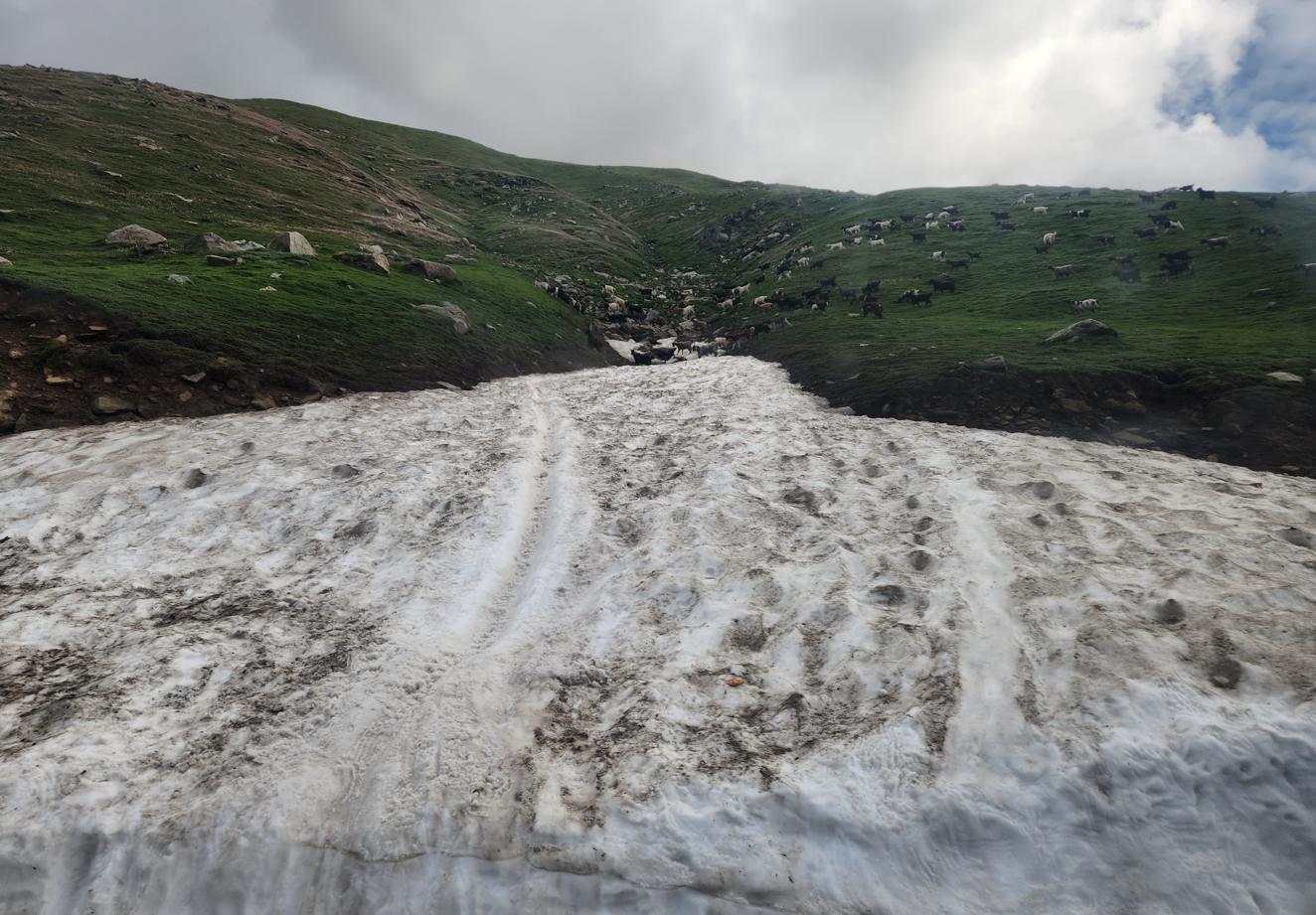
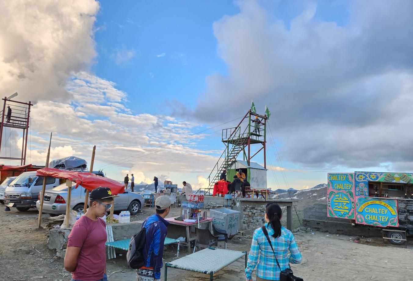
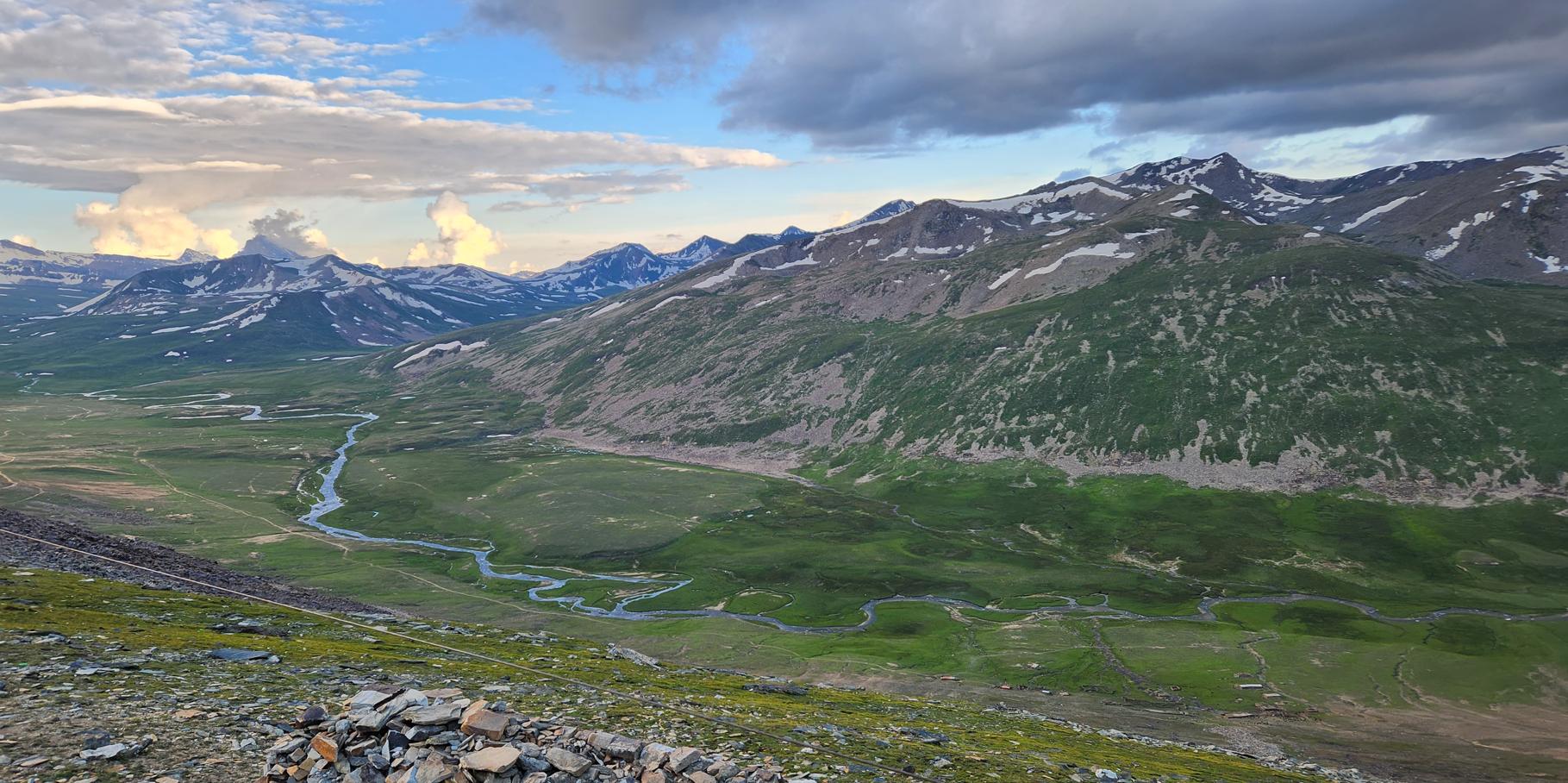
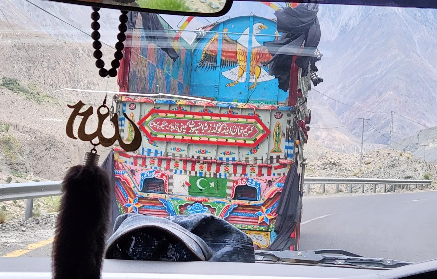
Babusar Pass, at 4,173 metres, connects Khyber Pakhtunkhwa to Gilgit-Baltistan. It is one of the most dangerous roads in Pakistan. Our driver Wassim had barely begun the descent when the car began to smell of burning — the brakes heating on the hairpin road down from 4,100 metres to the floor of the Karakoram. A police checkpoint at 2,500 metres stopped us: our tyres were smoking. We joined six other cars on the verge, waiting for our brakes to cool, while the police methodically examined each vehicle's wheels with the procedure of a people who have dealt with this many times and have no intention of dealing with the consequences of not dealing with it.
The road down from the pass runs into one of the least advertised wonders of the entire highway: the stretch between Chilas and Jaglot, where the Indus gorge functions as an open-air museum of more than fifty thousand petroglyphs and inscriptions, left by Silk Road monks, traders, and pilgrims between the first and seventh centuries CE. Near Chilas, the rock faces at Thalpan carry the densest cluster of Buddhist carvings in the region — stupas, standing Buddhas, scenes from the Jataka tales — patiently catalogued over decades by a joint Pakistani-German archaeological mission. Further downstream at Shatial, travellers writing in half a dozen languages and scripts, Brahmi and Sogdian and Kharoshthi among them, left behind more than seven hundred drawings and a thousand inscriptions: a visitors' book kept open for six centuries. We did not see any of it. We have under-estimated the time needed to transverse the road and passed this stretch late. Besides, the road that year was still recovering from landslides, and gave us reconstruction crews and dust and long stationary queues rather than leisure; by the time we reached the corridor it was already dark, and on the return leg, days later, we were too pressed to get back to Islamabad to stop at all. It remains, on the list of things I regret not doing in Pakistan, close to the top — an entire chapter of the Silk Road's religious and commercial history, carved directly into stone, that I drove past twice without seeing.
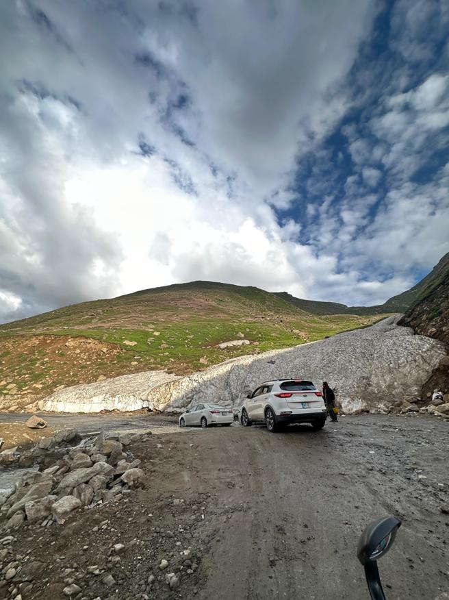
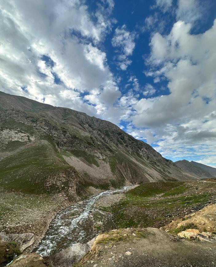
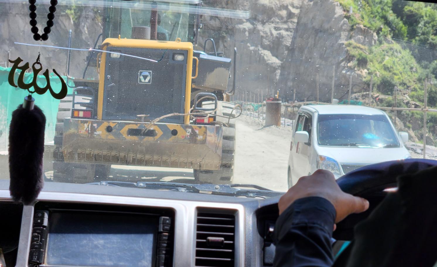
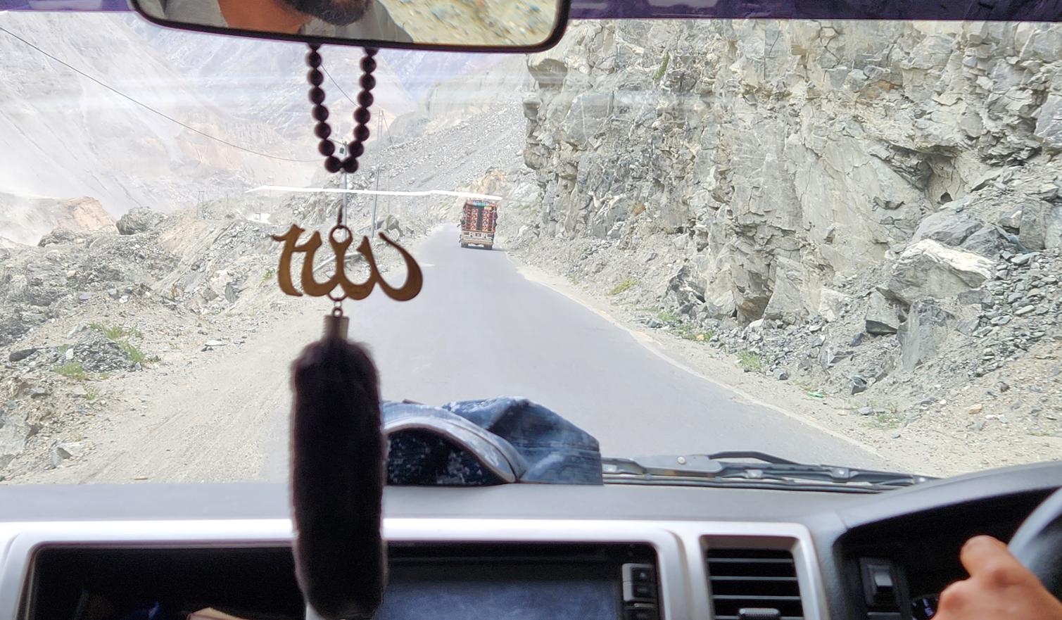
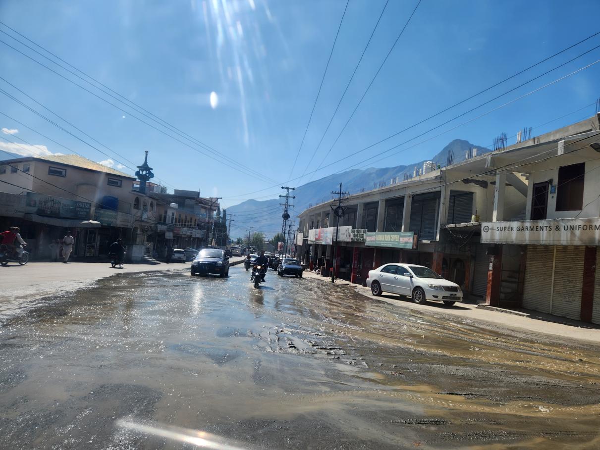
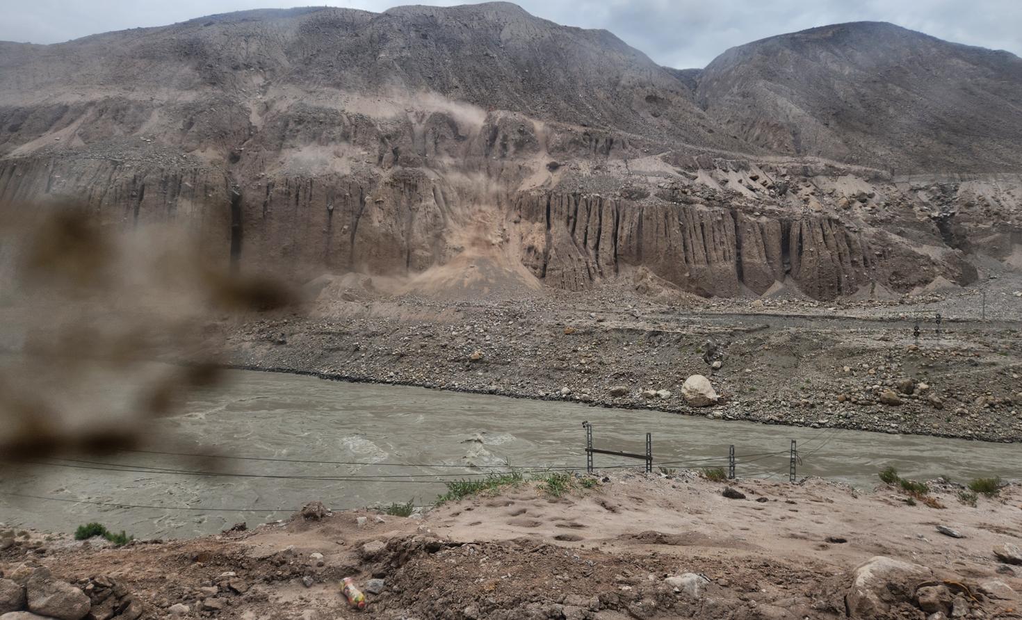
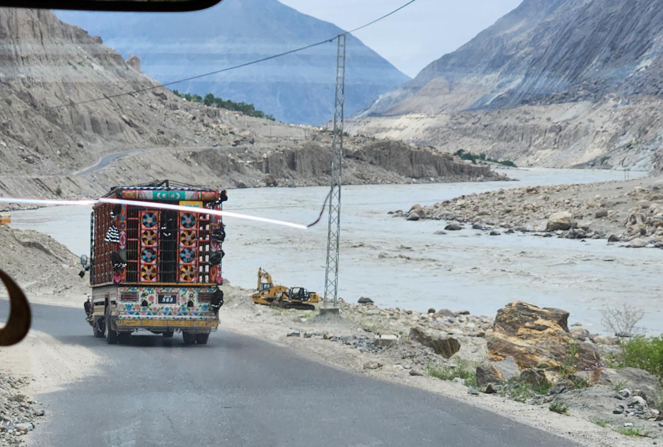
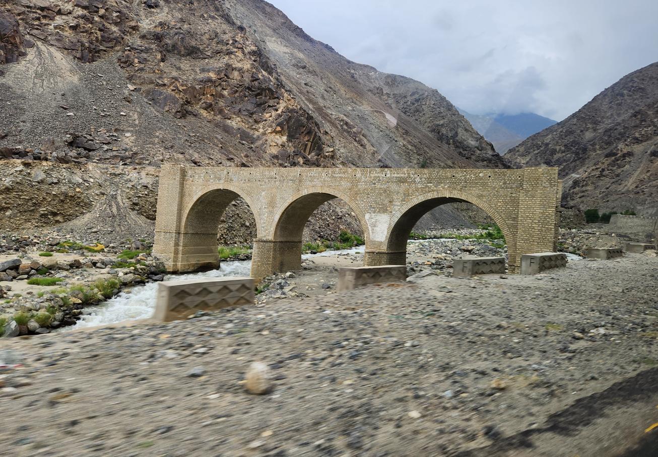
None of the road's danger was obvious to us on the way up. We drove the Chilas-Jaglot stretch northbound in the evening, the light already gone, and it was only a fortnight later, coming back south towards Islamabad in full daylight, that we understood what we had actually driven through in the dark. The road is barely wide enough for one vehicle in each direction, has no railings of any kind between the tarmac and the cliff that drops straight into the Indus, and in long sections is not paved at all — compacted gravel, and in the wetter stretches a shallow river of its own, running directly across the carriageway. Much of it was under active repair, work crews and machinery squeezed onto the same narrow shelf as the traffic, because the corridor sits almost exactly on the suture line where the Indian and Eurasian plates collide, with a sliver of the Kohistan arc caught between them — a seismically restless junction that makes rockfall, landslide, and outright collapse a matter of routine maintenance rather than occasional disaster. And this, of all the roads in Pakistan, is the one that cannot simply be closed: it is the physical spine of the CPEC, the single paved link between western China and the Arabian Sea, which means it must be dug out, propped up, and reopened within days of every slide, whatever the season demands. Daylight made the arithmetic obvious in a way the darkness had spared us: a driver drowsy after a long day, a wheel a few inches wide of where it should be, and there is nothing between the vehicle and the river below but empty air. The scenery, it should be said, is extraordinary. I understood only in hindsight that we had spent an entire evening admiring a landscape that was, quite literally, still trying to bring the road down.
We reached Gilgit at midnight, after what Wassim, understating it professionally, called a long day.
Gilgit-Baltistan: The Disputed Territory
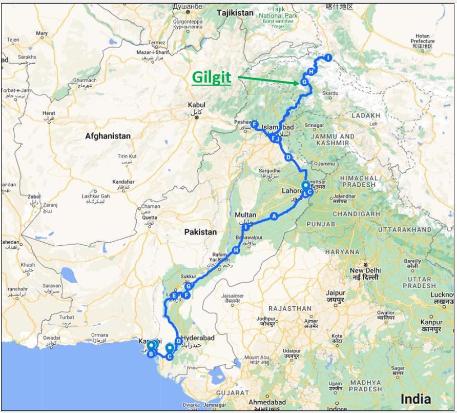
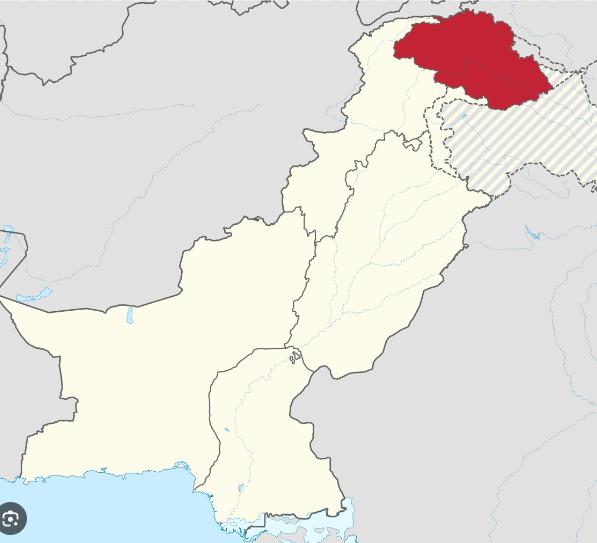


Gilgit-Baltistan is one of the more complex territories on earth from a constitutional standpoint. It is Pakistani-administered, but its status under international law is disputed because of its relationship to the broader Kashmir question: when the Maharaja of Jammu and Kashmir acceded to India in 1947, the rebels in Gilgit overthrew his authority and chose Pakistan instead, and the matter has never been formally resolved in the United Nations.
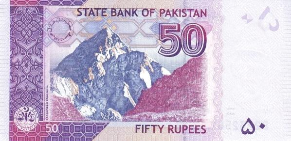
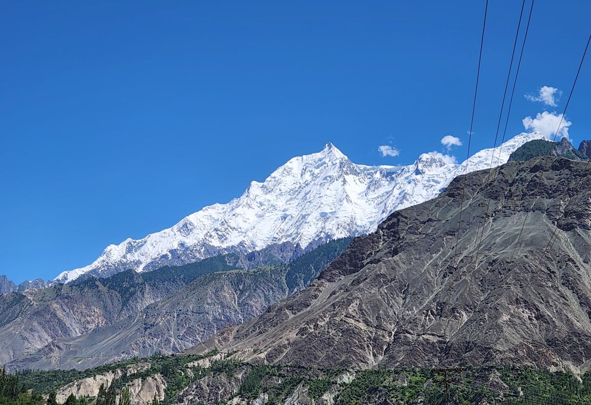
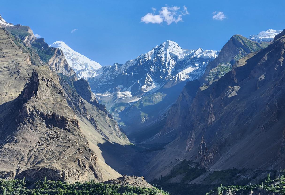
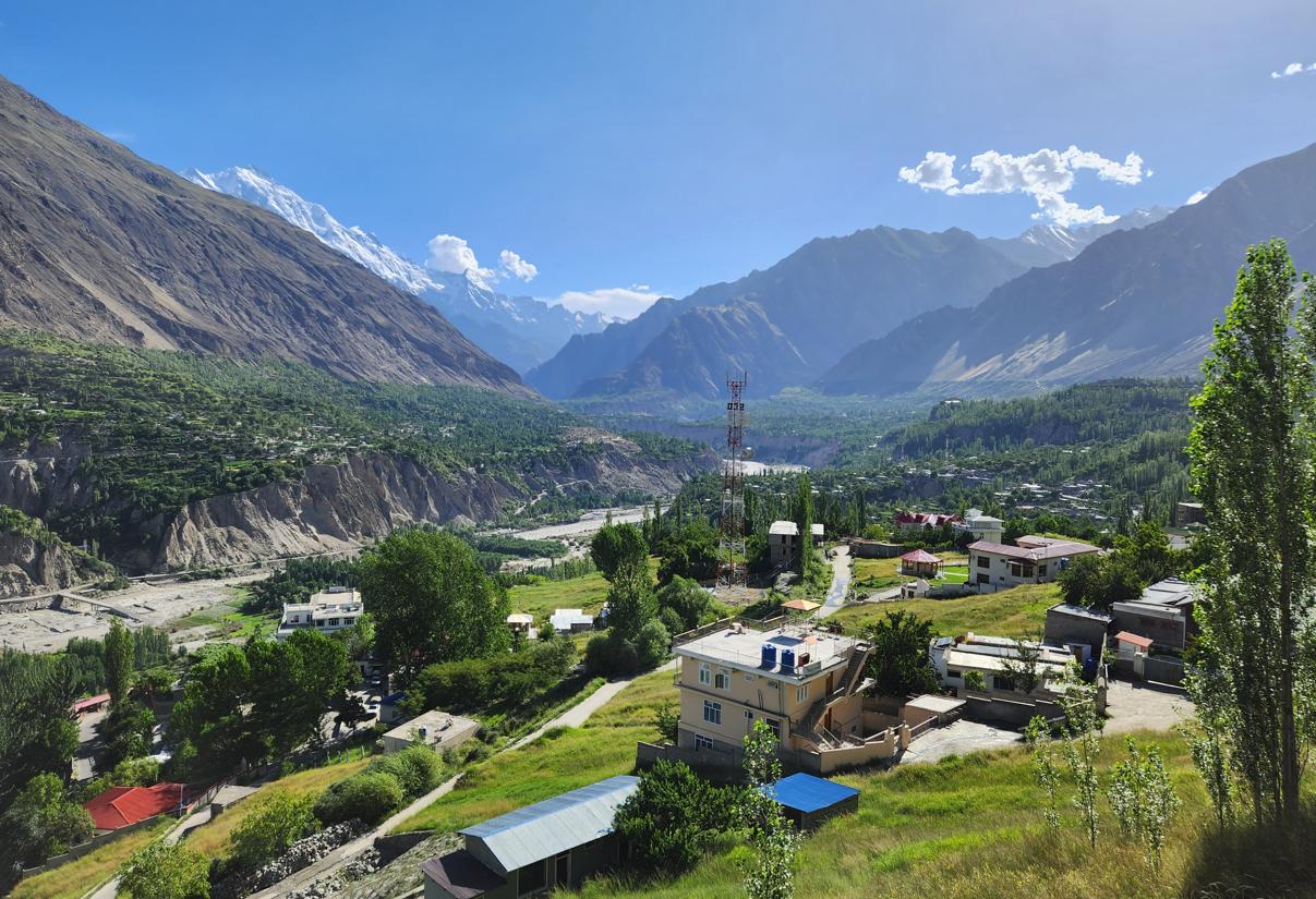
The territory is home to five of the world's fourteen eight-thousanders — including K2, the second-highest mountain on earth, which has killed more climbers per successful ascent than any other peak of its class — and three of the world's longest glaciers outside the polar regions. It is also the point at which three of the world's great mountain ranges converge: the Himalaya, the Karakoram, and the Hindu Kush meet near the town of Jaglot at the confluence of the Indus and Gilgit rivers, a geographical fact so dramatic that it requires a moment to process.
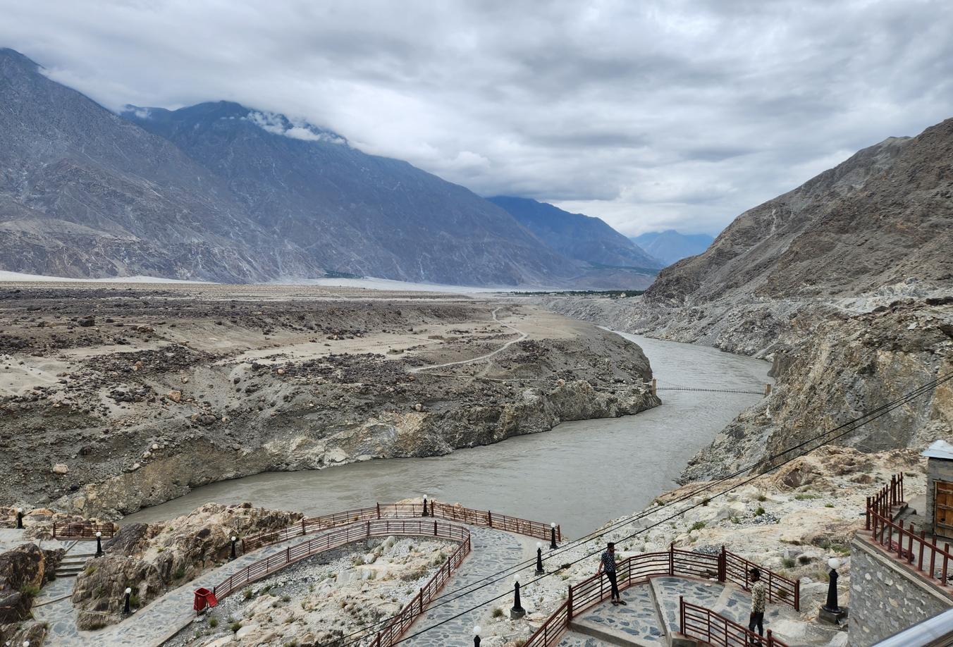
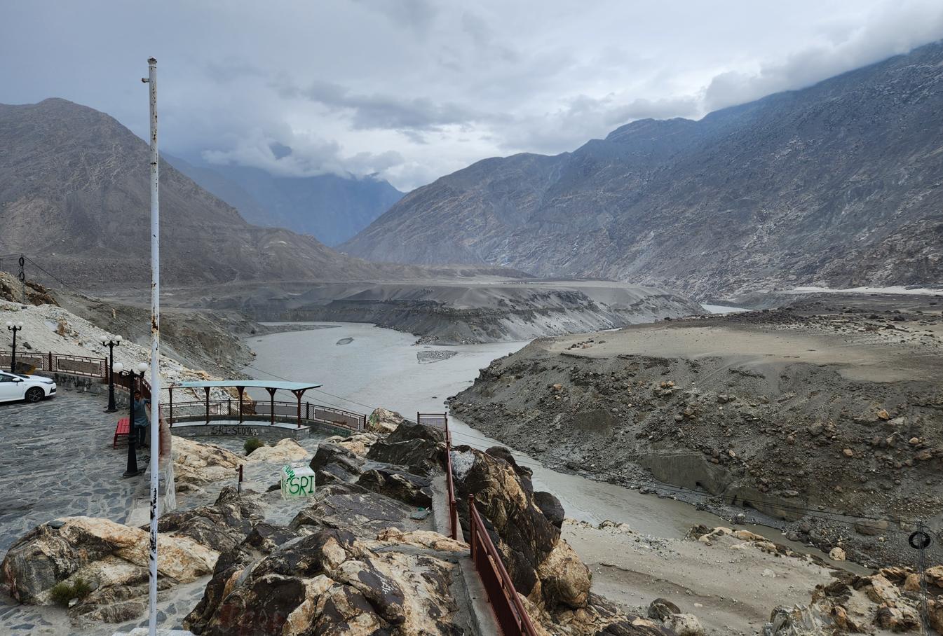
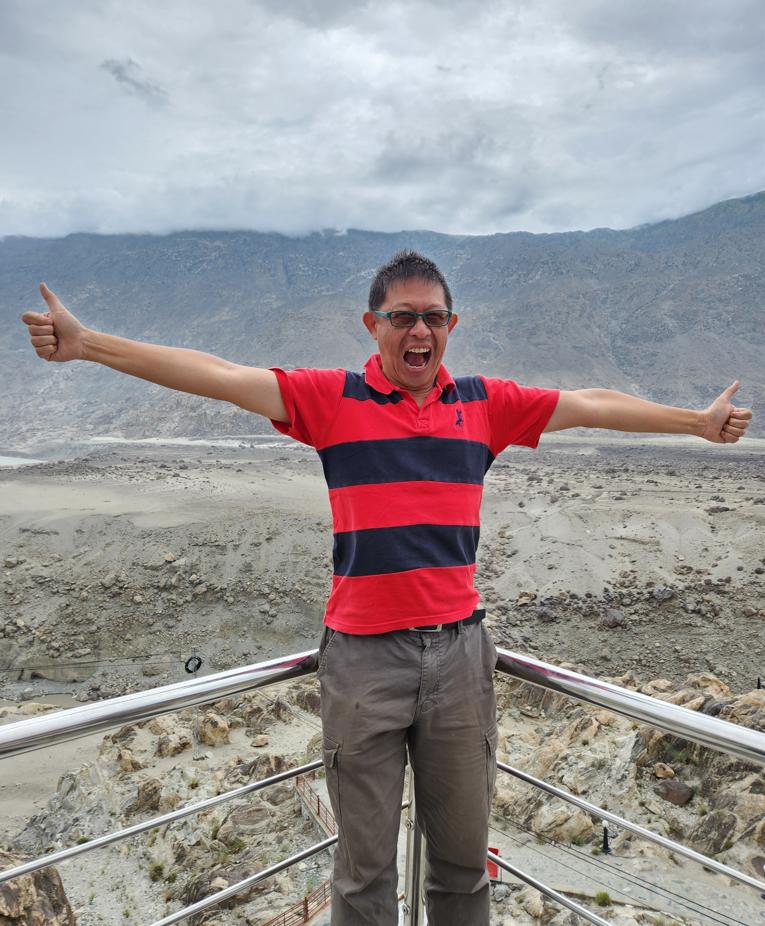
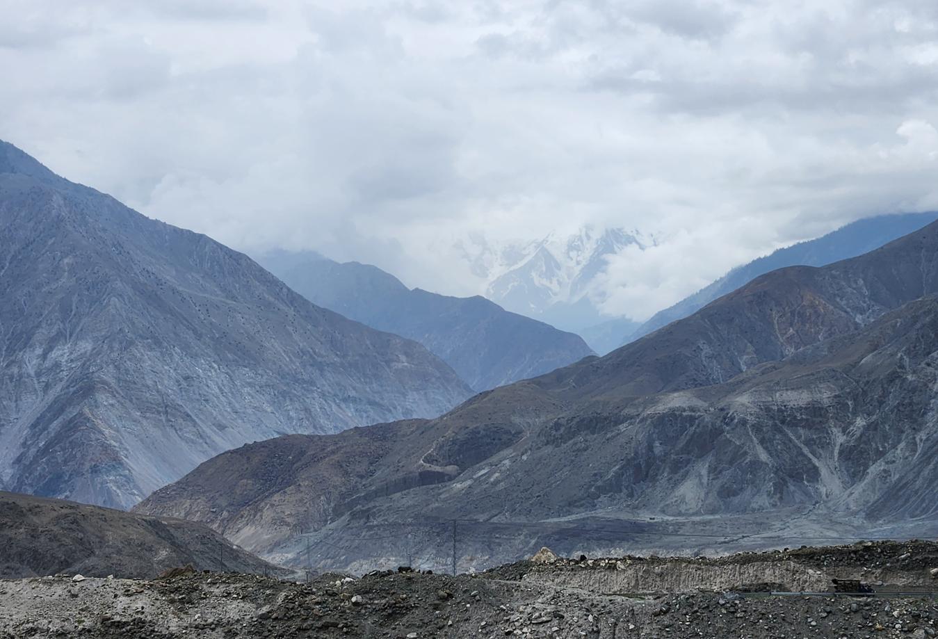
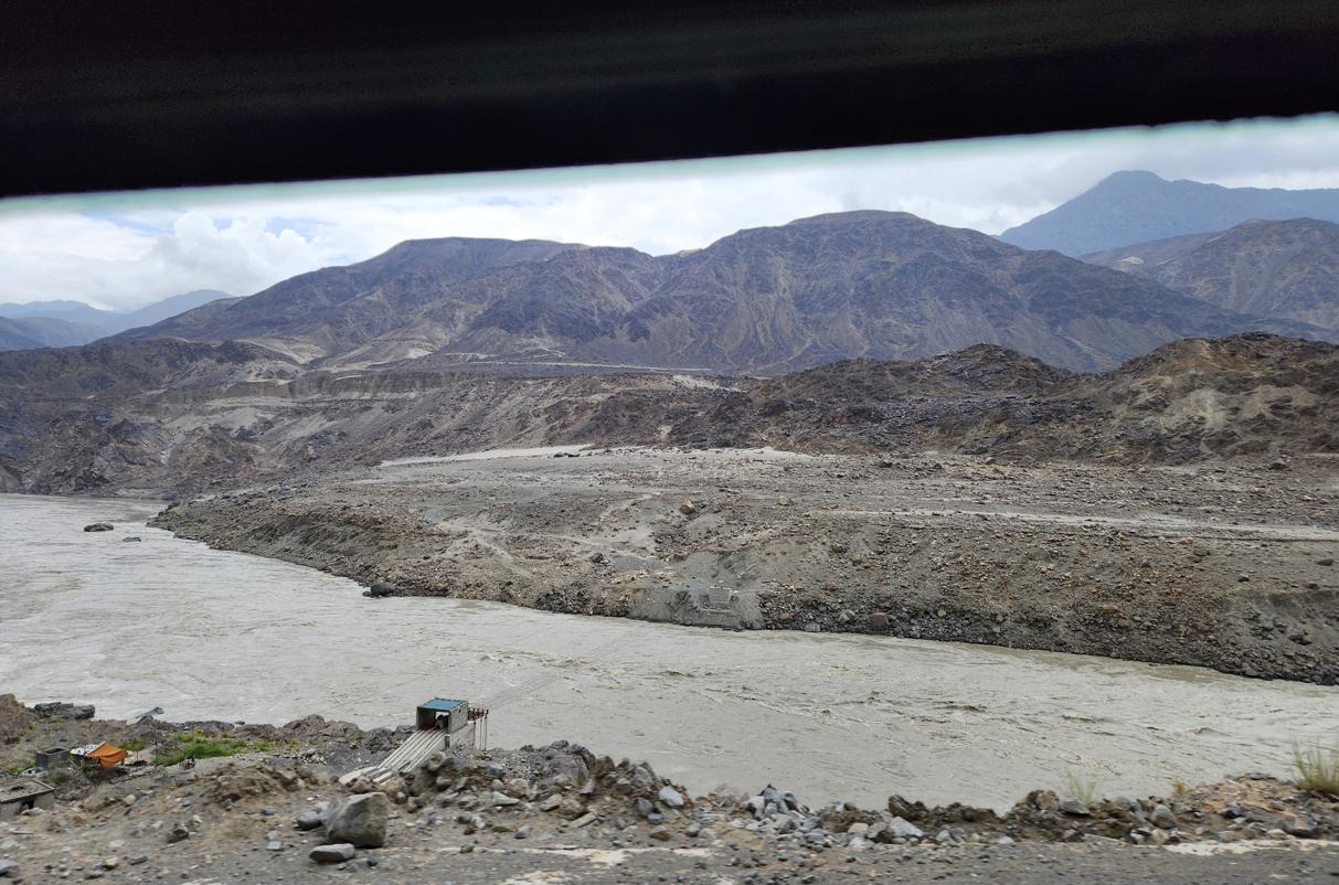
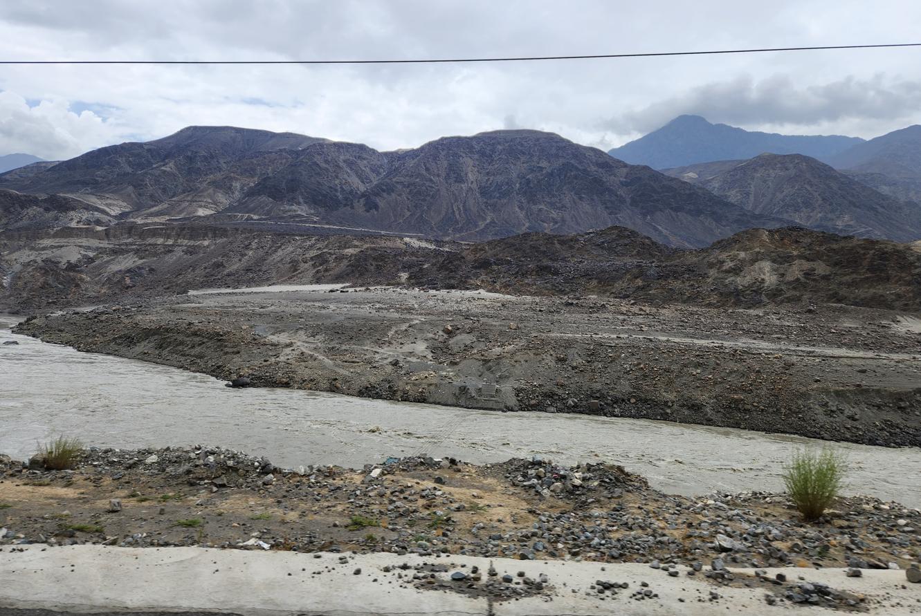
At that confluence, standing on a rocky promontory above the foaming water, I tried to work out what I was seeing: the Karakoram to my left, the Himalaya to my right, the Hindu Kush behind me, the two great rivers merging below. This is one of the few places on earth where three of the world's major mountain systems touch, and the rivers that drain them meet in a single violent confluence. A Chinese cyclist we encountered there — who had ridden from Guangzhou through Vietnam, Laos, Thailand, Myanmar, Yunnan, Tibet, and Xinjiang, and was now heading, he told us with cheerful improbability, to the Cape of Good Hope — seemed entirely unsurprised by the view.
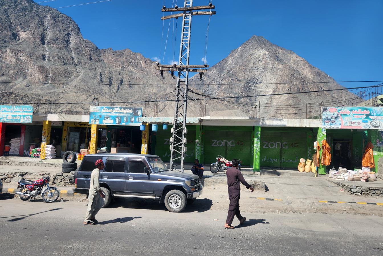
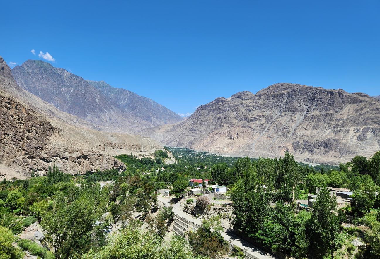
By daylight, the terrain we had crossed in darkness the night before revealed itself as some of the most severe landscape either of us had ever driven through: the Indus compressed into a narrow, fast, silt-grey channel far below, the road cut directly into sheer canyon walls of banded rock, switchbacking around outcrops with barely a car's width to spare on either side. There was none of the softness of the Kaghan Valley here — no forest, no meadow, just rock, river, and sky arranged on a scale that made every vehicle on the road look like something left behind on a shelf by mistake.
'China and Pakistan are brothers,' he said, locking his bicycle to a rock with a cable lock.
'Yes,' I said, in Mandarin. 'So I have been told.'
Gilgit, the Kargah Buddha and the UN Peacekeepers
Nine kilometres outside Gilgit, in a side valley where the rock walls rise vertically from the riverbed, a standing Buddha has been carved into the cliff face. It is perhaps fifteen metres tall, its hands in a gesture of blessing, its face worn by thirteen centuries of Karakoram weather to an expression of gentle ambiguity. It dates to approximately the seventh century CE — the period when Buddhism was still the dominant religion of this region, before the arrival of Islam gradually replaced it over the course of several centuries.
Local legend is more dramatic than scholarship: it says the figure is not a Buddha at all, but a man-eating giantess who terrorised the valley's residents and was pinned to the cliff face by a pir — a holy man — as permanent punishment. The two interpretations are not mutually exclusive. They simply address different questions.
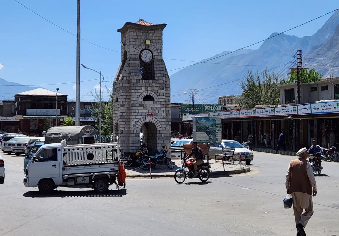
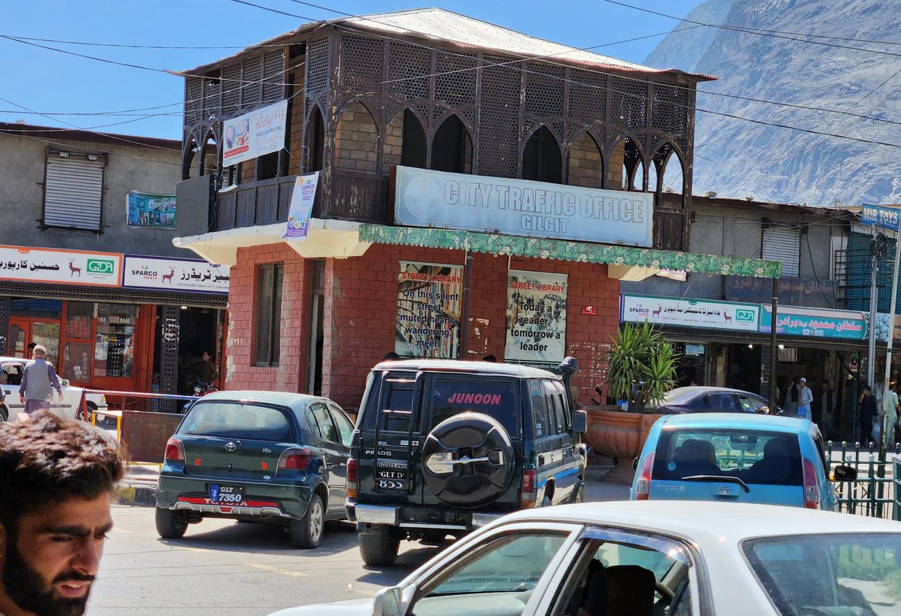
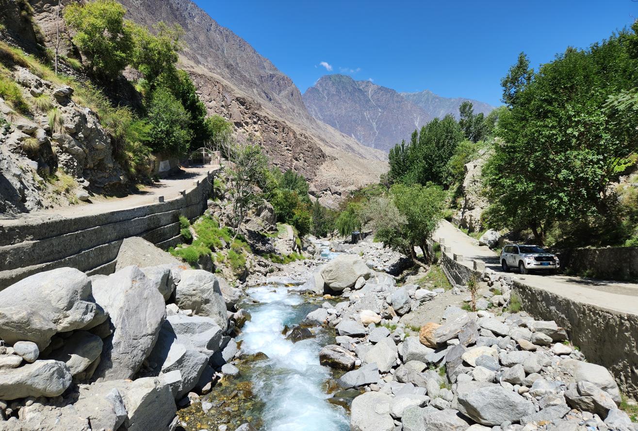
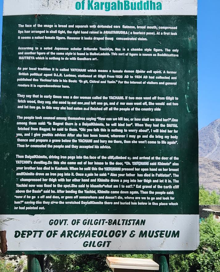
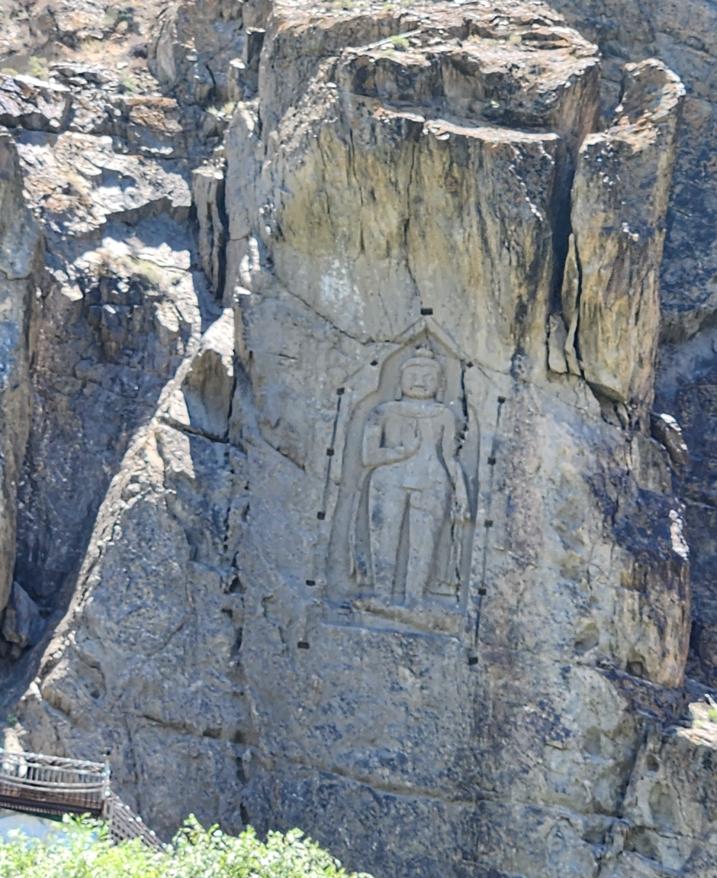
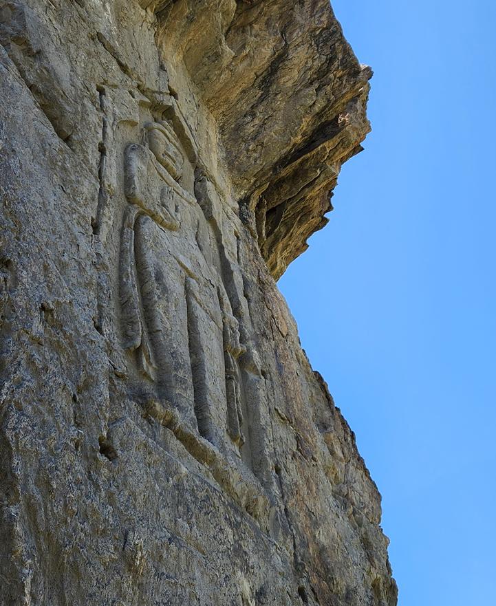
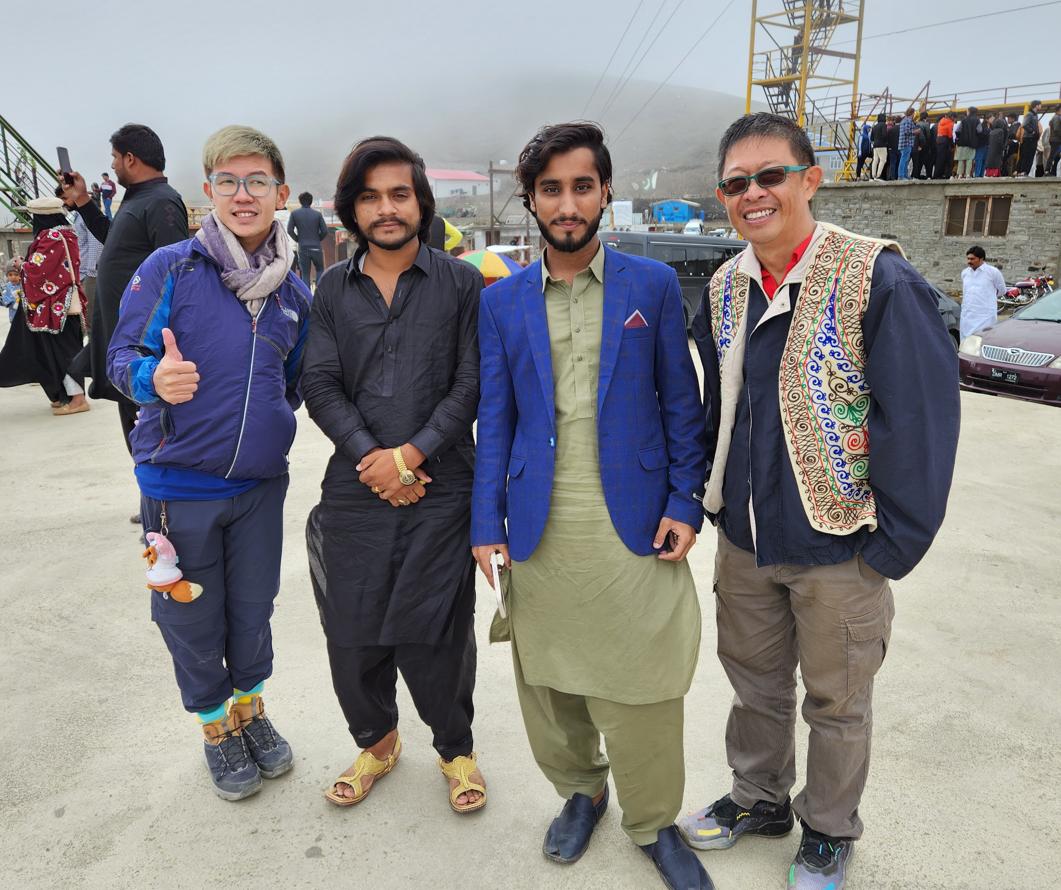
At the Buddha, we encountered two United Nations peacekeeping officers — one Croatian, one Argentine — and their Pakistani escorts. The Argentinian woman had driven from Islamabad specifically to see the carving. We stood together in the afternoon shadow of the cliff, the four of us and our various guides, and looked up at the worn face of a god that had been many things over the centuries — a historical document, a theological statement, a monster, and now a tourist attraction — and none of us said anything for quite some time.
The silence felt appropriate. There are places where silence is the only adequate response to the accumulated weight of what has happened there.
A Note on Process
The travelogue on this site are based on my own journeys, photographs, Facebook posts, and field notes. I work with Claude (Anthropic's AI assistant) as a drafting and editorial partner — giving it my raw material and working iteratively to shape it into finished prose. The AI helps me draft quickly, maintain a consistent voice across long narratives, and edit at the document level. The website's HTML and coding are built with the assistance of Gemini (Google). Audio versions of the essays are produced using NotebookLM (Google). Every observation, opinion, and conclusion in the written work is mine. The AI tools are the instruments; I am the author.