The Karakoram Highway —
The Eighth Wonder (Part II)
Hunza, Sacred Rocks & Roof of the World
Baltit Fort: Hunza's Long Relationship with China
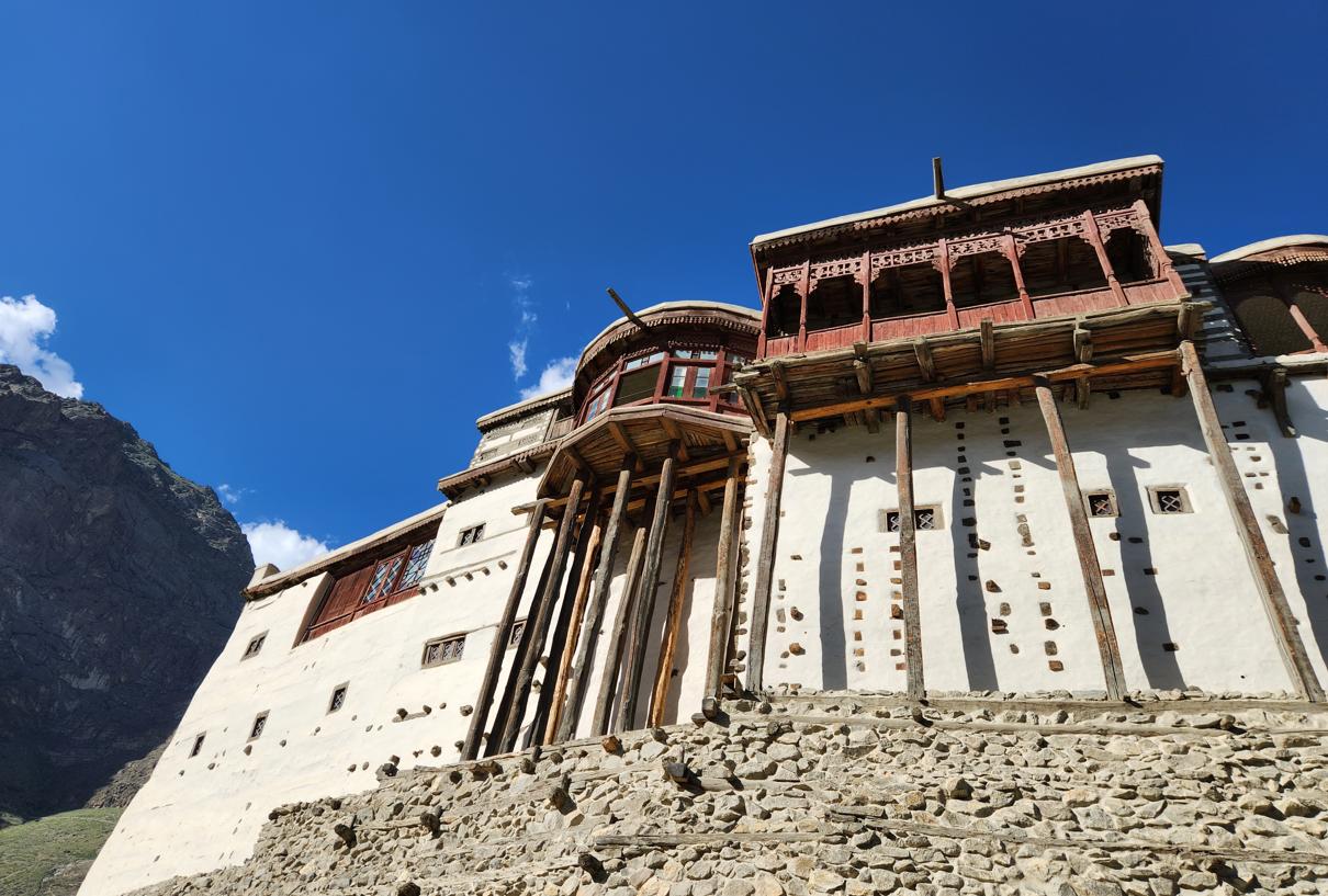
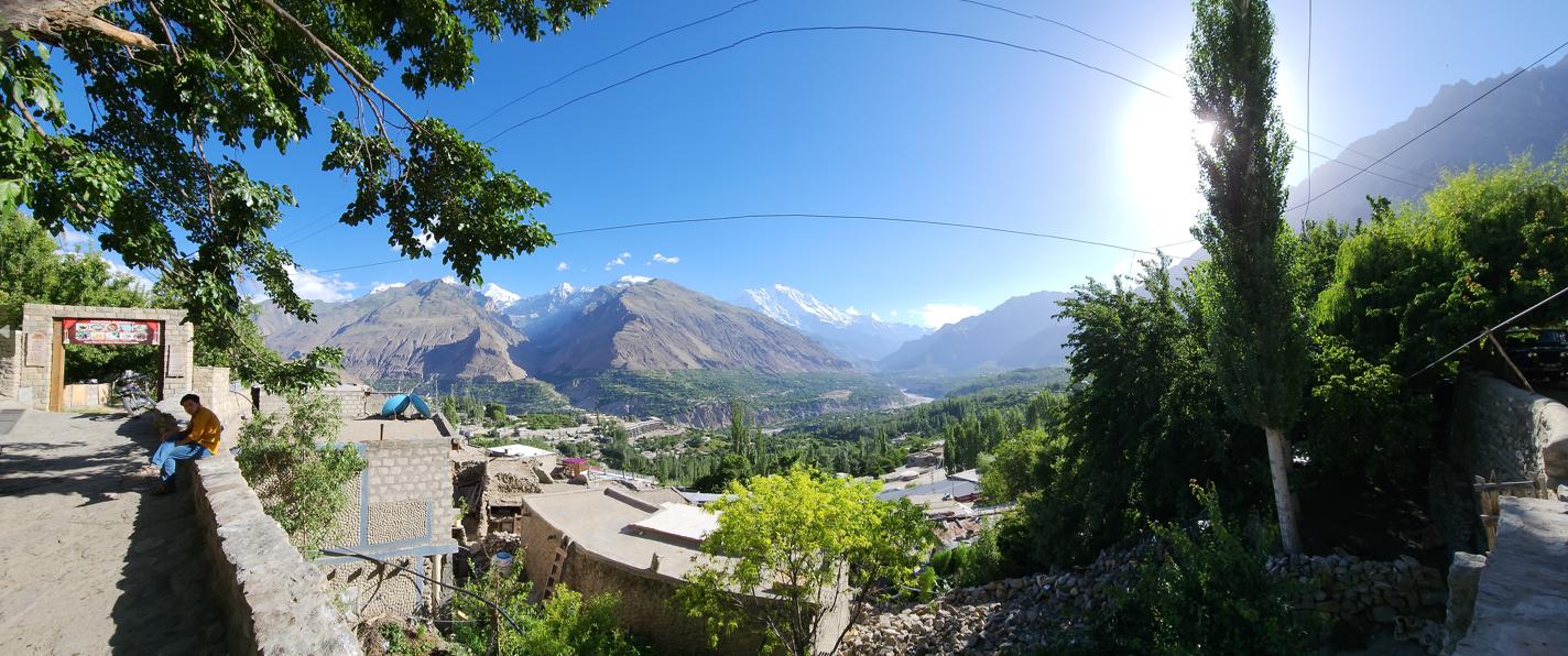
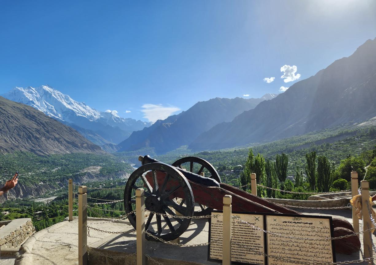
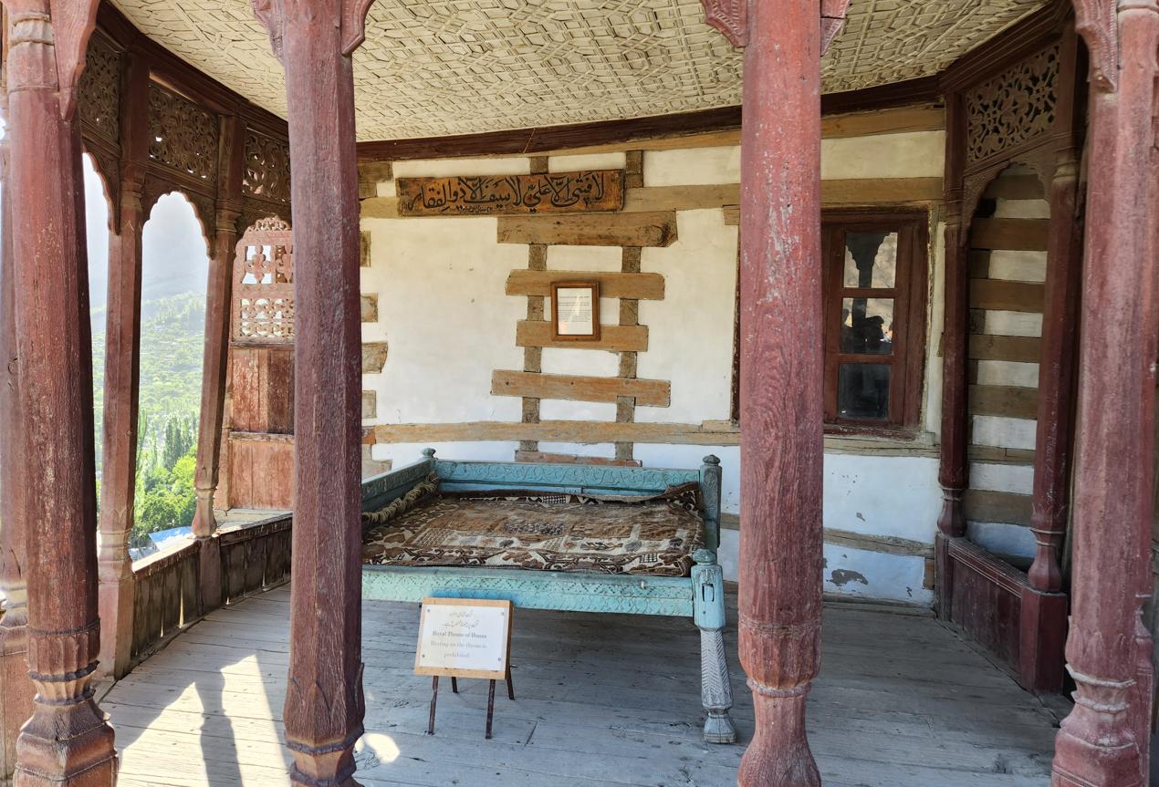
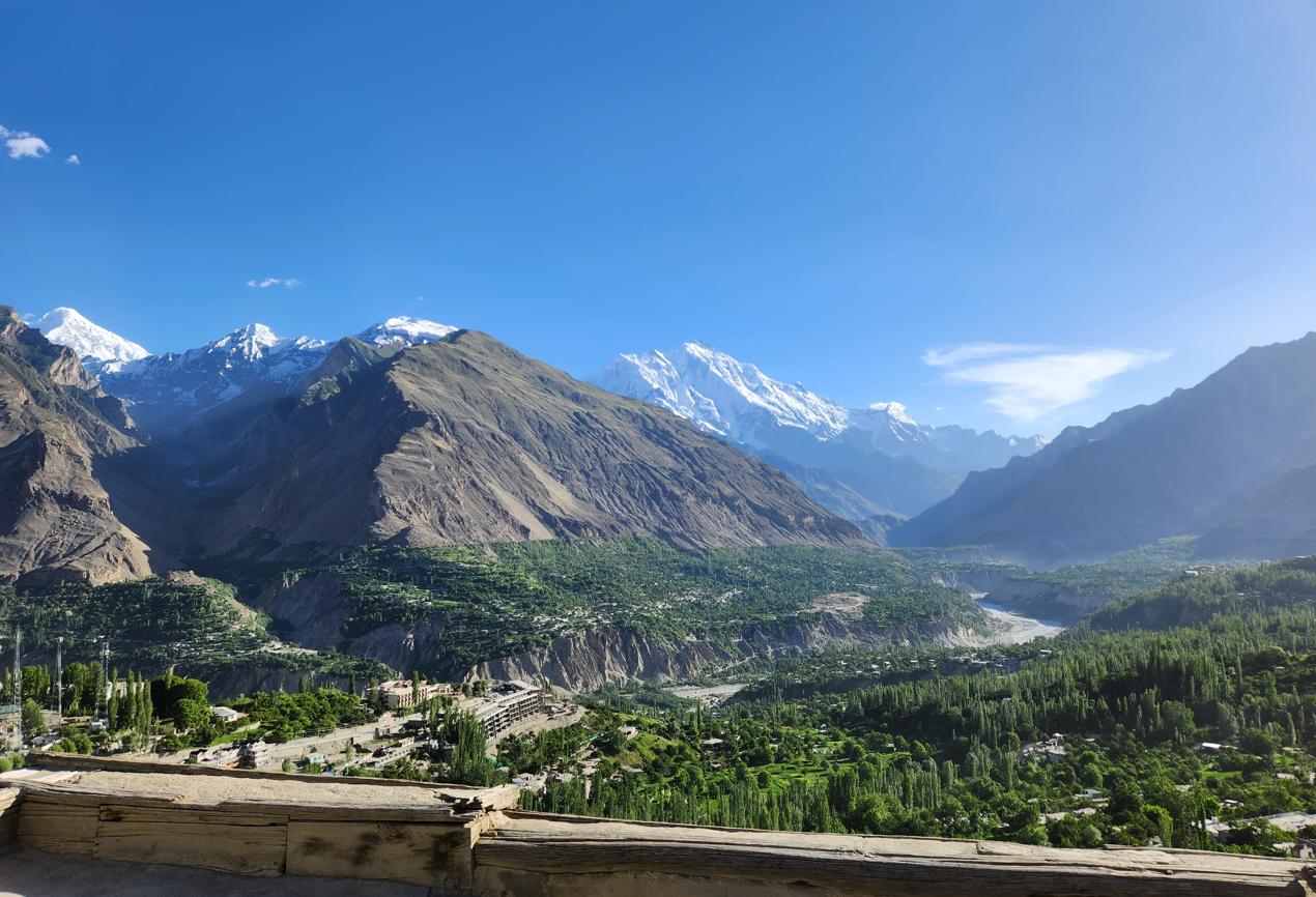
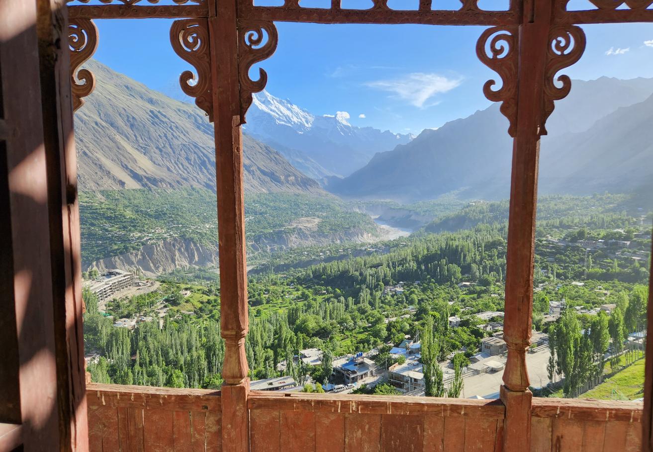
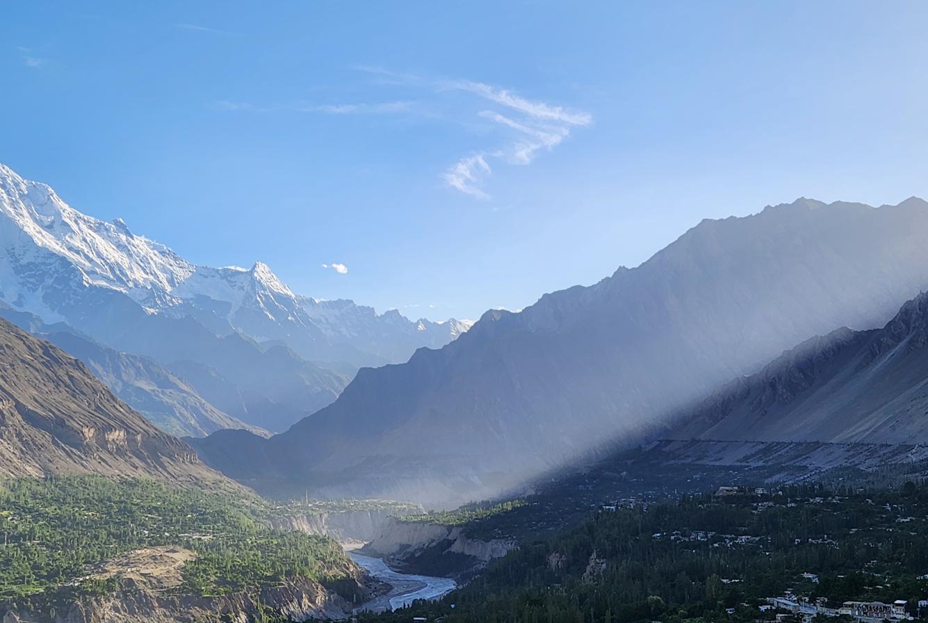
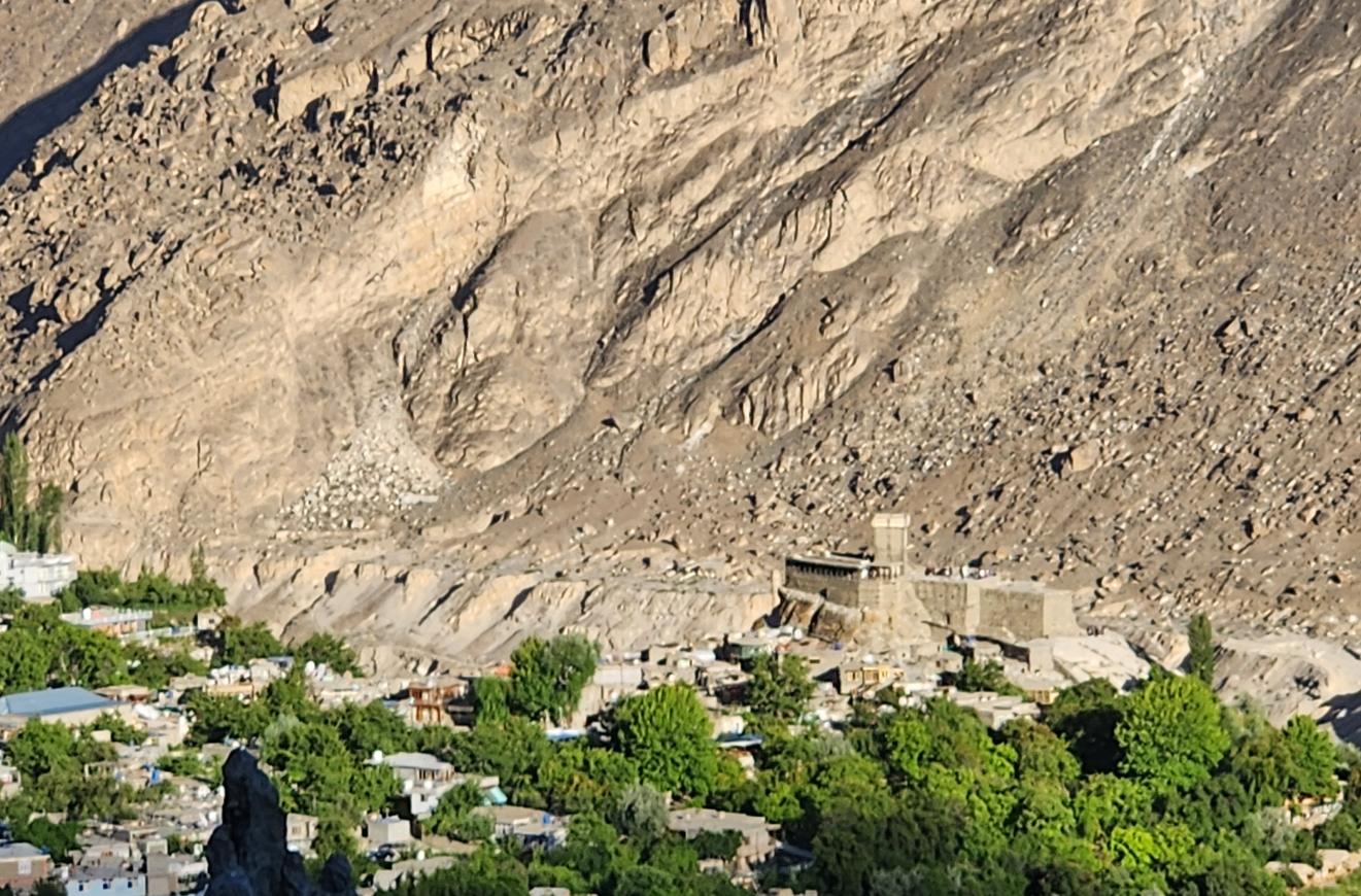
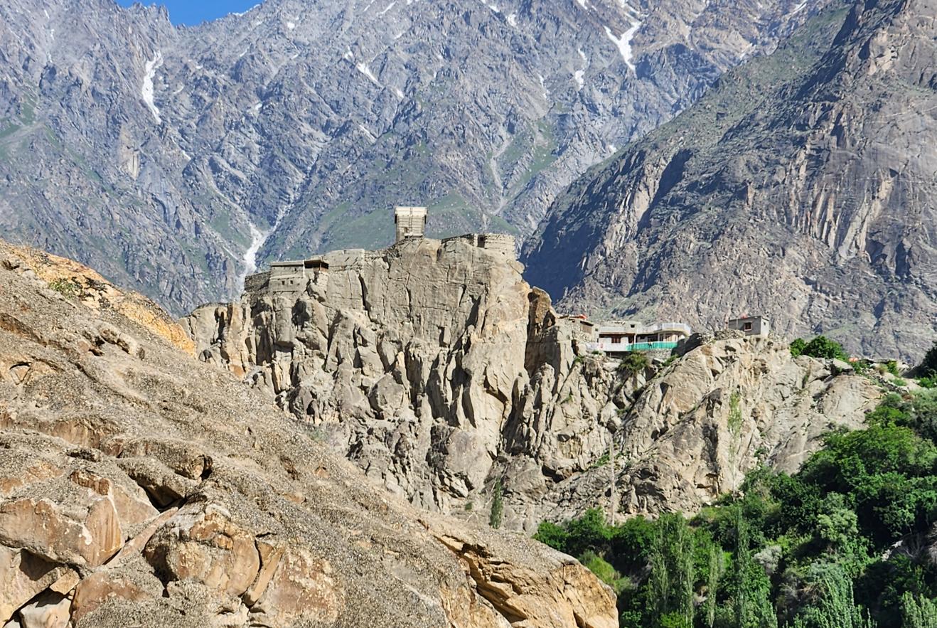
The Baltit Fort in Karimabad, the capital of Hunza District, was founded in the eighth century CE and served as the residence of the Mirs of Hunza for over seven hundred years. It is a remarkable building — a many-storeyed wooden and stone structure clinging to a rocky spur above the valley, with views of Rakaposhi (7,788 metres, known locally as Dumani, 'Mother of Mist') that constitute one of the more staggering perspectives available to a person without supplemental oxygen. From the fort's upper terraces the whole Hunza Valley opens out below in narrow green terraces of orchard and wheat, poplar windbreaks planted in dead-straight lines against the wind, apricot trees heavy with fruit in July — and above all of it, filling most of the southern sky, Rakaposhi itself: a single unbroken wall of ice and snow, its glacier spilling down between darker ridgelines toward the valley floor with the slow, glacial patience the word was invented for. It is not a mountain one photographs so much as a mountain one keeps returning to look at, as if checking it is still really there.
The fort's construction invites another observation, this one architectural rather than political: tapering whitewashed walls, flat wooden roofs, deep-set windows, and carved balconies projecting on timber brackets — the whole silhouette reads, to anyone who has spent time further east, as strikingly close to Tibetan Dzong architecture, the fortress-monastery tradition that produced Bhutan's great dzongs and the citadels of Ladakh and central Tibet itself. This is not simply visual coincidence, though it is also not quite as local as it looks. Hunza's Burusho people speak Burushaski, a language isolate related to nothing else on earth as far as anyone has determined, and are ethnically distinct from Tibet. But the wider region of Gilgit-Baltistan — Baltistan proper, a valley or two to the east — was shaped by centuries of direct Tibetan contact.
The Balti people there are substantially of Tibetan descent, migrants who moved west off the plateau roughly between the ninth and fourteenth centuries and left the region so thoroughly marked by the connection that it was known for generations simply as "Little Tibet." Genetic studies now put Tibetan ancestry in the modern Balti population at somewhere around a quarter, layered over an older Dardic, Indo-Aryan base; their language remains part of the Tibetic family and is, by some accounts, more conservative than the Tibetan spoken in Lhasa today, preserving sounds and vocabulary long since dropped from the modern standard. Islam arrived among the Balti from the fourteenth century onward, but it never fully erased what came before — the architecture, the food, and a good deal of folklore still carry the imprint of Tibetan Buddhism and, beneath that, the older Bön religion it displaced. Baltit Fort's own builders were Burusho, not Balti, and Hunza is a different valley with a different history from Baltistan proper. But standing beneath those tapering walls with Rakaposhi filling the sky behind them, it was easy to believe that whatever moved west off the Tibetan plateau all those centuries ago did not stop tidily at any one valley's border.
Inside the Sovereign Chamber
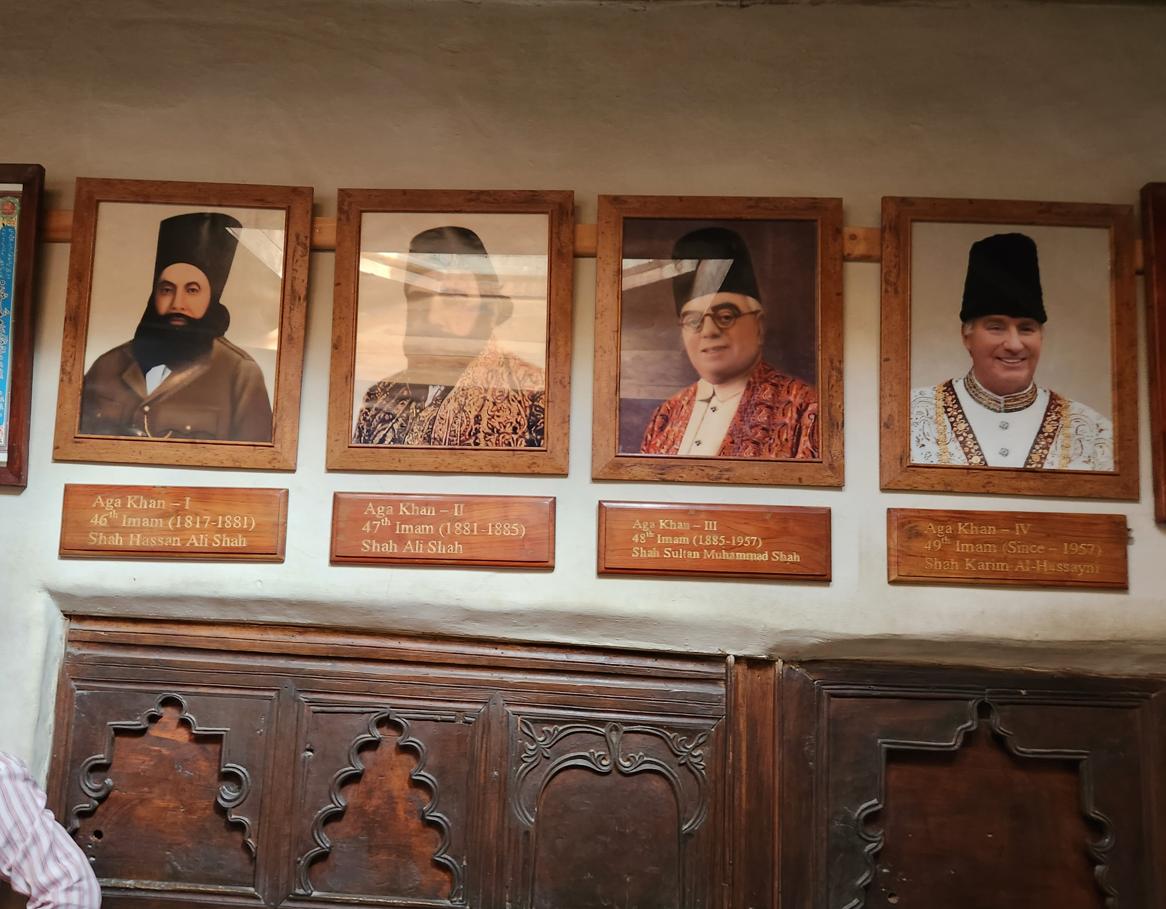
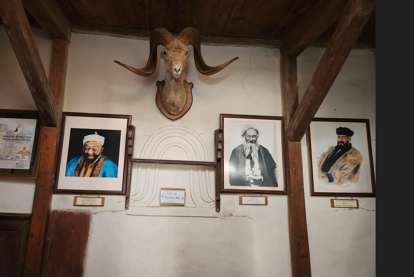
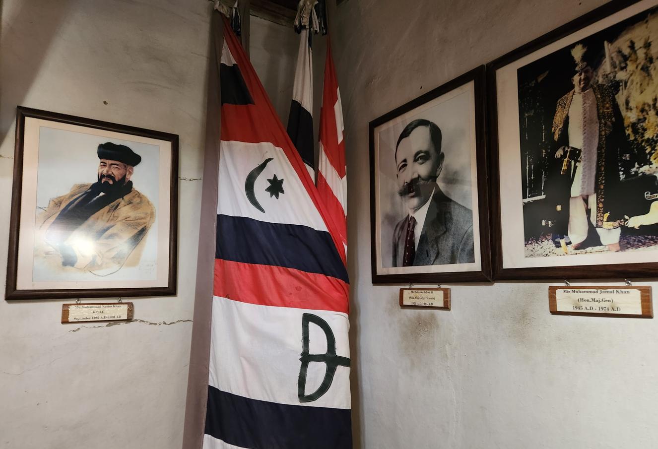
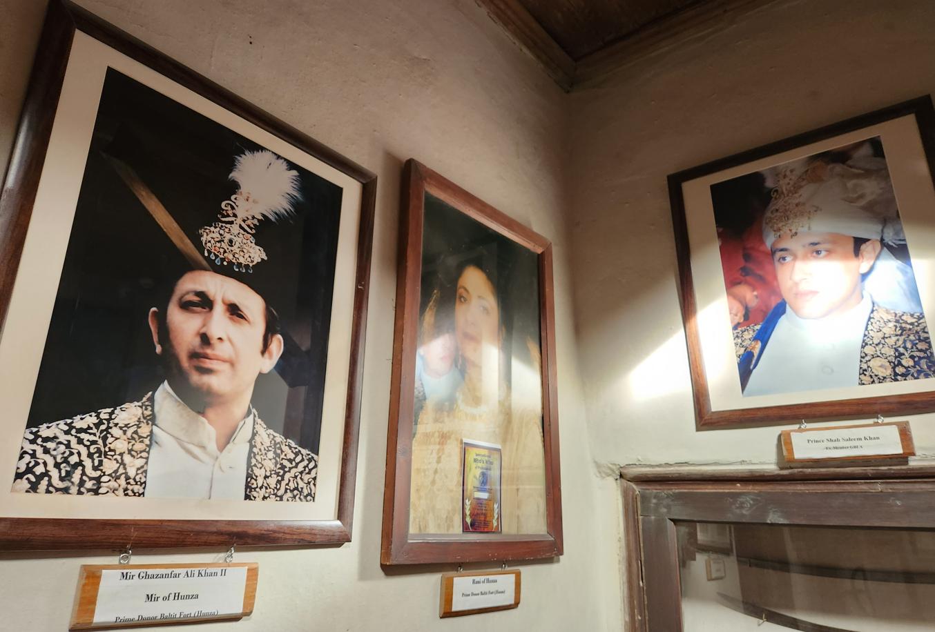
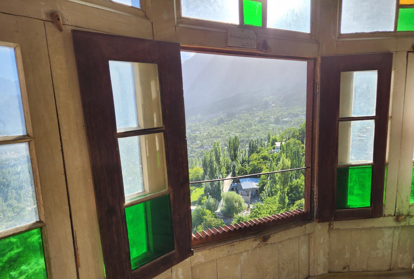
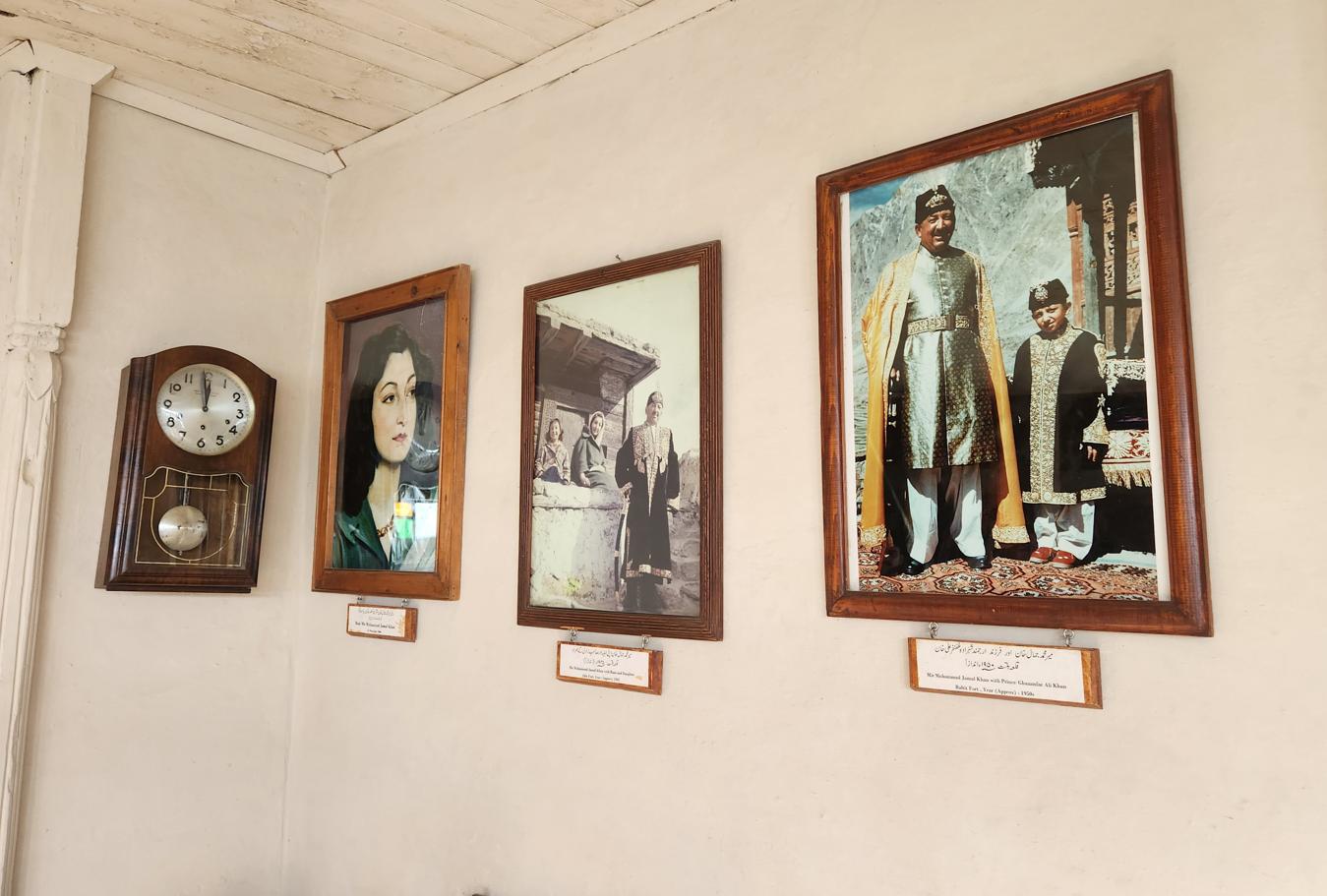
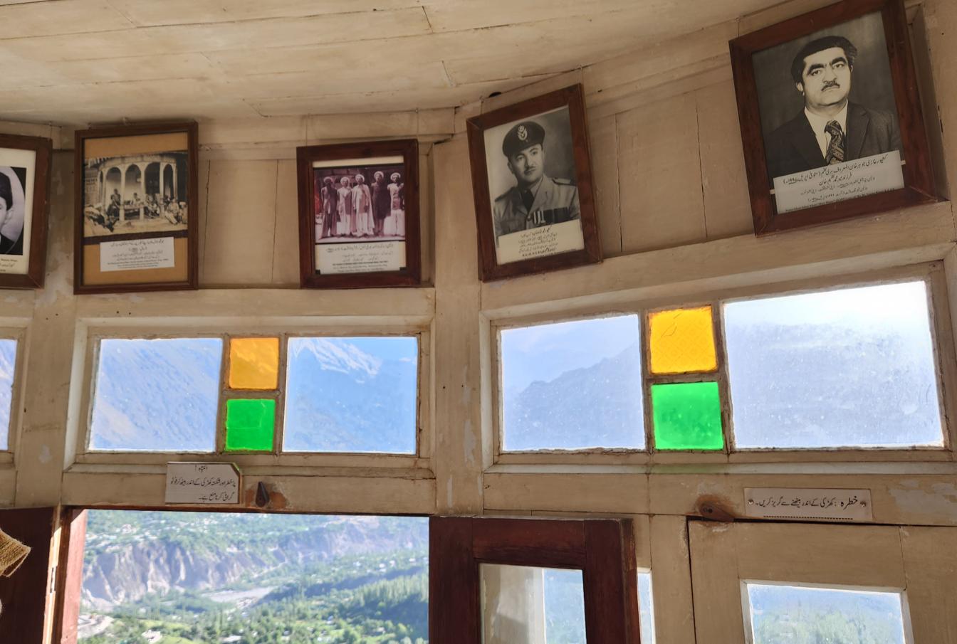
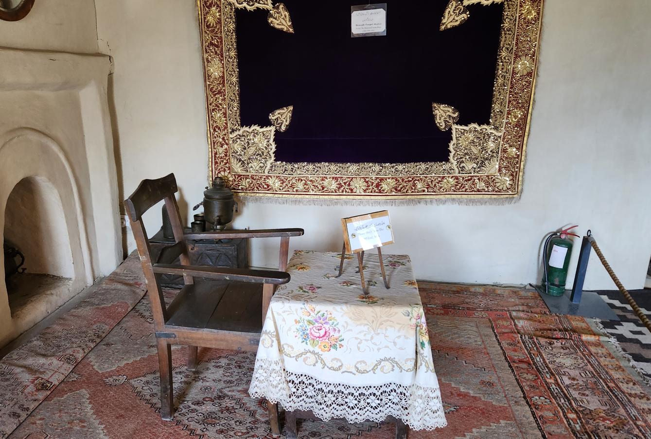
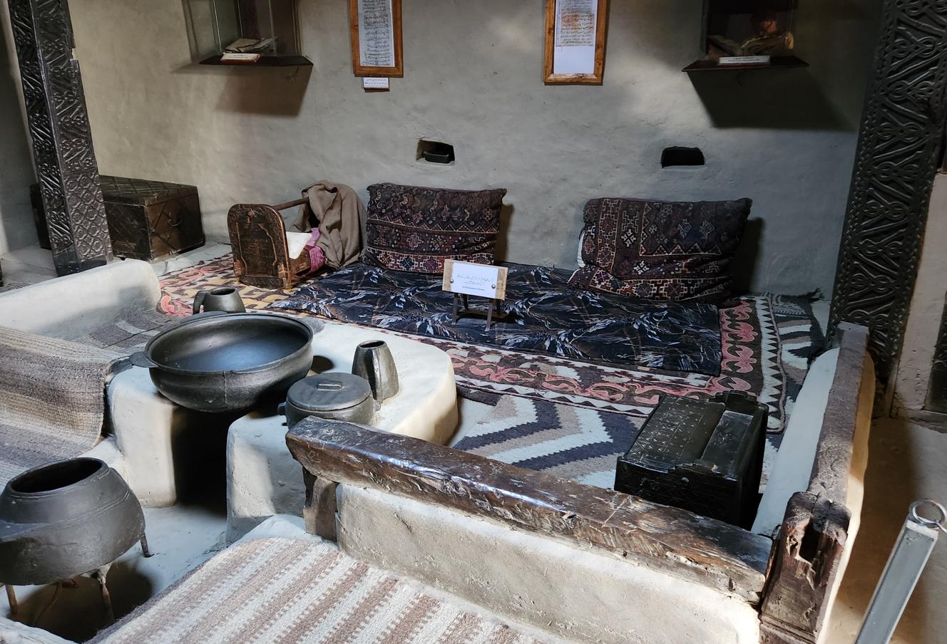
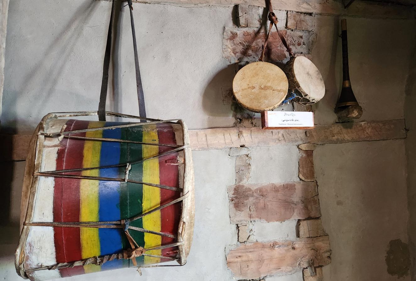
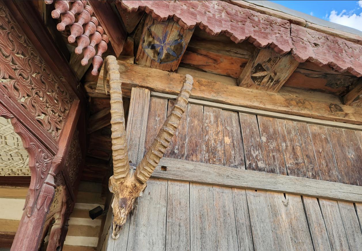
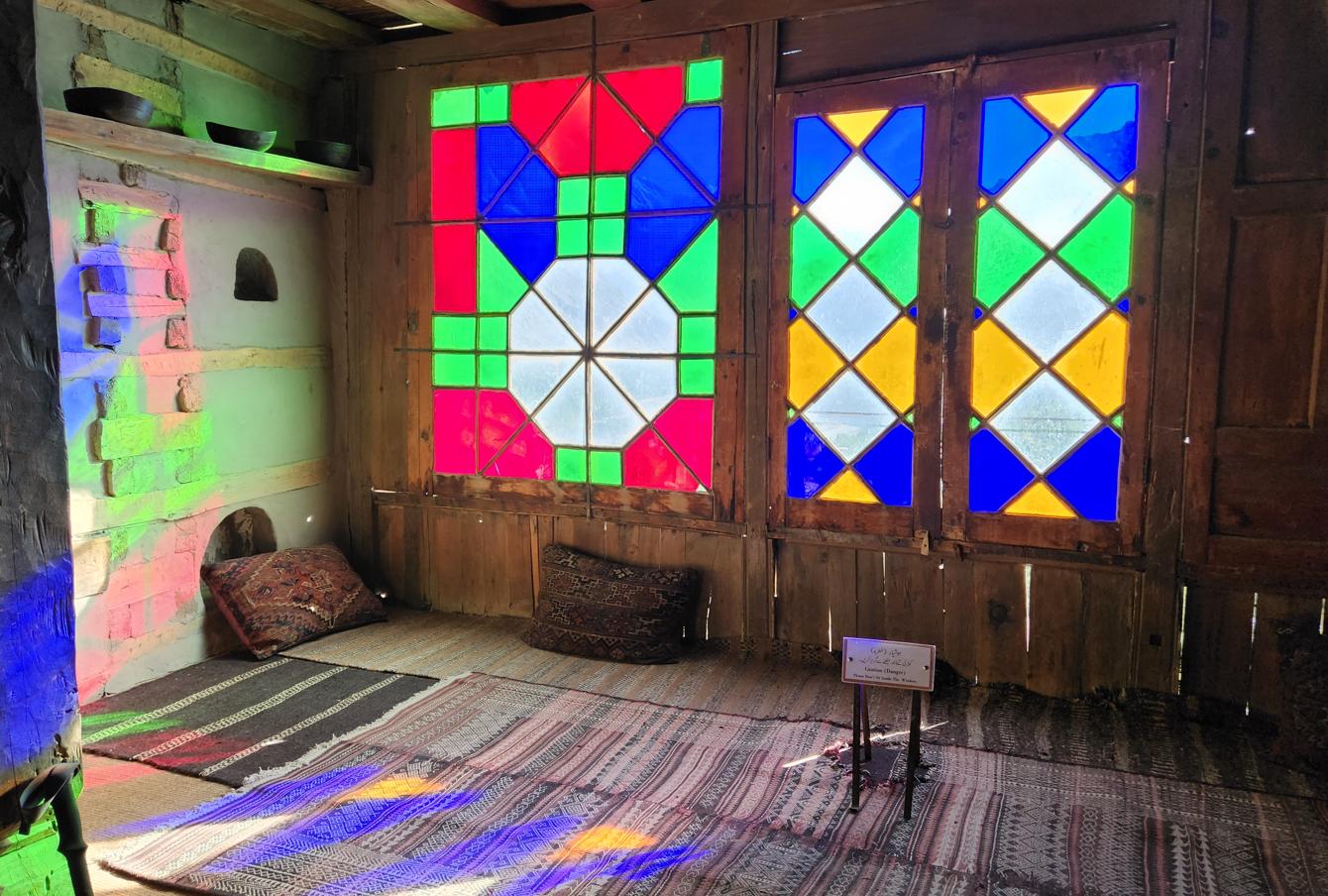
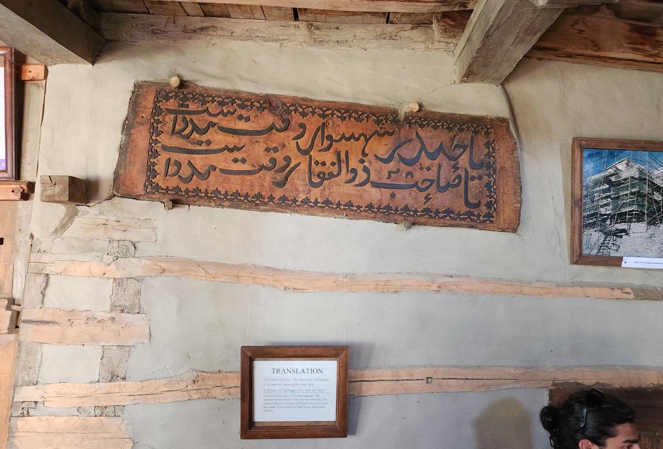
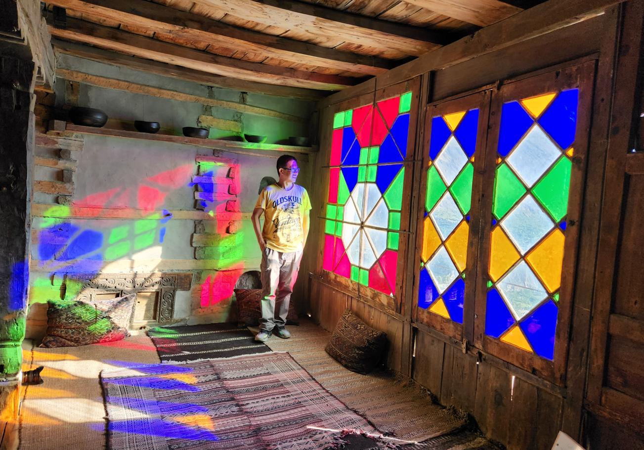
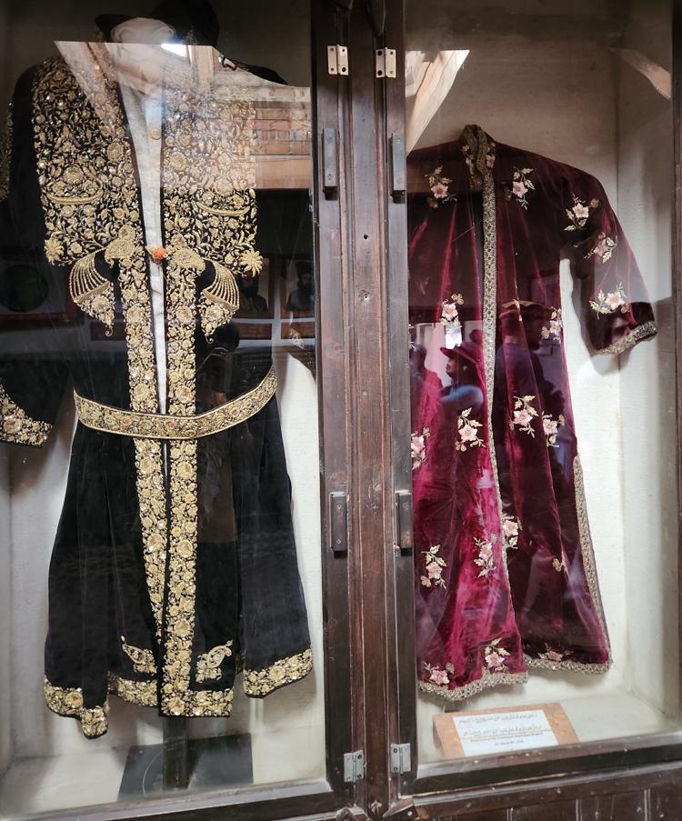
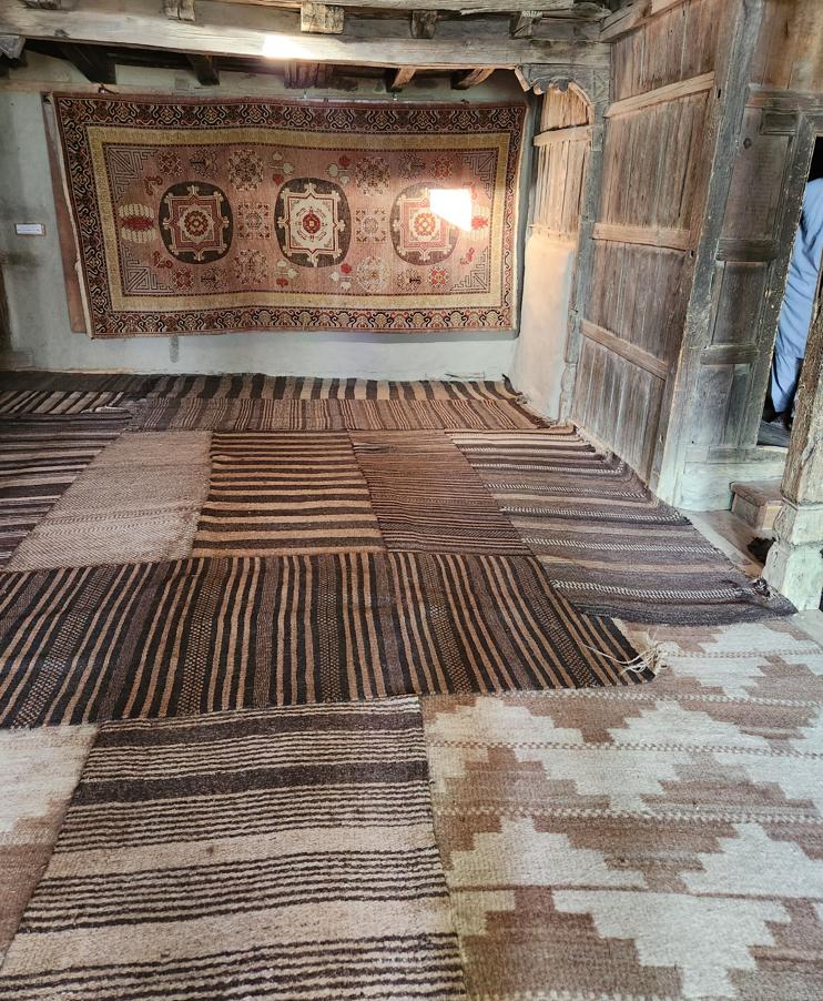
Inside, among the fort's restored rooms, a mounted Marco Polo sheep's head hung on one wall — huge spiralled horns unmistakable even to someone who had never seen the animal alive, a species named for the Venetian traveller who first described it wintering on the roof of the world seven centuries ago. Snow leopards, the sheep's principal predator and the other great animal of these mountains, are far more often spoken of than seen; both creatures belong to a shared high-altitude ecology that runs, largely indifferent to national borders, from Hunza through the Wakhan Corridor and into the Tajik and Afghan Pamirs. The trophy on the wall did not feel like simple decoration. Across this entire mountain belt, animals like the Marco Polo sheep carry a weight of meaning well beyond the practical — hunted, certainly, but also carved into rock faces and folded into folklore, part of the same half-animist reverence for wild mountain game that outlasts whichever monotheism eventually arrives to claim a valley, the ibex carvings at Haldeikish a few pages back being one example already encountered on this same road. I would meet the theme again, I already suspected standing beneath the mounted head, when I travelled into Tajikistan's Pamirs in May 2026 — Wakhi country on that side of the border too, and by every account just as attached to its wild sheep and its leopards as Hunza is to its own.
Our guide at the fort was a young man with an education in history and a talent for the kind of geopolitical nuance that would serve him well in a foreign ministry. He described Hunza's complicated position in the nineteenth century: simultaneously subject to the British-controlled Maharaja of Jammu and Kashmir, to the Qing Chinese government in Yarkand (to whom the Mirs paid a nominal annual tribute of gold dust), and to no one else in any practical sense. The tribute to China was worth approximately nothing in economic terms. In political terms, it was worth quite a lot: it gave Hunza the ability to say, when pressed, that it had acknowledged Chinese suzerainty, and this remained useful as the Great Game between Britain and Russia played out above and around it.
'And today?' I asked.
The guide's expression shifted. 'Today,' he said, 'China still says this territory is China's. On their maps, Hunza is part of Xinjiang.' I wrote it down, unconvinced even as I did it, telling myself I would need to check whether that was actually true.
Resolution of Sovereignty
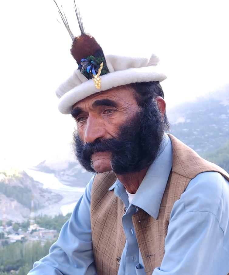
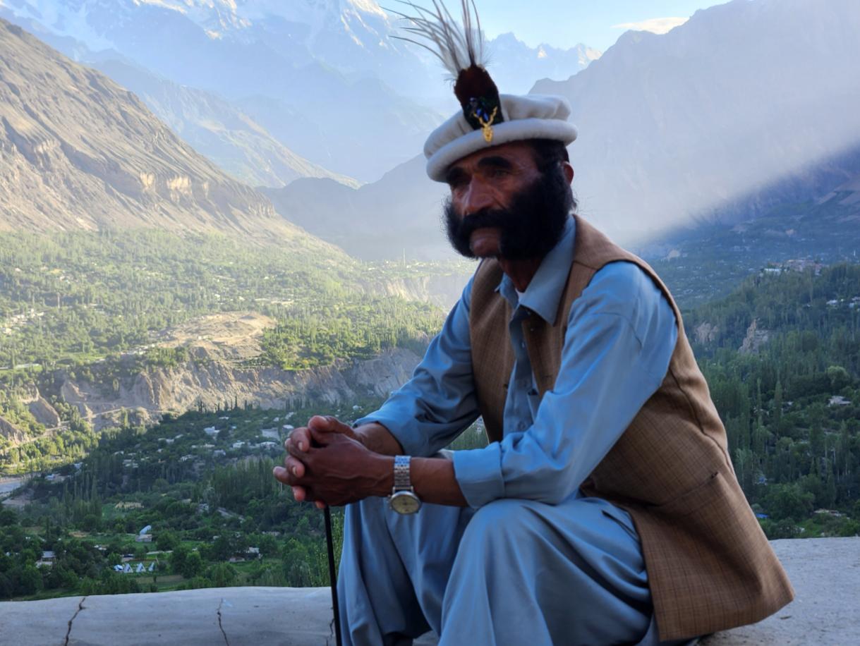
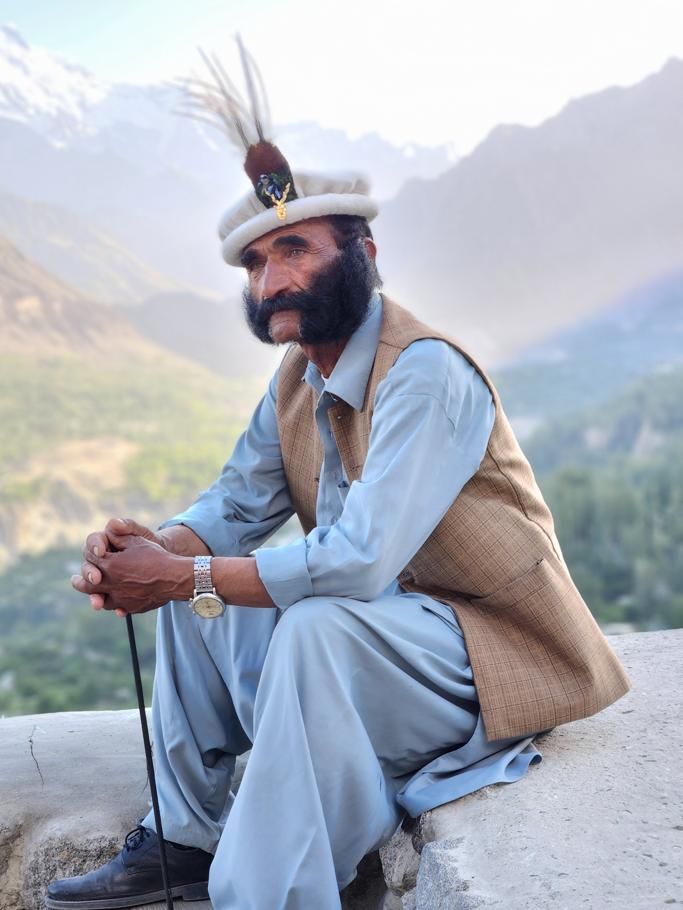
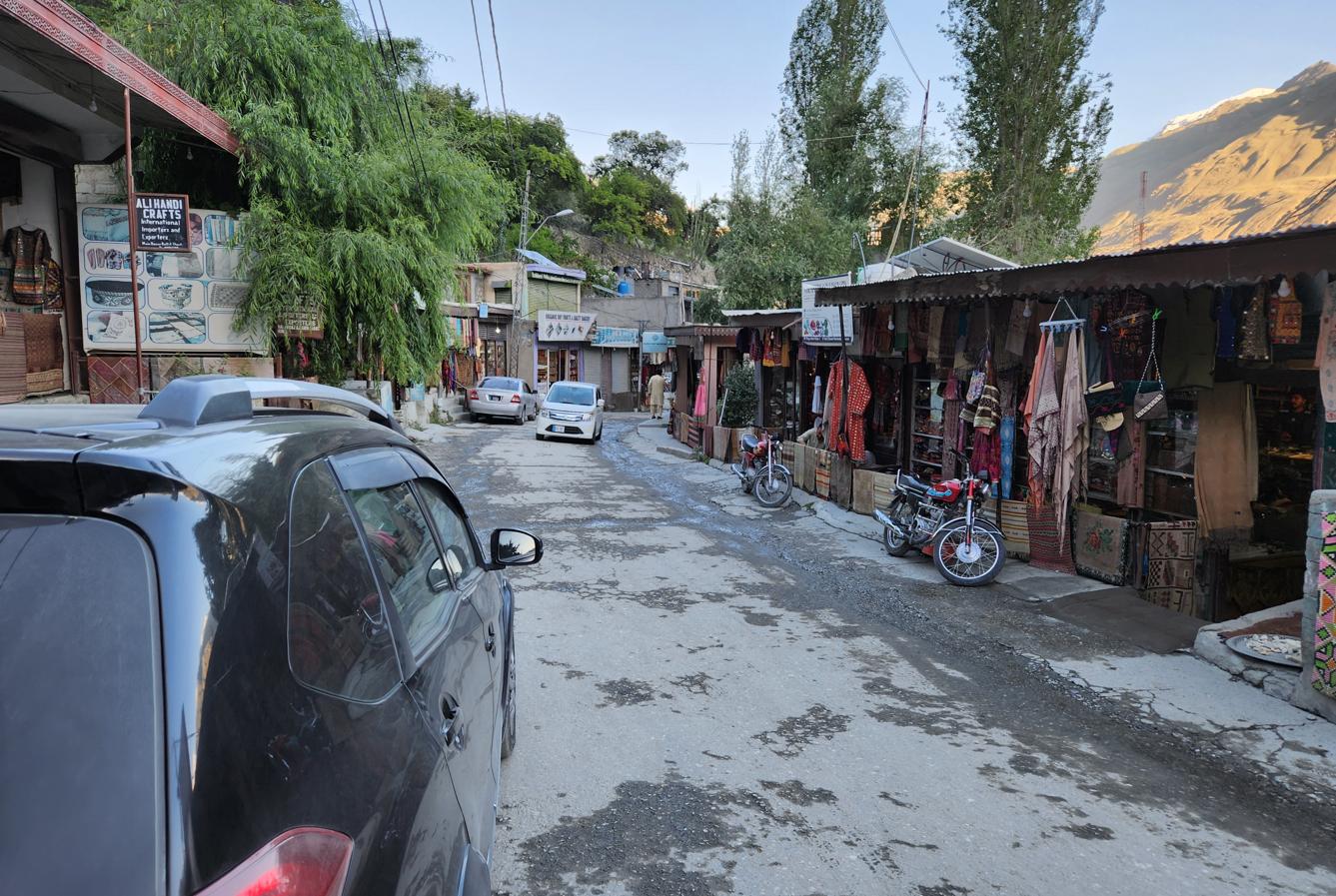
It was not. When I checked afterwards, the record turned out to be considerably tidier than the guide's Great Game nostalgia suggested. The People's Republic settled its western border with Pakistan by treaty in 1963, and in that agreement China formally relinquished any claim to Hunza in exchange for Pakistan ceding the Trans-Karakoram Tract — the Shaksgam Valley, a barren, unpopulated strip of high mountain terrain adjoining territory China already administered. On every current Chinese map, Hunza sits inside Pakistan, and no live territorial dispute exists between the two governments over it; China and Pakistan, unusually for this part of the world, have no unresolved border at all. What the guide had actually inherited, I suspect, was not a political claim so much as folk memory of the old Qing-era tribute relationship, retold with enough conviction across enough generations that it had hardened, somewhere along the way, into a fact that was no longer true but had never stopped feeling true. The CPEC runs through Gilgit-Baltistan all the same. Chinese workers live here. Chinese money has built the road beneath our feet. But the tribute of gold dust that once bought Hunza a nominal Chinese patron has no living political heir — only, perhaps, an economic one, in the loans and construction contracts that now flow in the opposite direction.
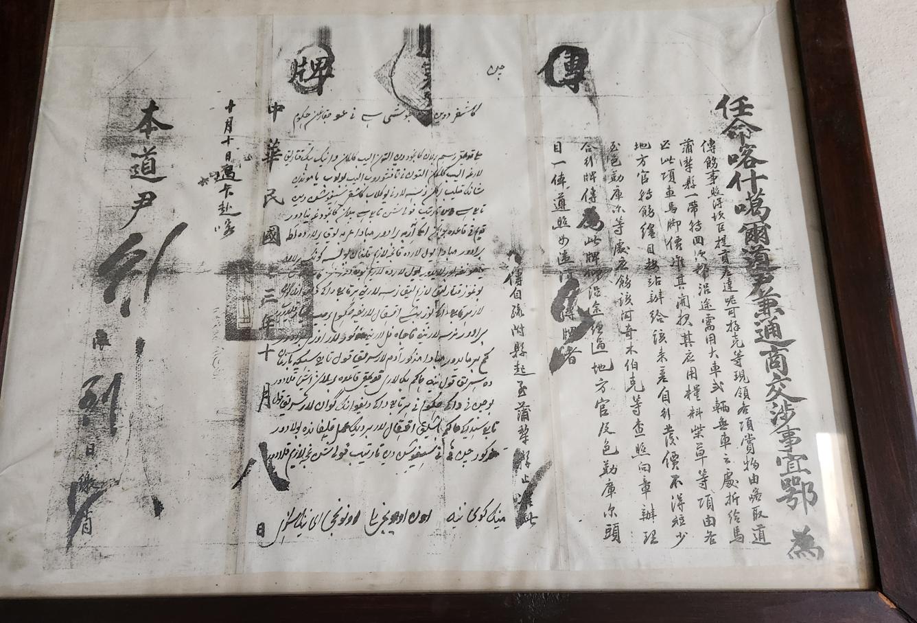
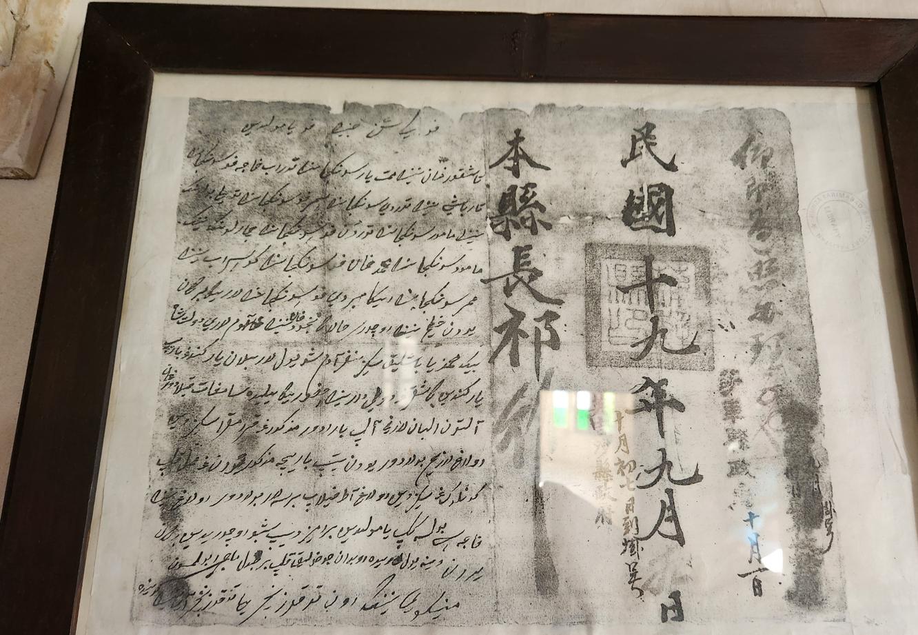
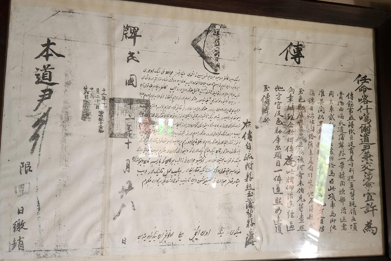
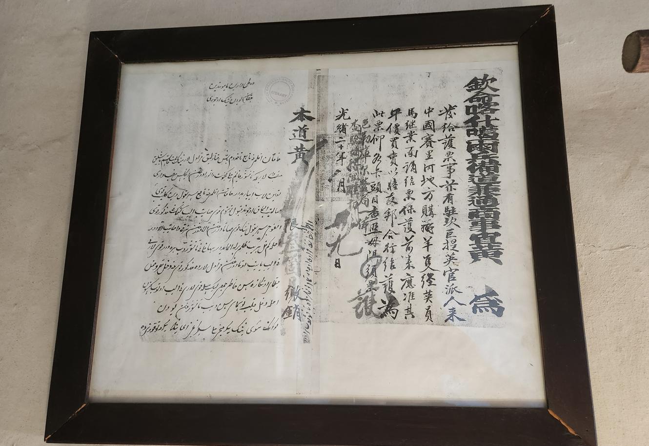
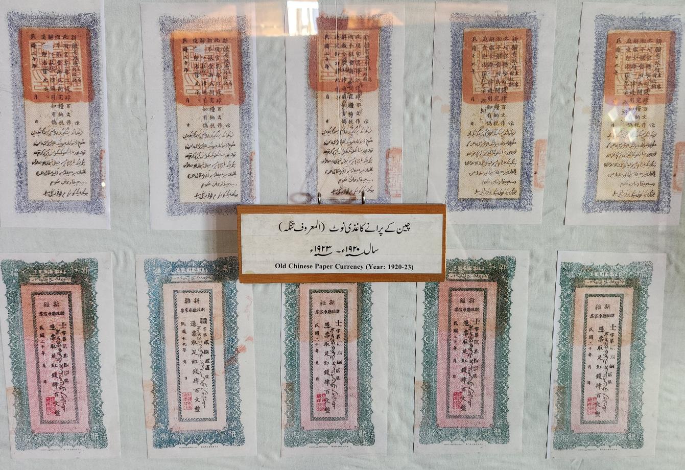
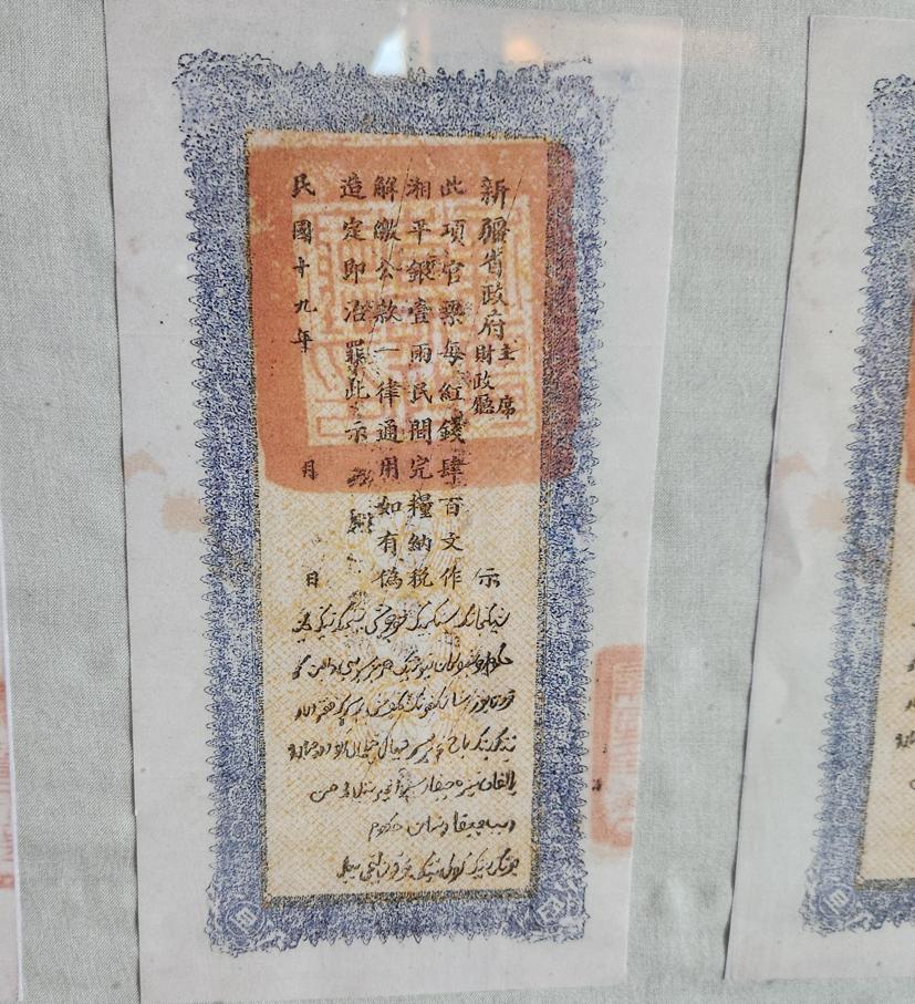
The fort's small museum, tucked into its lower rooms, held more of this cross-border history than I expected. Display cases contained a set of old official passes issued by the Chinese Daotai of Kashgar — literally the "Circuit Intendant," the governor of a dao or "circuit," the administrative tier the late Qing and early Republican state used to group several counties under a single official — bilingual documents, Chinese characters running down one side and a Perso-Arabic script down the other, spanning the late Qing dynasty through the early Republic, the kind of paperwork that once regulated who and what could move along the trade routes linking Hunza to Xinjiang. Beside them sat a small stack of old Chinese banknotes issued in Xinjiang province in the early 1920s, evidence of just how far that economic relationship had once reached into everyday transactions.
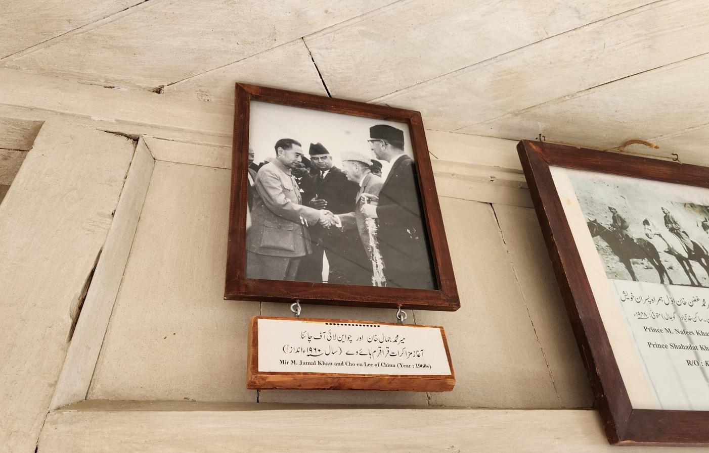
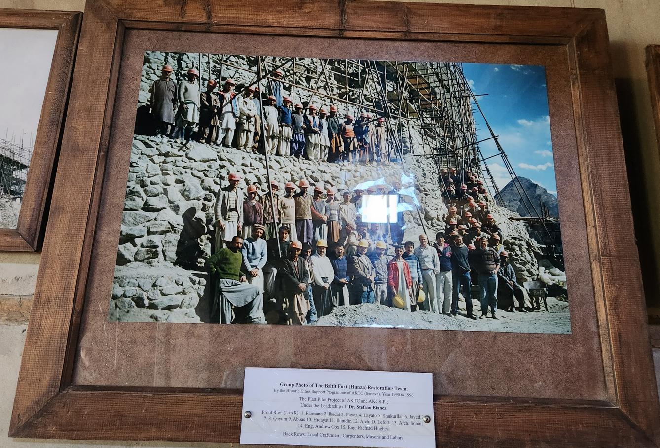
And on a nearby wall, in the kind of grainy black-and-white photograph that could easily be mistaken for mere decoration, was the missing piece of the story I had just been told at the gate: Mir Muhammad Jamal Khan — the same Mir who would later order the Hussaini Bridge moved to its present site in 1968 — shaking hands with Zhou Enlai, captioned simply "Year: 1960s." It was, unmistakably, a photograph from the boundary negotiations that produced the 1963 agreement, the very treaty that had quietly closed the territorial question our guide's remark had reopened for me a few minutes earlier. The fort itself, incidentally, owes its good condition today to a later and gentler kind of foreign involvement: a full restoration carried out between 1990 and 1996 by the Aga Khan Trust for Culture under the architect Stefano Bianca, employing local masons and carpenters alongside a small international team — a group photograph of them, hard hats and scaffolding, hangs a little further along the same corridor.
Haldeikish: The Sacred Rocks of a Thousand Travellers
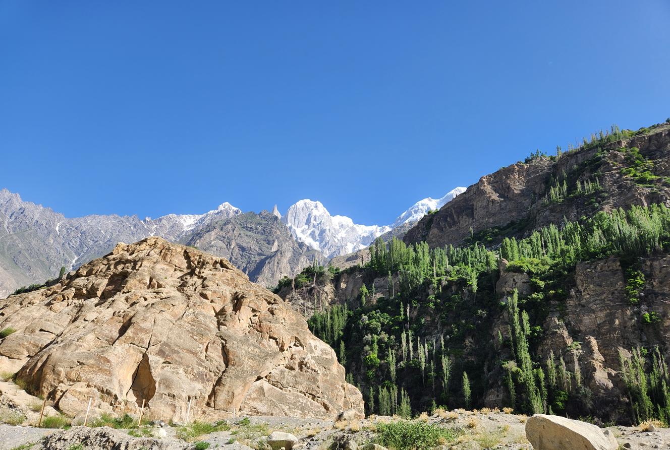
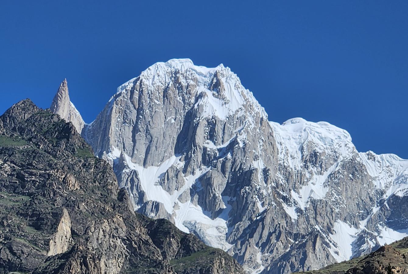

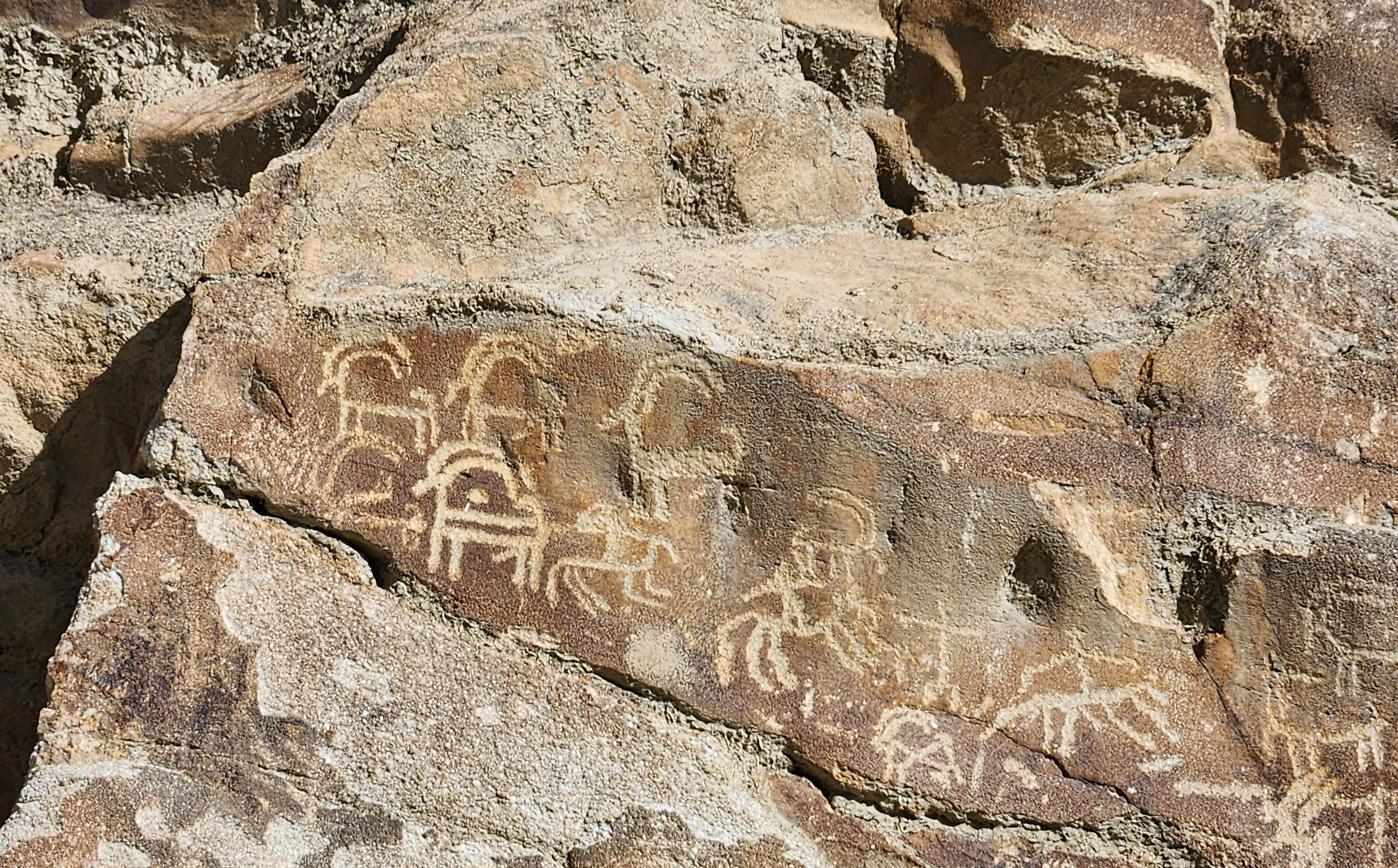
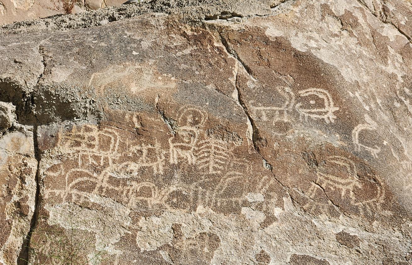
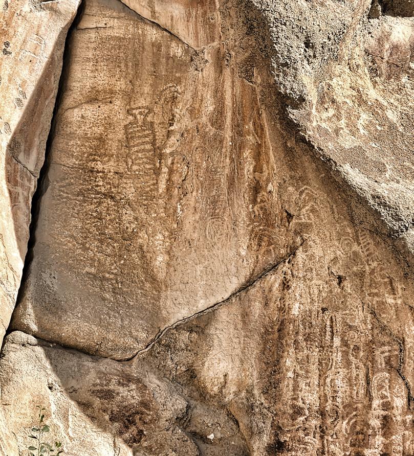
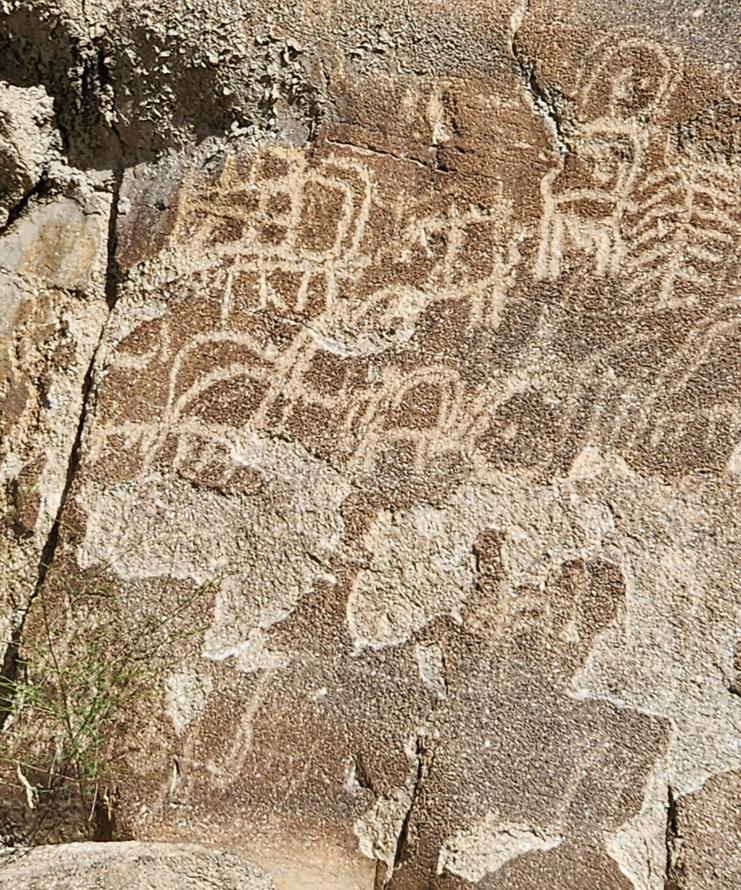
Somewhere between Baltit Fort and Attabad, on a low outcrop wedged between the Hunza River and the highway, stands a rock face known as Haldeikish — "the place of many male ibex" — though the name undersells what is actually carved there. The lower portion is covered in ibex: hunted, grazing, accompanied in several panels by horned human figures interacting with them in ways no modern viewer can fully interpret, evidence of an animal that mattered to this valley's people long before Buddhism or Islam gave them anything else to believe in.
The upper rock — which, to my lasting regret, we did not climb up to see, a piece of homework I should have done before arriving rather than after — carries something rarer: inscriptions in Sogdian, Kharoshthi, Brahmi, Sharada, and scripts now wholly extinct, left by travellers moving along this branch of the Silk Road across the first millennium CE. The names of the Kushan emperors Kanishka and Huvishka appear among them, alongside a Turkic king named Ramadusa, carved presumably by members of their retinues or by merchants invoking royal protection on a dangerous crossing. One Sanskrit inscription records the passage of Chandragupta II Vikramaditya of the Gupta Empire in 419 CE — the same emperor whose court, more than a thousand kilometres to the south, Faxian was visiting at almost exactly this date, before the Chinese pilgrim continued on to the Gandharan monasteries I would visit later in this book.
I put my hand flat against the rock for a moment — an entirely unscientific gesture, the kind of thing a person does at a site like this rather than anything a person is actually supposed to do — and thought about how many hands, speaking how many languages no longer spoken by anyone, had rested on the same stone on their way to somewhere else. Merchants, monks, soldiers, envoys, all of them funnelled through this one narrow gap between the river and the mountain because there was, in the end, no other way through. Haldeikish does not explain itself, any more than the seals of Harappa or Mohenjo-daro do. But unlike those, it does not need to: it simply lists, in a dozen dead scripts, everyone who ever stood exactly where I was standing, and lets the accumulated weight of their names make the argument that words in any single language could not.
Khunjerab Pass: The Roof of the World
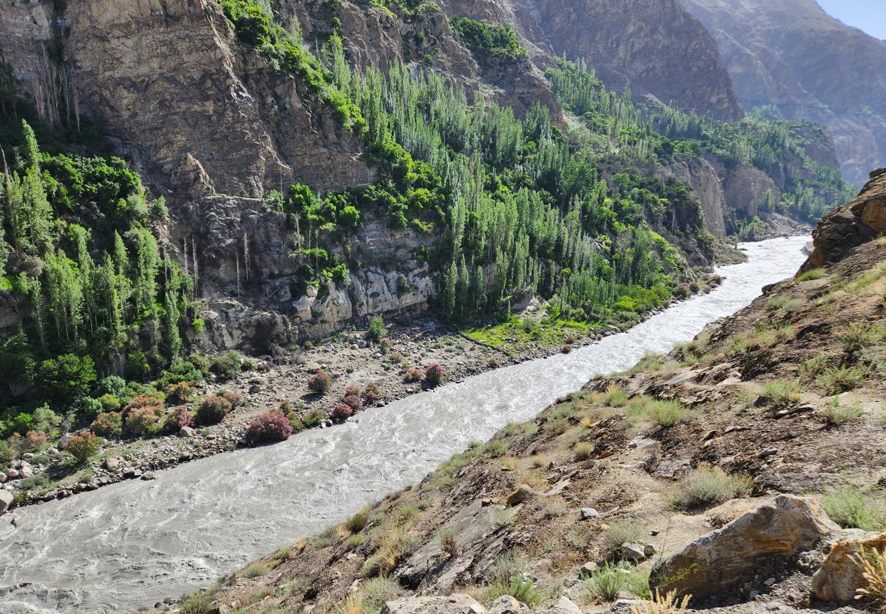
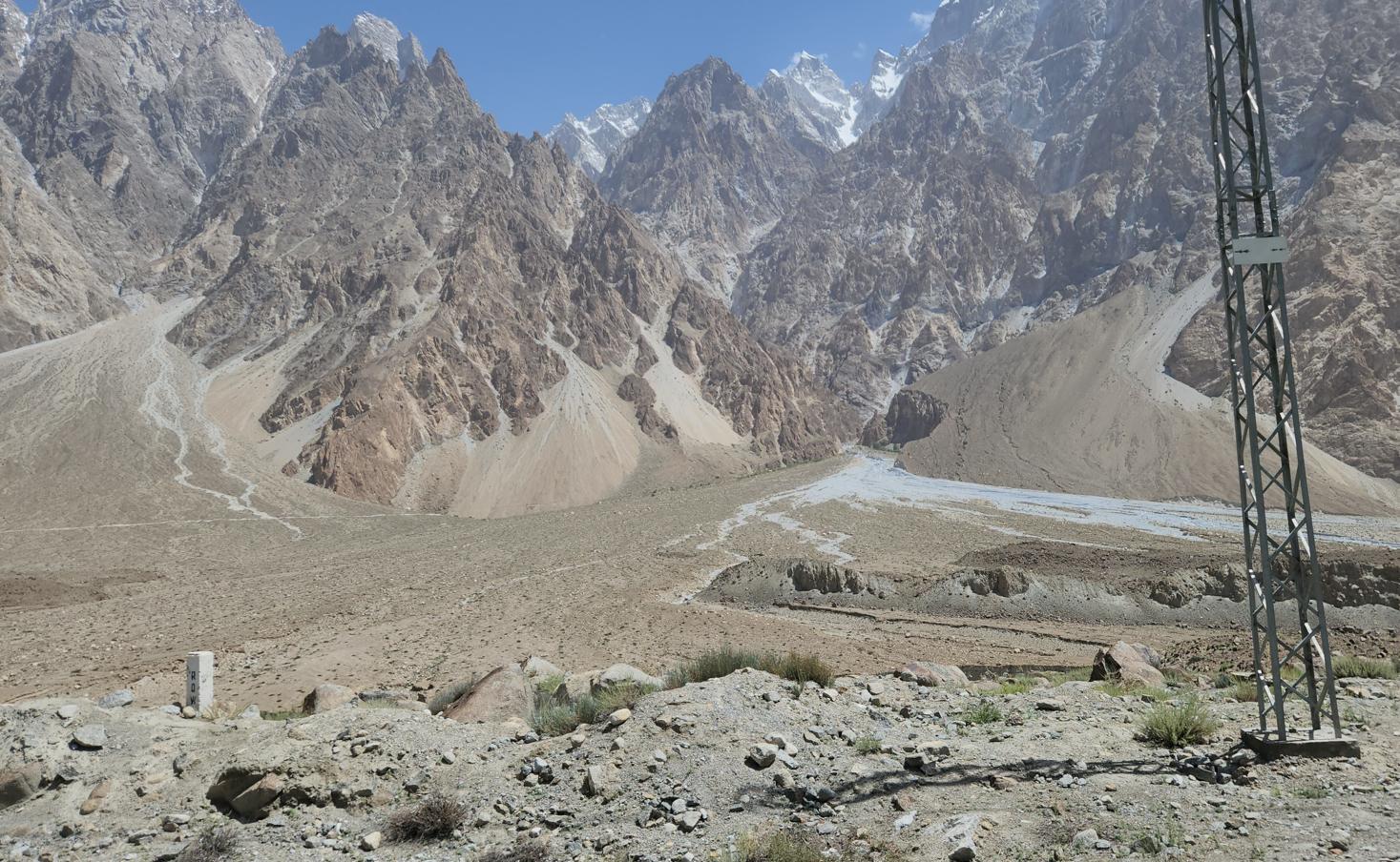
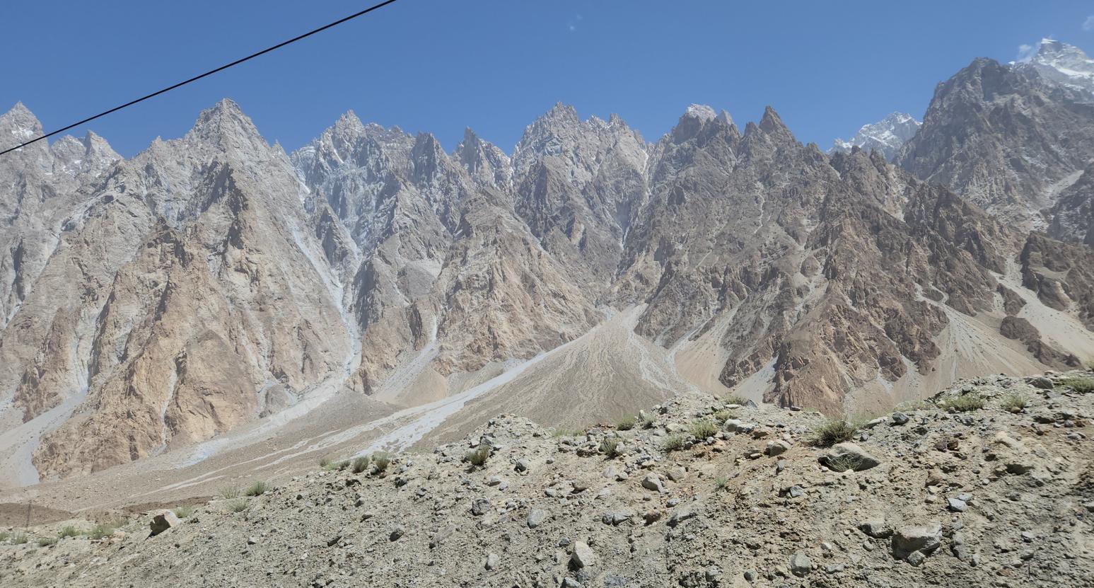
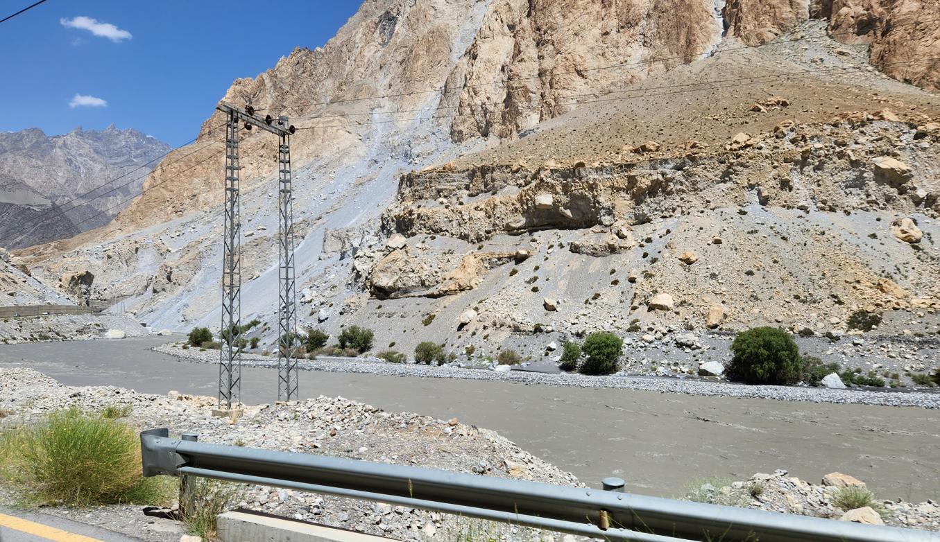
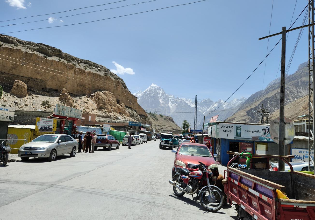
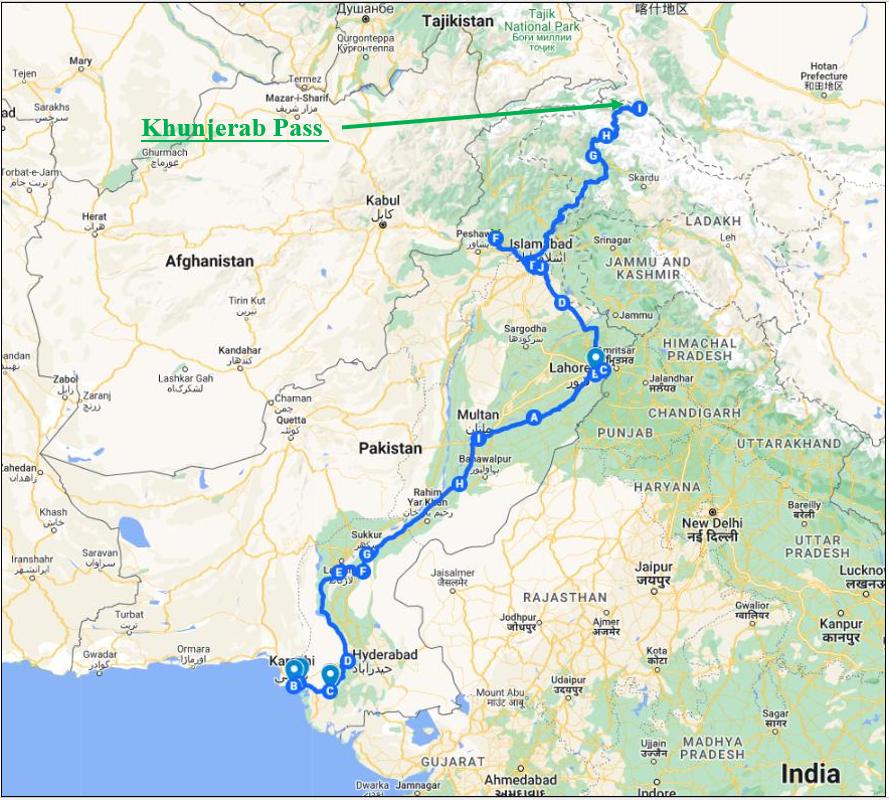
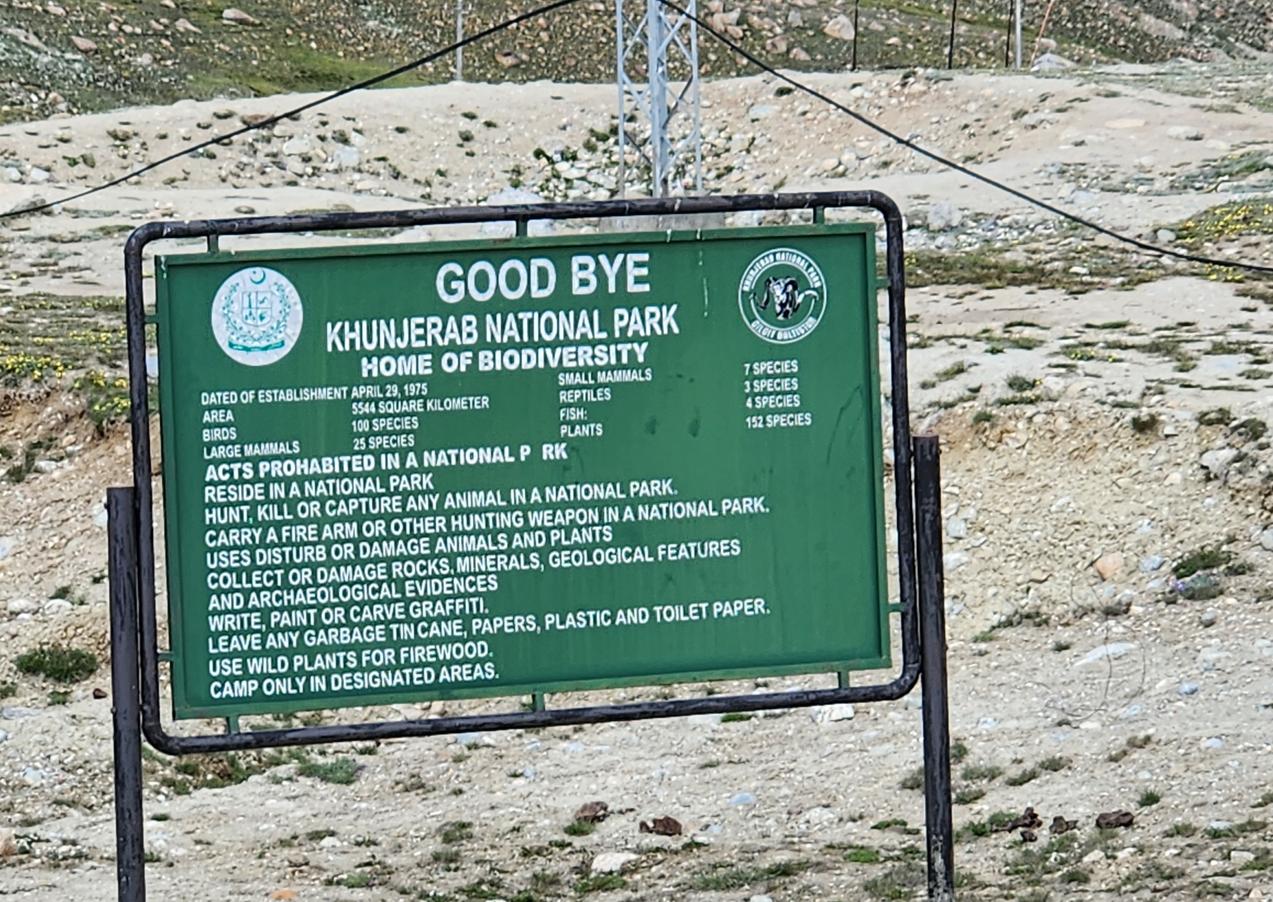
The Khunjerab Pass, at 4,693 metres, is the highest paved international border crossing in the world. Its name is Wakhi: khun means blood, jerab means a stream from a spring. Blood Stream Pass. The name is said to refer to the redness of the rock, though its sound carries other implications.
Wakhi belongs to the Pamiri branch of the Eastern Iranian language family, spoken by scattered communities across the high valleys where Pakistan, Afghanistan, Tajikistan, and China now meet — in the Wakhan Corridor that gives the language its name, in Pakistan's own Gojal region just behind us, and in a handful of counties on the Chinese side of this very border. It is the kind of small, resilient mountain language that borders were drawn across rather than around: perhaps sixty thousand speakers in total, none of whom recognise the modern national lines running through the middle of their linguistic community. I would not, standing at the pass that afternoon, have guessed that three years later I would be listening to Wakhi again, spoken this time by farmers, herders and small townsfolk in the Tajik Pamirs on the far side of the same scattered corridor.
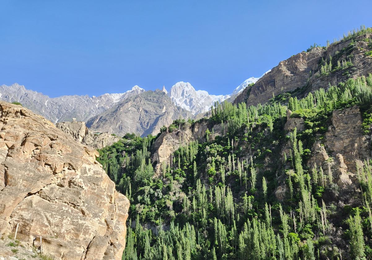
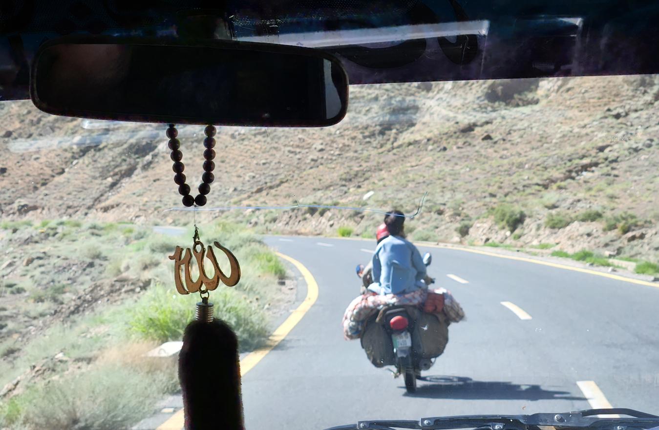
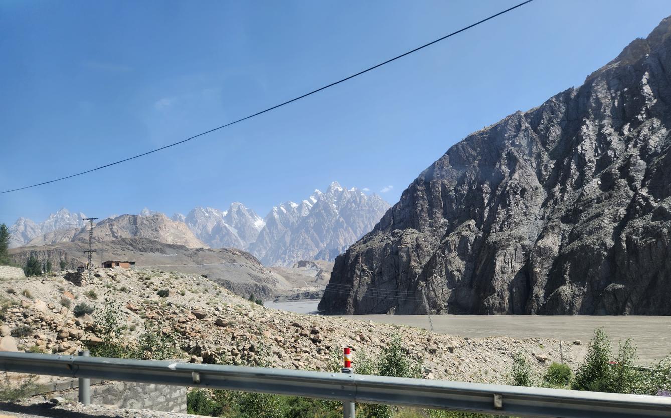
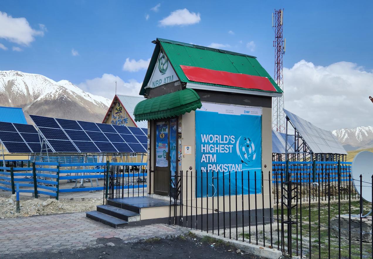
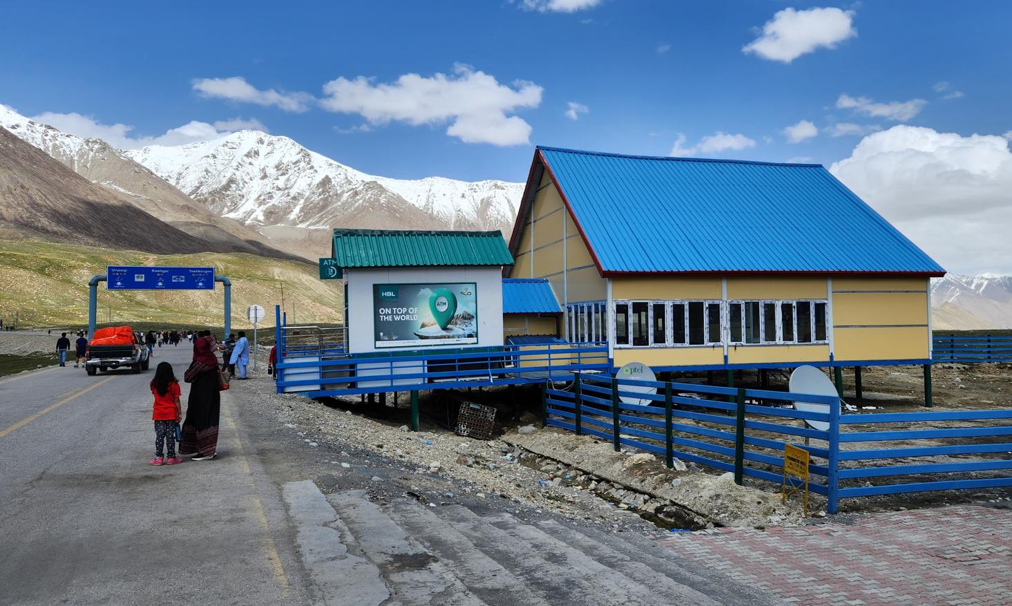
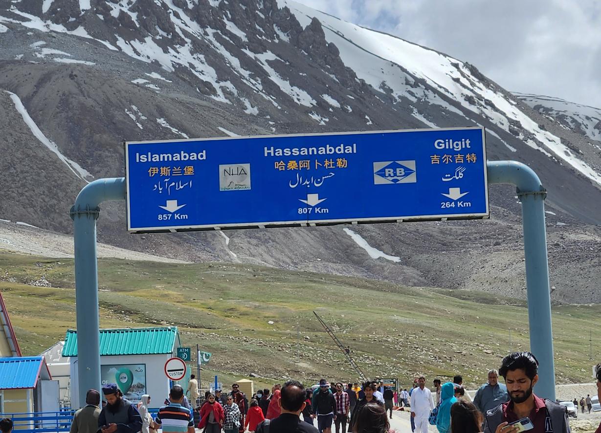
We drove to it from Karimabad in the morning, through a landscape that progressively simplified itself — the trees thinning, the grass shortening, the colours draining from the riot of the Hunza Valley into a palette of grey rock and white snow and the specific acid blue of high-altitude sky. Near the pass, the road crosses yak pastures where herds of yaks moved with the slowness of animals that have learned not to hurry at altitude. A sign for the world's highest ATM — National Bank of Pakistan — appeared at the roadside with the cheerful incongruity of the modern world inserting itself into geology.
Cross-Border Flow
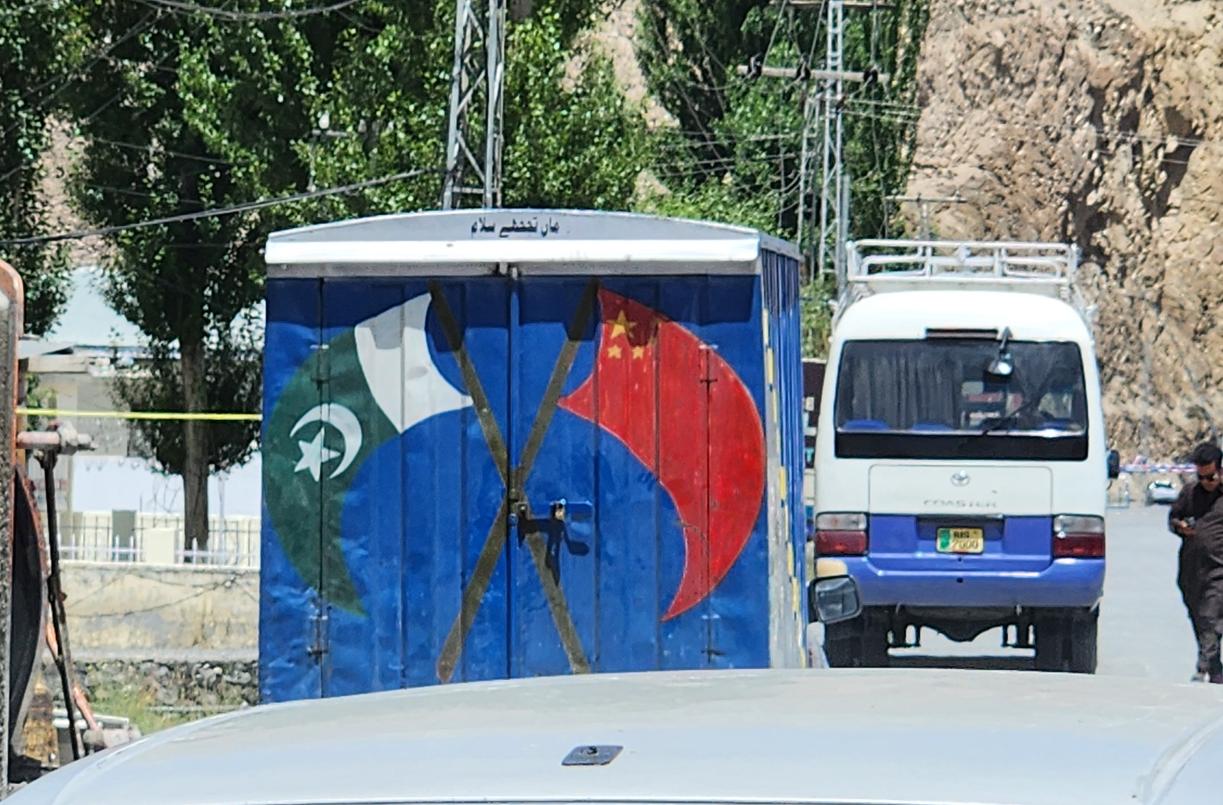
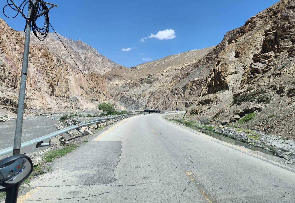
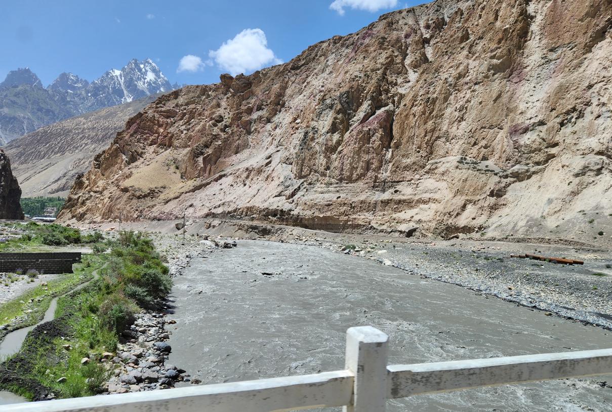
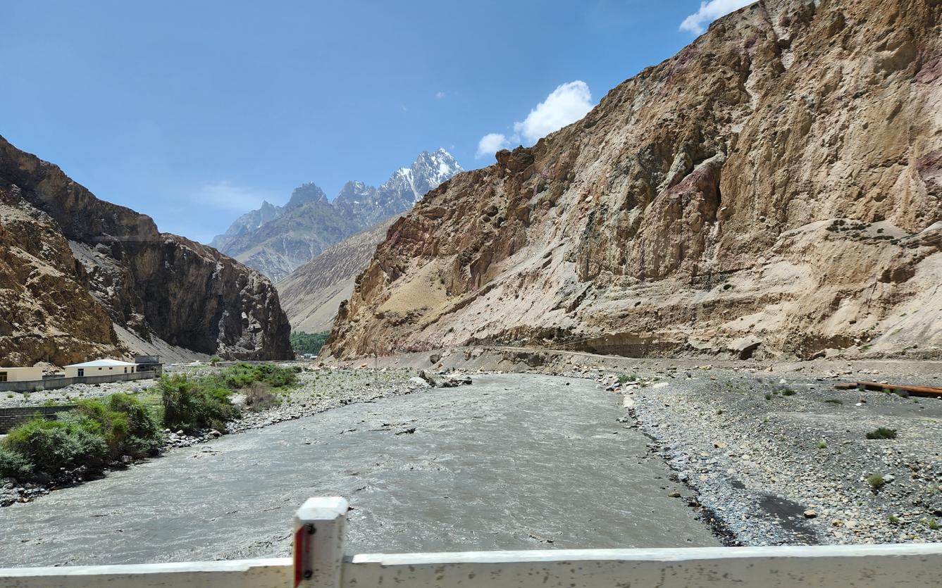
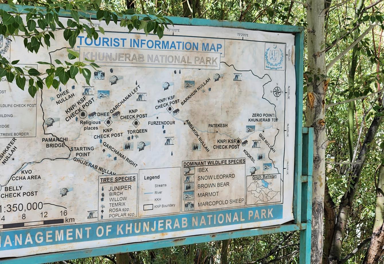
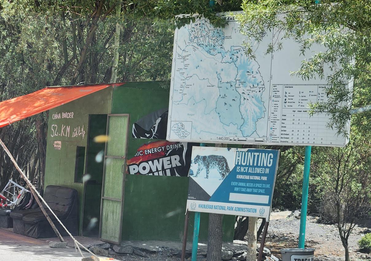
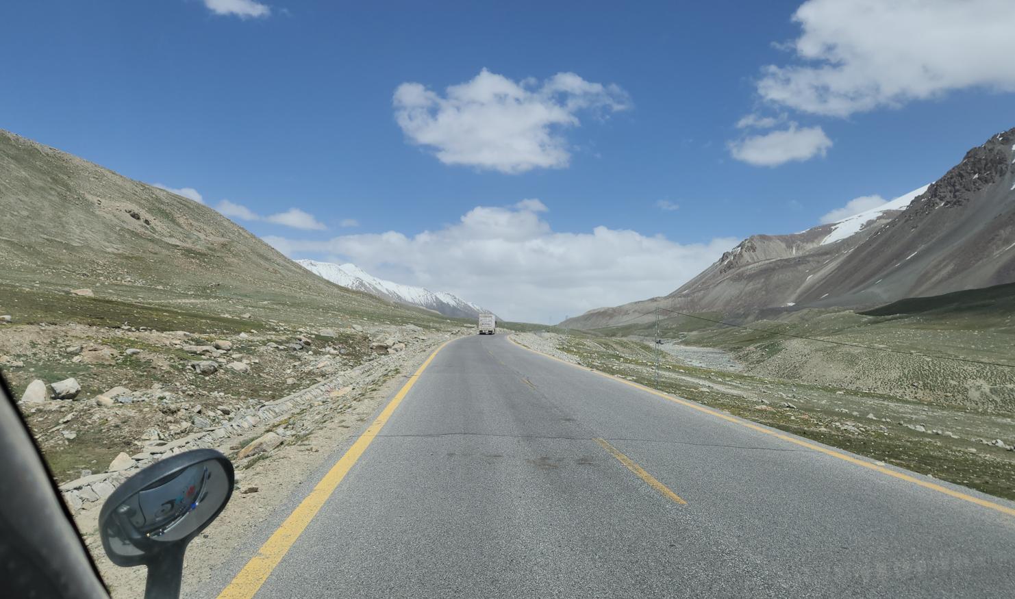
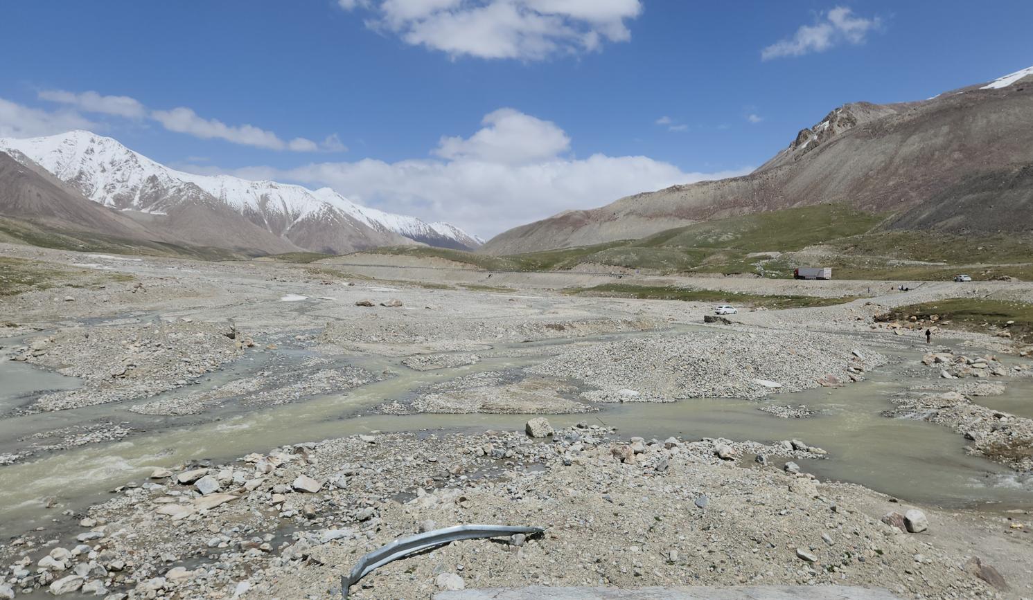
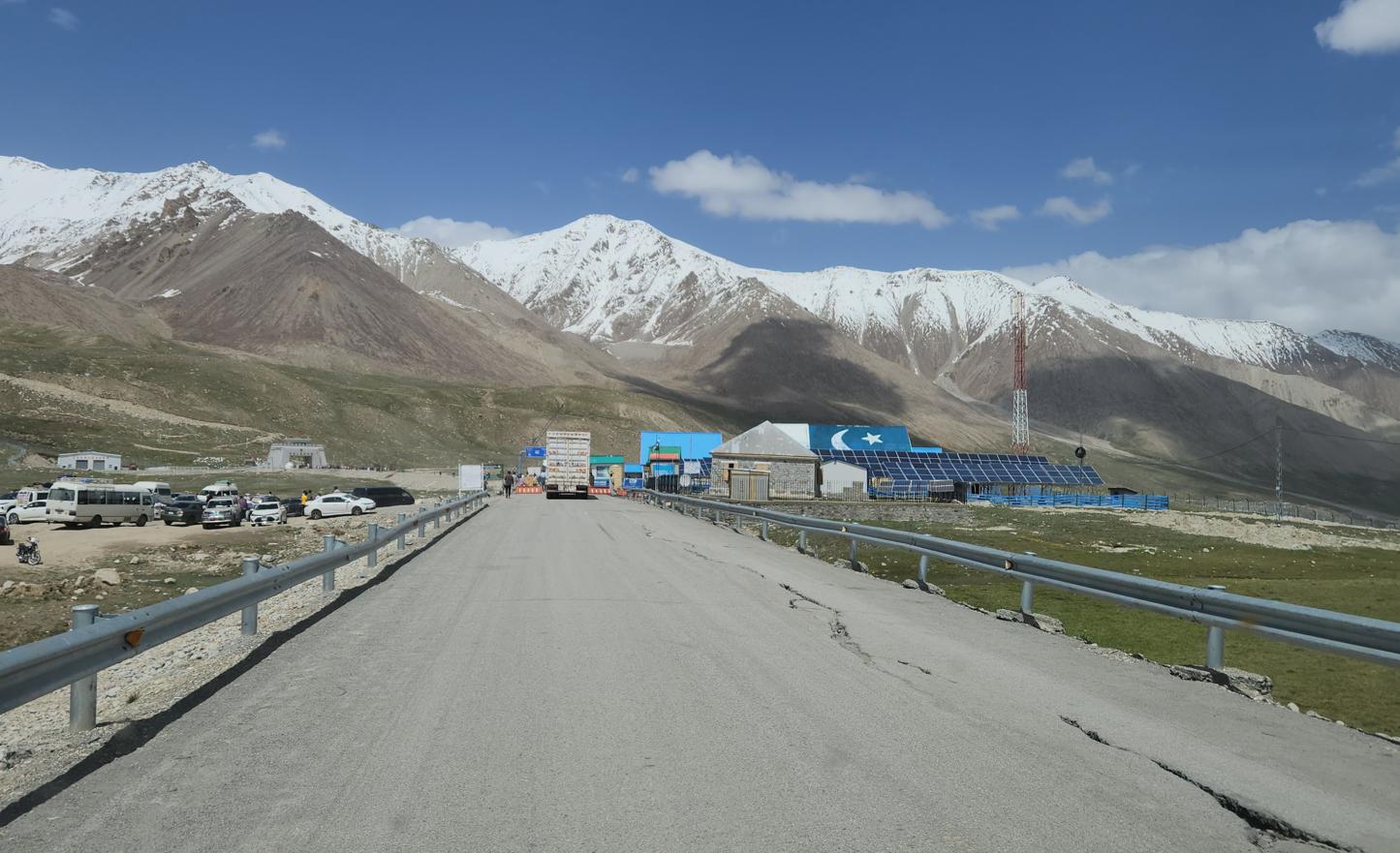
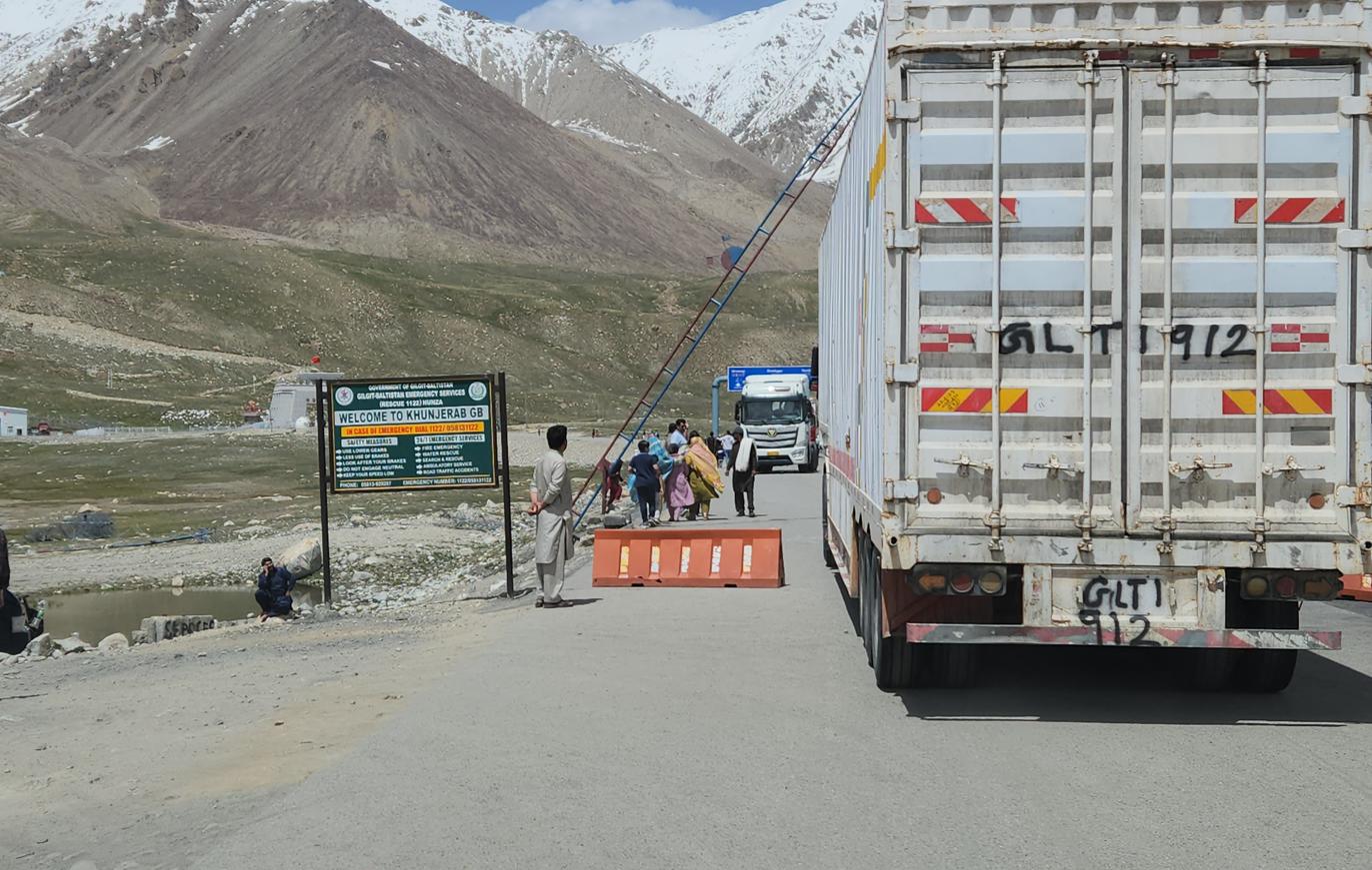
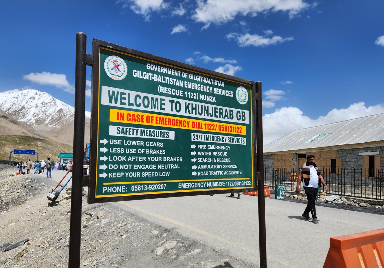
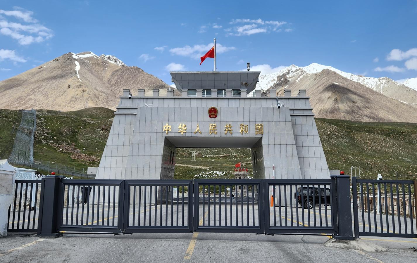
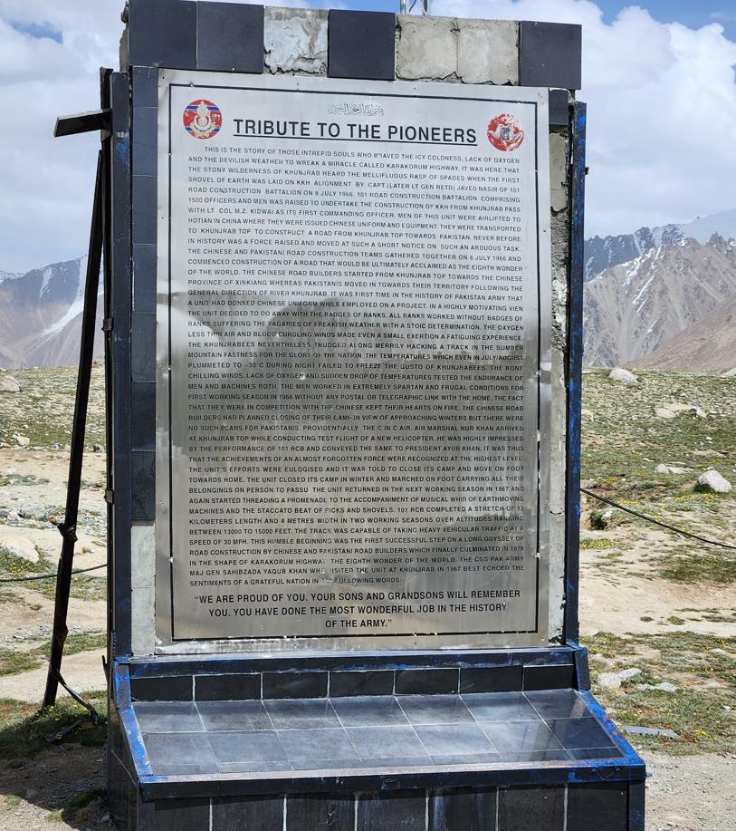
At the border, Pakistani tourists were taking photographs beside a large sign that said KHUNJERAB PASS — PAKISTAN-CHINA BORDER. School holidays, Wassim said, and the crowd bore him out: minibuses of families from Lahore and Karachi, as far from home as it is possible to get within Pakistan's own borders, posing beneath the sign the way people pose at the edge of anything that feels like the edge of the world. What struck me, coming from a country where every crossing is a matter of container ports and customs software, was how modest the physical border itself looked — a handful of trucks queued at the barrier, a few tourist vehicles, nothing that visually announced itself as one of the more consequential trade arteries between two nuclear-armed states.
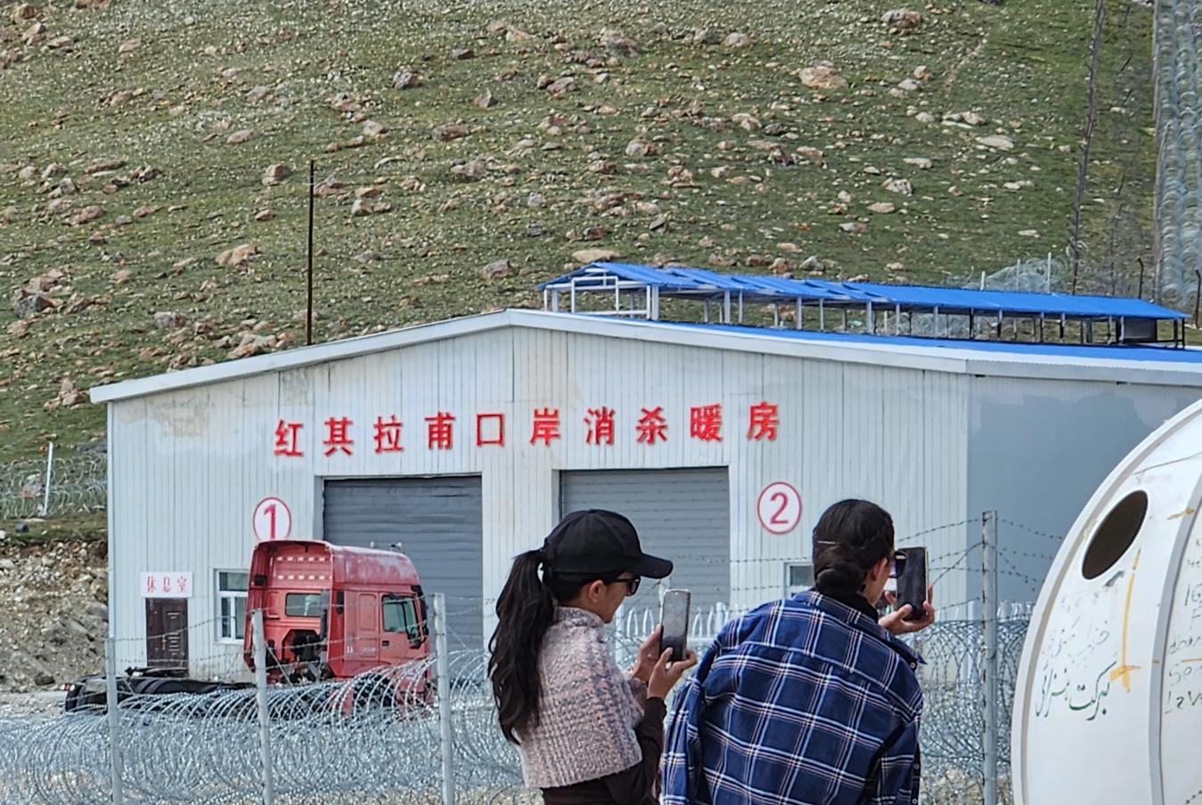
The impression was misleading, and it took me some later reading to understand why. Neither country actually processes immigration or customs at Khunjerab itself — the border here is a line on a map and a gate, nothing more. Pakistani formalities are handled seventy-five kilometres south, in Sost; Chinese formalities a further hundred and twenty kilometres north, in Tashkurgan, which means that for both governments, clearing a person or a truckload of goods takes place the better part of two hours' drive from the actual frontier. Once that displaced bureaucracy is accounted for, the real volume becomes clear: thousands of vehicles and tens of thousands of tonnes of goods move through this pass each year, textiles and agricultural produce and daily commodities travelling in both directions, a corridor that under CPEC has become genuinely competitive with sea freight on certain routes, Karachi to Kashgar chief among them. Most trade between the two countries still moves by sea, which remains cheaper for bulk cargo; what crosses at Khunjerab is the portion for which speed, not price, is the deciding factor.
Nor was the road's importance ever only economic. The geopolitical purpose I had already been turning over on the drive here — a strategic lifeline for China that bypasses the Strait of Malacca and the Indian Ocean, a guarantee of access to the Arabian Sea that would not run through waters an unfriendly navy could close — sits alongside the commercial case rather than beneath it. Khunjerab is trade route, insurance policy, and political statement all at once, and the modest sign, the single barrier, and the short queue of trucks understate all three.
A Warmth Against the Mountains
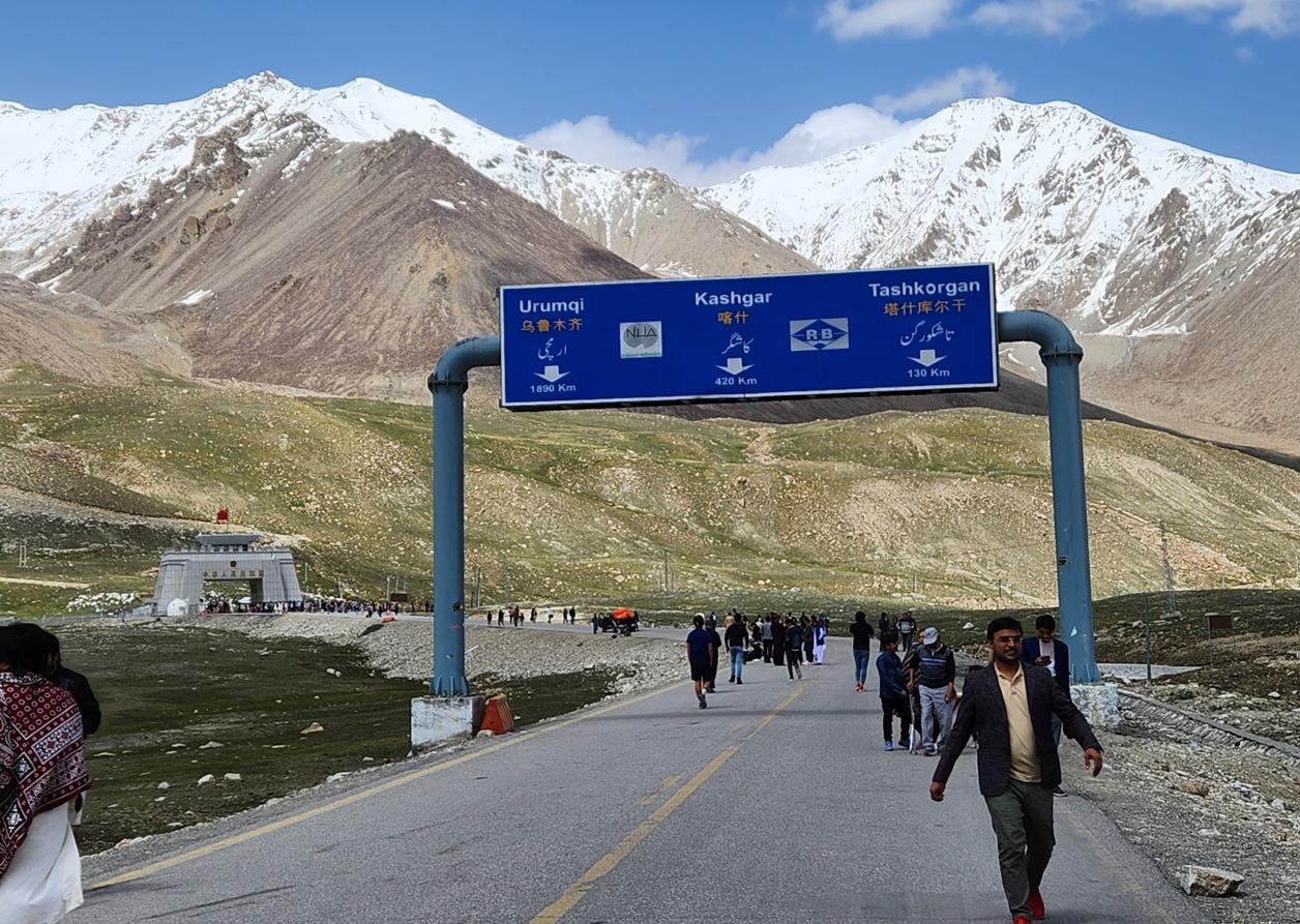
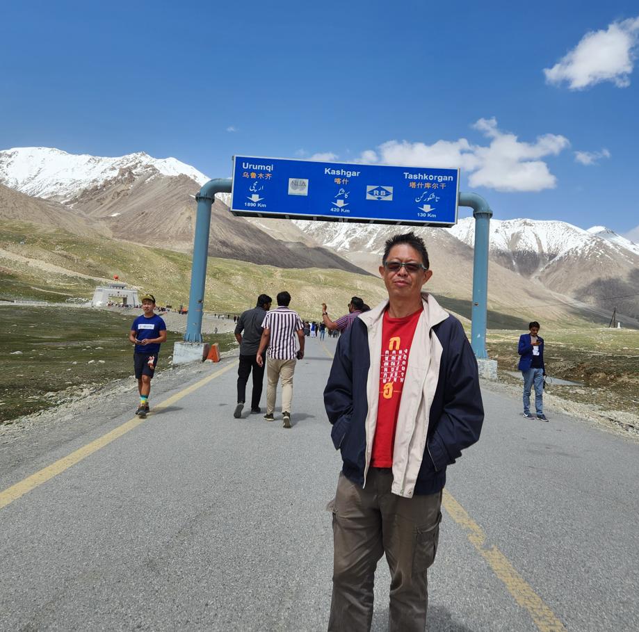
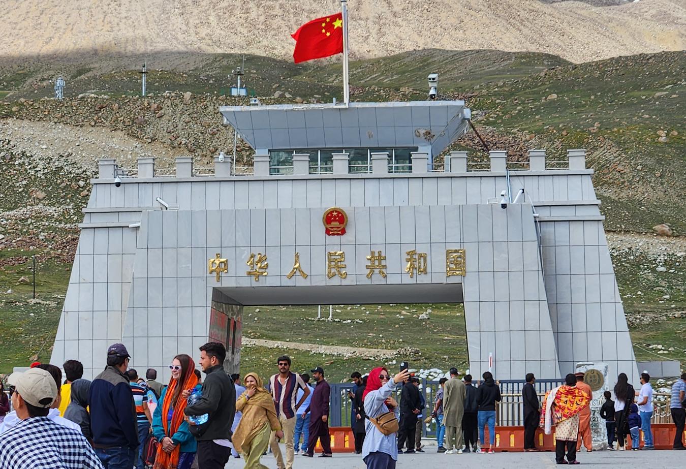
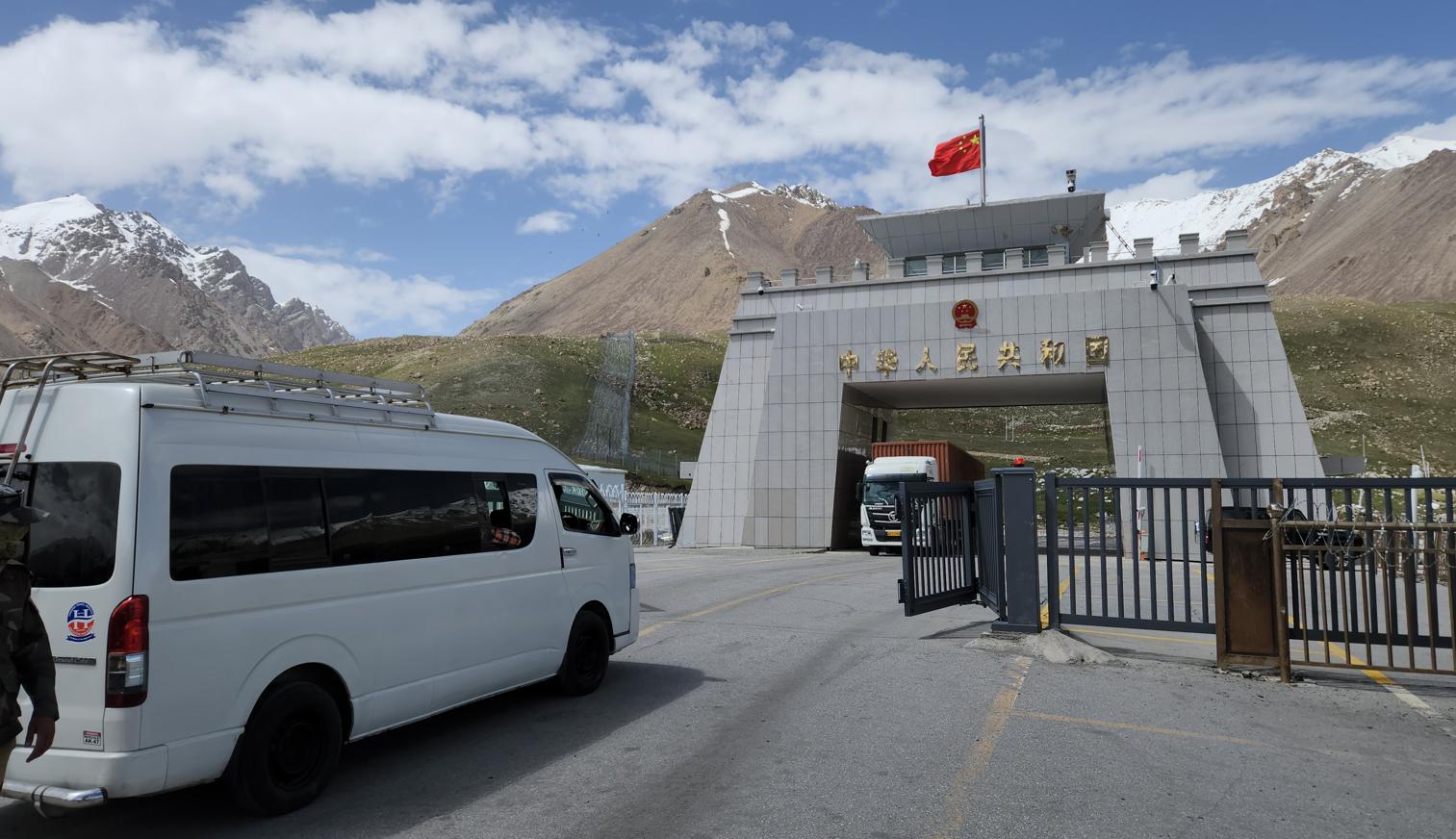
Standing at the barrier with our unmistakably Chinese faces, we found ourselves minor celebrities among the Pakistani day-trippers, several of whom asked, with evident pleasure rather than suspicion, to have their photograph taken with us — as though our presence at the westernmost, northernmost edge of their country's reach was itself a small, unsolicited endorsement of the friendship the road exists to declare.
On the Pakistani side, standing at the border at 4,693 metres with the Hindu Kush behind me and China before me, I thought about what Pakistan occupies in the world's geopolitical imagination in 2023: a country wedged between the ambitions of great powers, simultaneously courted and exploited, its sovereignty real in some dimensions and theoretical in others. The United States, which spent twenty years and trillions of dollars in the country's neighbourhood – Afghanistan’s Wakhan Corridor is merely eighty kilometres away - and left having achieved little of permanent value, had largely withdrawn its economic engagement. India, the nuclear rival next door, was actively hostile. China was building roads and saying almost nothing. Afghanistan, to the northwest, was under Taliban control and exporting nothing but refugees and instability.
Pakistan, in this landscape, was doing what it has always done: surviving, adapting, selling its strategic position to whoever would pay most for it, and maintaining, against considerable odds, a society of remarkable warmth and a culture of extraordinary depth.
A Note on Process
The travelogue on this site are based on my own journeys, photographs, Facebook posts, and field notes. I work with Claude (Anthropic's AI assistant) as a drafting and editorial partner — giving it my raw material and working iteratively to shape it into finished prose. The AI helps me draft quickly, maintain a consistent voice across long narratives, and edit at the document level. The website's HTML and coding are built with the assistance of Gemini (Google). Audio versions of the essays are produced using NotebookLM (Google). Every observation, opinion, and conclusion in the written work is mine. The AI tools are the instruments; I am the author.