The Indus, the Dolphins,
and the Road to Punjab
On the River
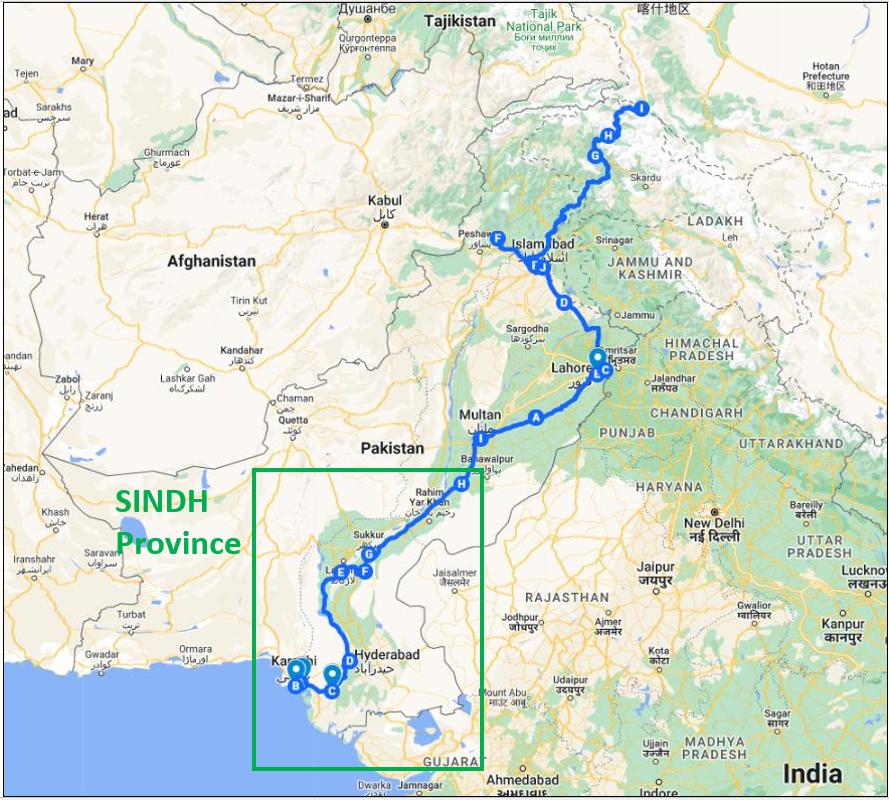
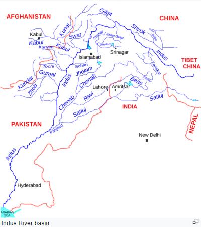
The Indus river dolphin — bhulan in Urdu — is one of the most endangered cetaceans on earth. There are fewer than two thousand of them left, distributed in five isolated populations between the barrages and dams that have carved the Indus into separate ponds. They swim on their sides, navigating by echolocation through the brown opaque water, and they are almost impossible to see: a grey curve breaking the surface for half a second and then gone, leaving only a ripple and the sound of exhalation.
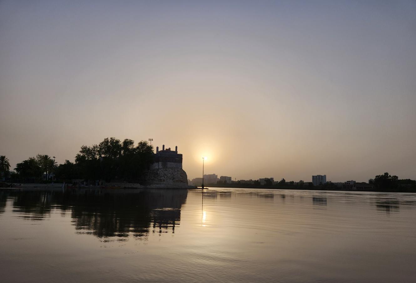
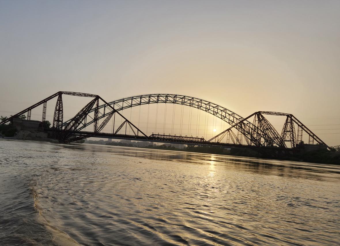
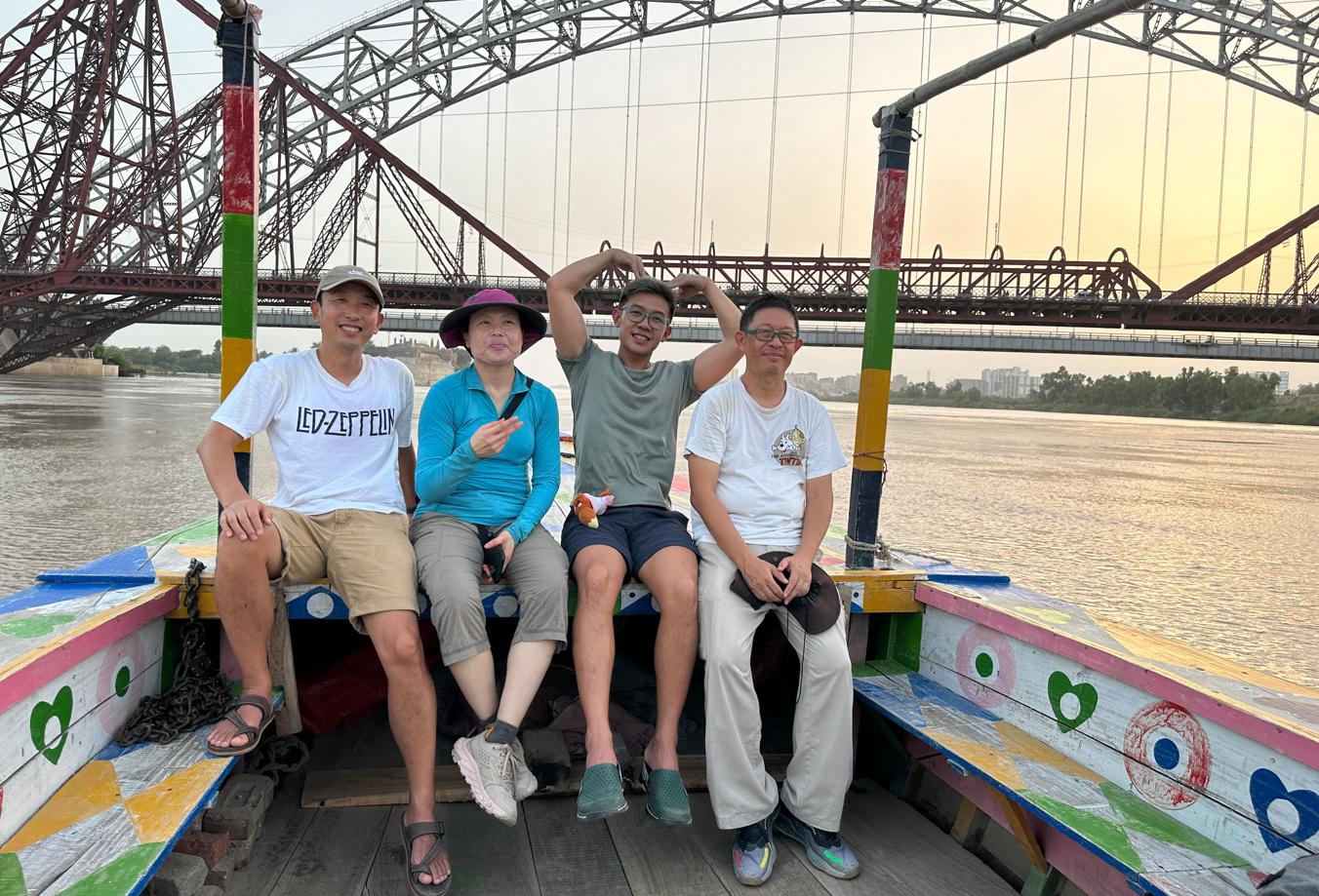
Our boatman on the Indus at Sukkur knew where to look. He cut the engine and let us drift downstream through a channel that was heavy with the smell of river mud and the sound of kingfishers, and within twenty minutes we had seen four or five — brief appearances, more intimated than witnessed, more important for being rare. Alan filmed them on his phone. Kelly sat in the prow with the particular stillness of someone who has decided to simply receive what is on offer rather than chase it.
The dolphin, declared the national mammal of Pakistan and the state aquatic animal of Punjab in India, carries in its endangered existence the story of what development has done to the river. The barrages that supply water to the most extensive irrigation system on earth — the Indus Basin Irrigation System, the largest such system in the world — have created the agricultural abundance of Punjab and Sindh, the wheat and cotton and sugar that feed and clothe two hundred million people. They have also fragmented the habitat of the bhulan into fragments too small for genetic diversity, too isolated for population recovery.
The Lloyd Barrage at Sukkur, built by the British in 1932, crosses the Indus with the confidence of an empire that believed engineering was the highest form of statecraft. Standing on its walkway, with the river enormous below and the heat pressing down from above, I felt the weight of the colonial bargain: infrastructure for sovereignty, development for dependence, a gift that was also a yoke.
Kot Diji and the Vanished Kingdom of Khairpur

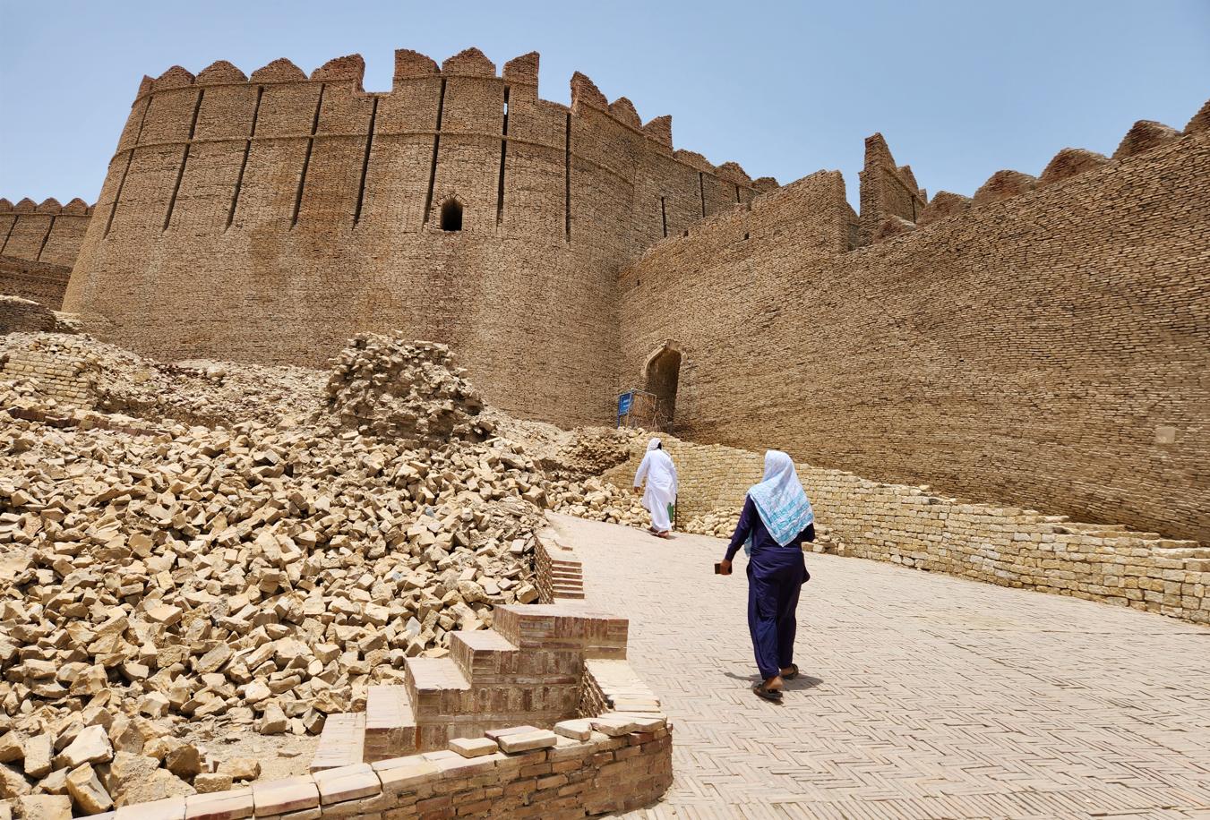
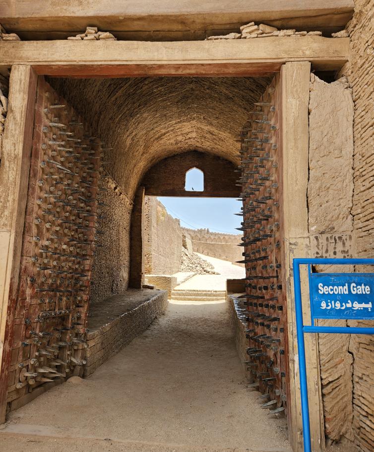
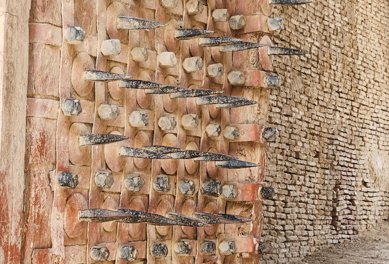
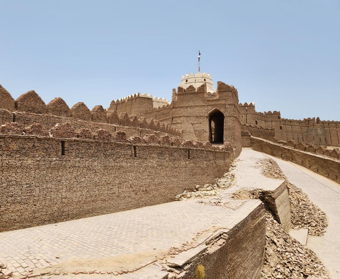
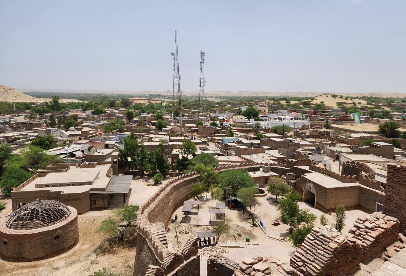
We reached Kot Diji Fort on a Tuesday, in a heat that had by then stopped feeling like weather and started to feel like a physical opponent: forty-eight degrees Celsius, the kind of temperature in which the air itself seems to press down rather than simply surround you. The fort — formally Fort Ahmadabad, though nobody in Sindh calls it that — sits on a hill a hundred and ten feet above the surrounding plain, its walls thirty feet high and its perimeter nearly two kilometres, enclosing a narrow spine of rock that the Talpur rulers of Khairpur fortified between 1785 and 1795 under Mir Sohrab Khan Talpur. Three watchtowers, each fifty feet tall, punctuate the walls; inside, a warren of passages leads past cannon emplacements, a water reservoir, a munitions store, a prison, a courtroom, and — almost as an afterthought — a small, unpretentious royal residence, as though the business of defending the state had always mattered rather more than the business of living graciously within it.
Beneath the fort, unexcavated and largely unmarked, lies a pre-Harappan settlement dating to somewhere between 2500 and 2800 BCE — one more instance, in a country full of them, of a fortress built in ignorance atop a civilisation it could not have known was there.
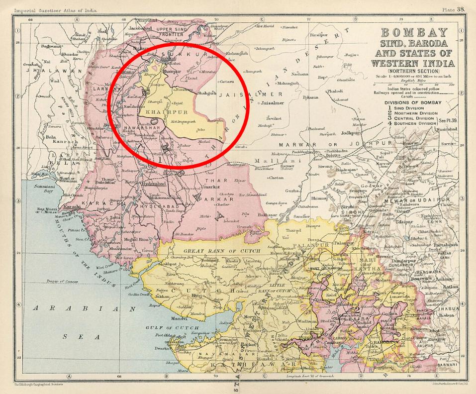
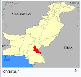
Kot Diji was built to guard Khairpur, one of the odder survivals of the Talpur twilight. When the Mughal Empire's grip on Sindh finally slipped in the late eighteenth century, the Talpurs — a Baloch tribal house — carved the province into several dominions, of which Khairpur, ruled by the Sohrabani branch, was one. In 1843 the British conquered and absorbed the other Talpur territories outright; Khairpur alone negotiated a treaty and kept a measure of autonomy, surviving as a princely state until its last Mir opted to join the new Pakistan in 1947, and it was folded fully into West Pakistan only in 1955. In its unlikely way, it had also been something of a pioneer: Khairpur was, by several accounts, the first state on the subcontinent to grant full adult suffrage, and its subjects enjoyed free education to matriculation level, free healthcare, and no customs, property, income, or wealth taxes — a small, largely forgotten welfare state, tucked into the edge of the Thar Desert, that outlasted most of its grander neighbours by doing considerably less harm to the people it governed.
The Chinese Highway and the New Silk Road
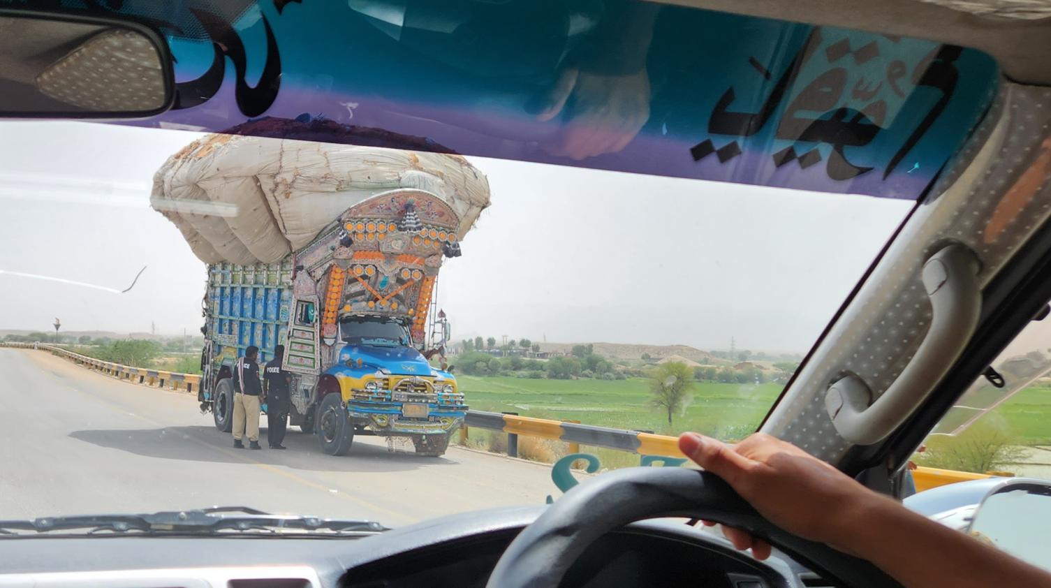
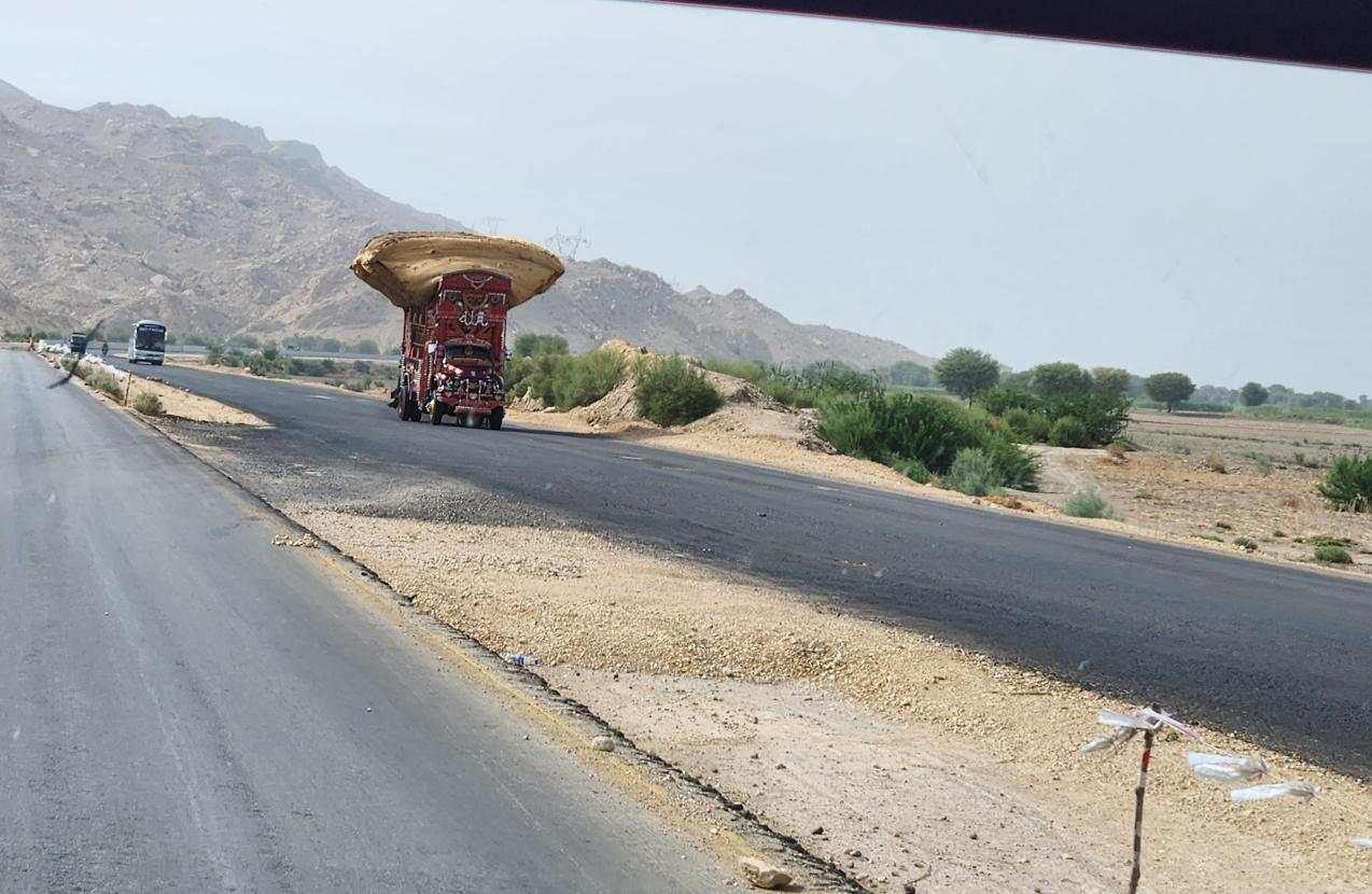

Between Khairpur and Uch, we drove for several hours on a road of a different quality from any we had used so far in Pakistan. It was, as Jamal put it without particular emphasis, 'the Chinese road.' Smooth, four-laned, tolled, and essentially pothole-free — a quality so remarkable in this part of the world that our driver, Wassim, kept unconsciously accelerating, as if the road itself were pushing him.
This was the China-Pakistan Economic Corridor: $60 billion worth of infrastructure projects connecting China's landlocked western province of Xinjiang to the deep-water port of Gwadar on the Arabian Sea. Roads, railways, pipelines, power plants. The geopolitical logic is not subtle. China's manufacturing heartland is on its Pacific coast; its energy supplies arrive by sea through the Strait of Malacca, a chokepoint controlled by American naval power. The CPEC is, among other things, a bypass: an overland route that would allow Chinese commerce to reach the Middle East and Africa without passing through waters where the US Navy is sovereign.
The human dimension is more local. 'Everywhere you go in Pakistan,' I noted on my social media that day, 'people say: China and Pakistan are one. China and Pakistan are best friends. I Pakistan, you China, we are family.' At a traffic checkpoint near Sukkur, a policeman who waved our car through a barrier told the guide: 'I see you are driving Chinese. Chinese are always close to my heart and all Pakistan.'
We did not correct him. By this point in the trip, we had given up correcting the inevitable misidentification of Singaporean Chinese as people from the People's Republic. The warmth was too great, and the historical roots of the Sino-Pakistani friendship — which predate the CPEC by six decades, going back to the 1963 Sino-Pakistani Agreement — too genuine to dismiss as geopolitical calculation alone. Even Karachi Airport has special counters, prominently signed, for Chinese citizens requiring assistance.
And yet the relationship is more complicated than the billboards suggest. The attacks on Chinese workers — on convoys in Balochistan, on hydroelectric project sites in Khyber Pakhtunkhwa — are regular and increasingly brazen. Local communities in Gwadar have protested against CPEC projects that have failed to deliver promised employment or have restricted traditional fishing grounds. Pakistan's trade deficit with China has widened dramatically: by 2023, China was exporting some $18 billion worth of goods to Pakistan while importing less than $3 billion in return. The structural imbalance has raised serious questions about whether Pakistan has traded one form of economic dependence — the IMF austerity arrangements that have been a recurring feature of Pakistani governance since the 1980s — for another.
'But what is the alternative?' Jamal said one evening, when I raised these questions over dinner. 'America gives us lectures. India wants us to disappear. Afghanistan is chaos. China builds roads. For Pakistan, who builds roads is the friend.'
It was not, as geopolitical philosophy goes, without a certain bleak logic.
Bahawalpur: A Kingdom Remembered in Stamps

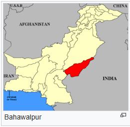
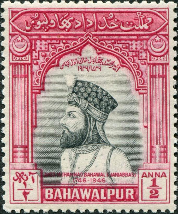
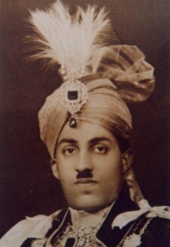
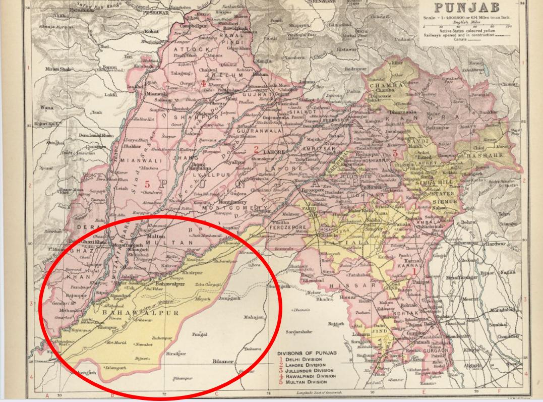
Bahawalpur announced itself first as a name on road signs and then as a district of extraordinary scale — 2.4 million people, by the 1998 census, spread across a former princely state that had once been ruled in its own right by the Abbasi dynasty for more than two hundred years. Nawab Bahawal Khan Abbasi I founded the state in 1748; his descendants governed it, with British acquiescence and eventually British protection, until 1954, and were rewarded for their loyalty with a seventeen-gun salute — the precise currency of prestige by which the Raj ranked its client princes, and a fair index of how seriously Bahawalpur was taken in Delhi and London alike.
I had heard of Bahawalpur long before I ever expected to pass through it, and for a reason that has nothing to do with dynastic politics: postage stamps. The state's last ruler, Nawab Sir Sadiq Muhammad Khan Abbasi V, was a committed philatelist as well as a monarch, and Bahawalpur issued its own stamps — over which he took a close personal interest — right up until the state's absorption into Pakistan. Under the instrument of accession, signed on 3 October 1947, and the merger agreement that followed in the 1950s, the Nawab retained a handful of personal privileges, among them the right to import several cars duty-free each year: a small, oddly touching relic of sovereignty for a man who had otherwise surrendered the greater part of it. The old state capital, Bahawalpur city, is now simply the headquarters of a district and a division — one more princely capital reduced, by the accountancy of nation-building, to an administrative address.
Uch Sharif: Shrines in the Desert Heat
We arrived at Uch in a heat made worse by humidity — the kind of Punjabi mugginess that Sindh, for all its ferocity, had somehow spared us — and in doing so crossed, almost without noticing the line on the map, into Punjab, the most populous of Pakistan's provinces and, for the rest of the journey, the dominant fact of the landscape.
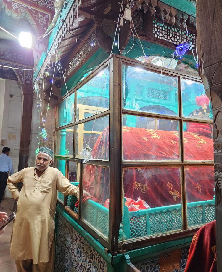
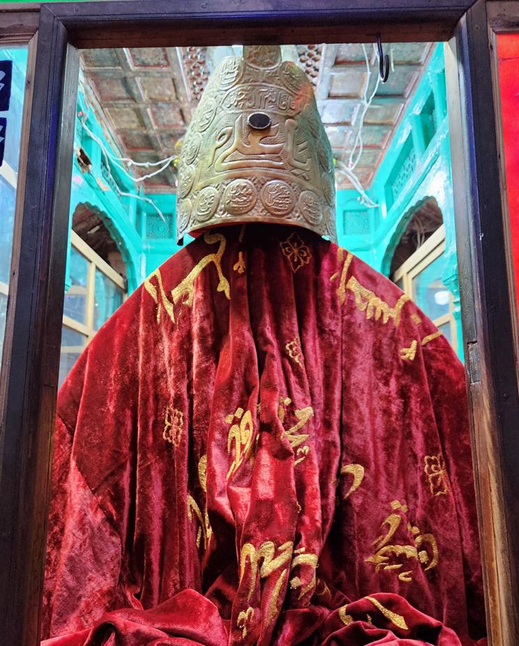
Uch — Uch Sharif, 'Noble Uch,' to give it the honorific its inhabitants insist on — may predate its surviving monuments: local tradition traces it to Alexandria on the Indus, one of Alexander the Great's foundation cities, though archaeology has never quite confirmed the claim. What is certain is that under the early Delhi Sultanate, Uch became a refuge for Muslim scholars and mystics fleeing persecution elsewhere — among them the Bukhari Sayyids, who arrived from Bukhara and never really left. Once a regional capital of some consequence, it is now a modest town that simply kept what it built: an intact historic core and a cluster of Sufi shrines, tiled in the style of southern Punjab, five of which sit on UNESCO's tentative World Heritage list.
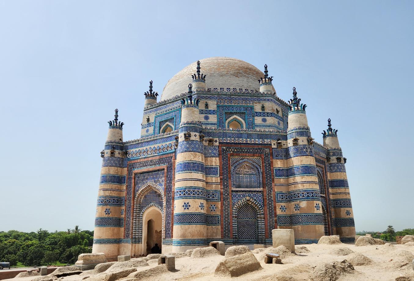
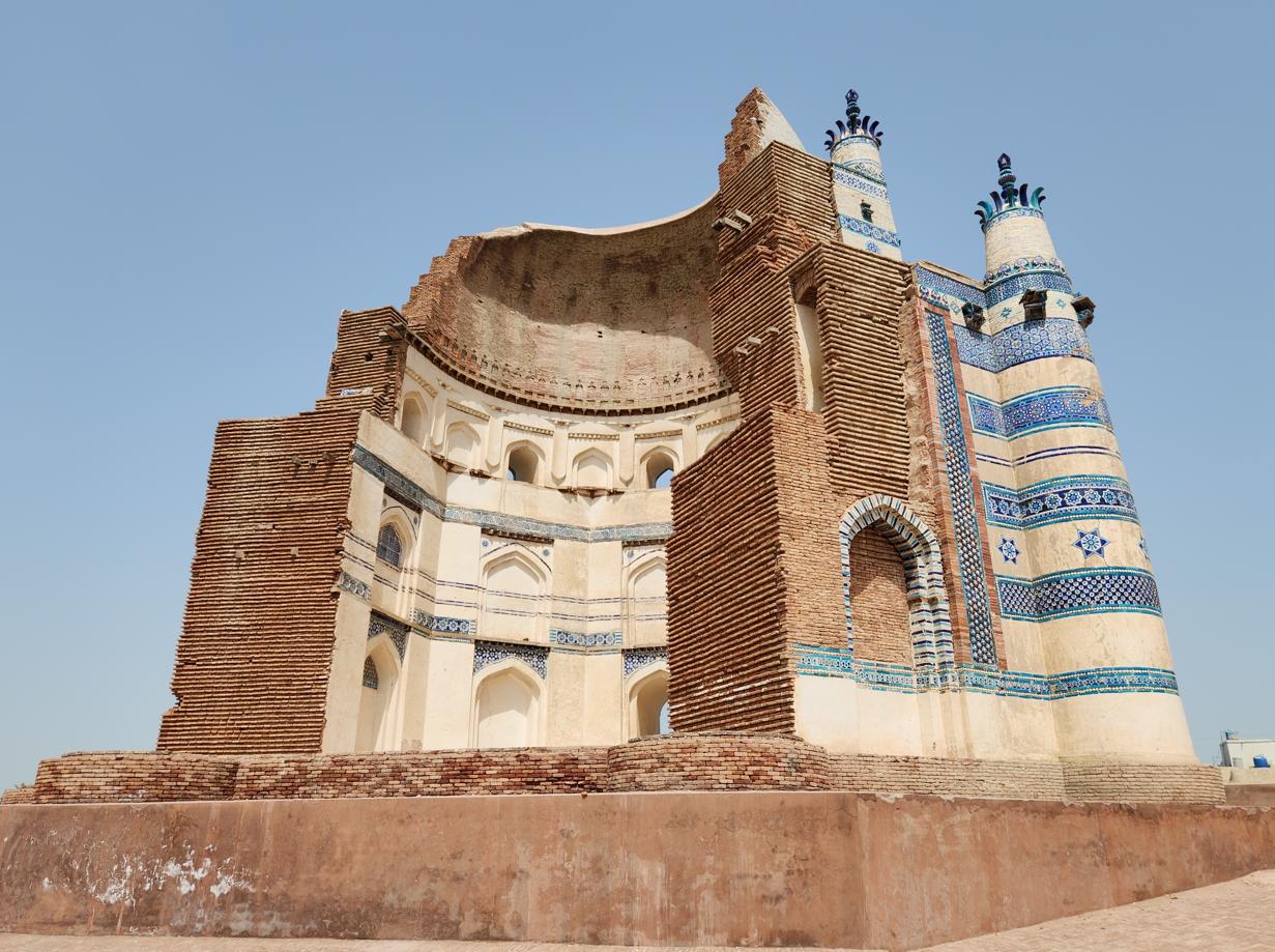
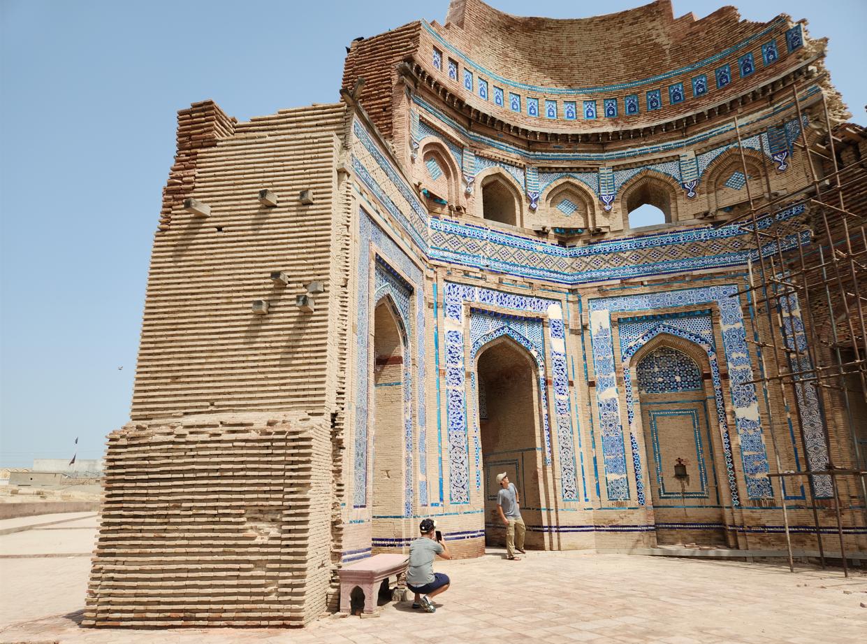
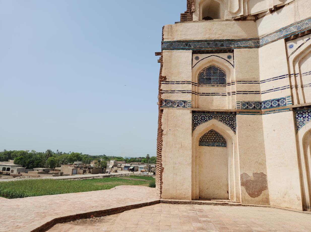
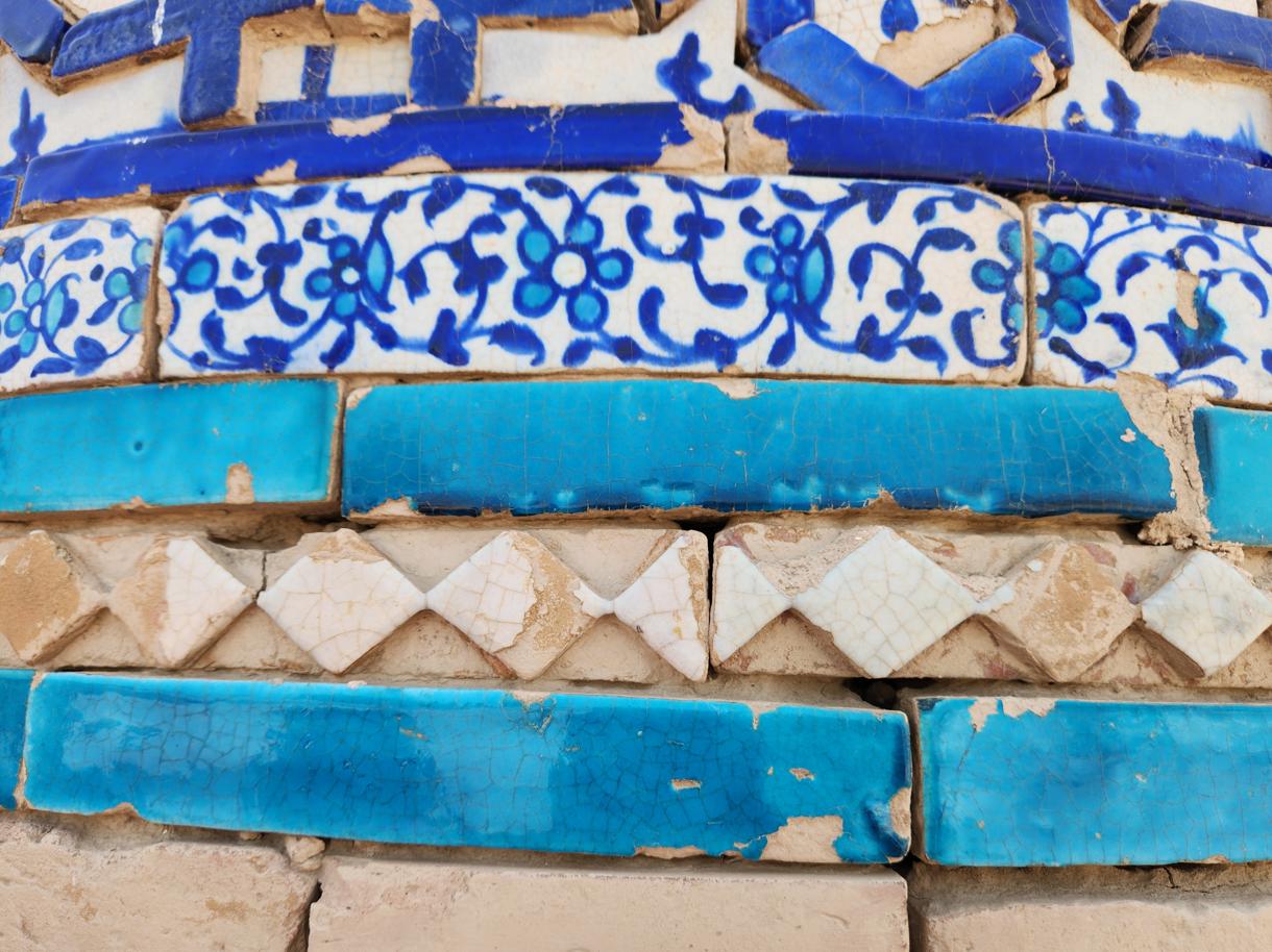
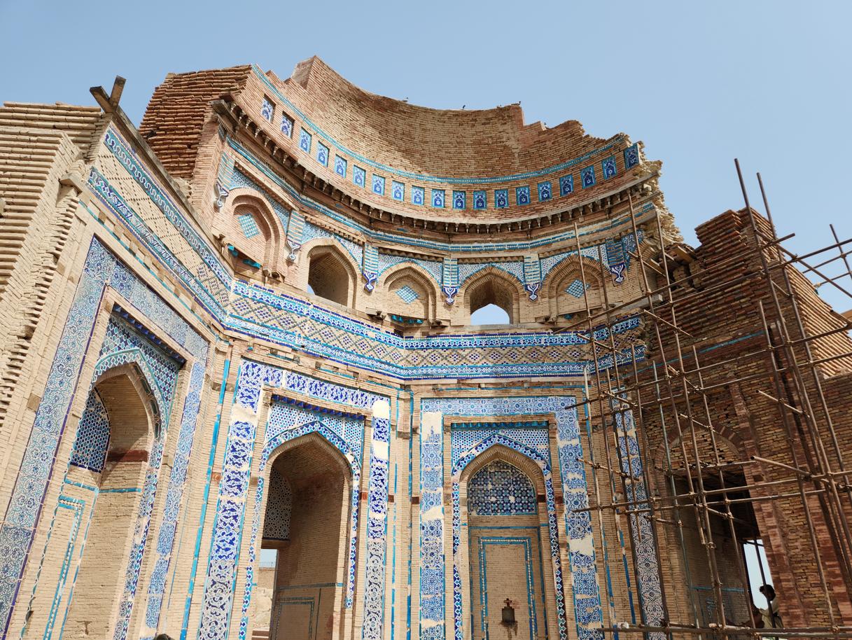
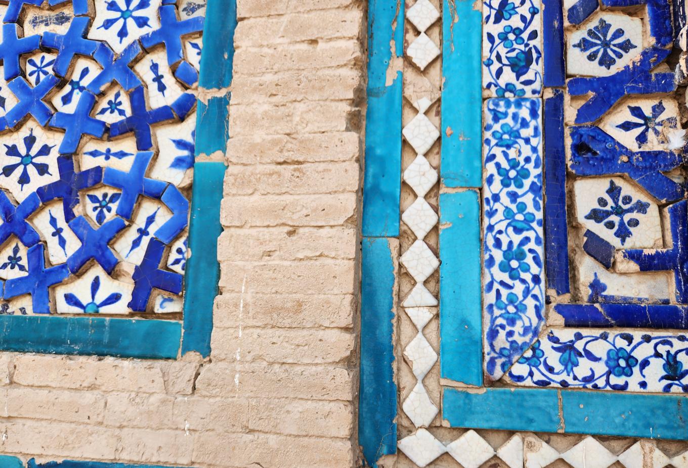
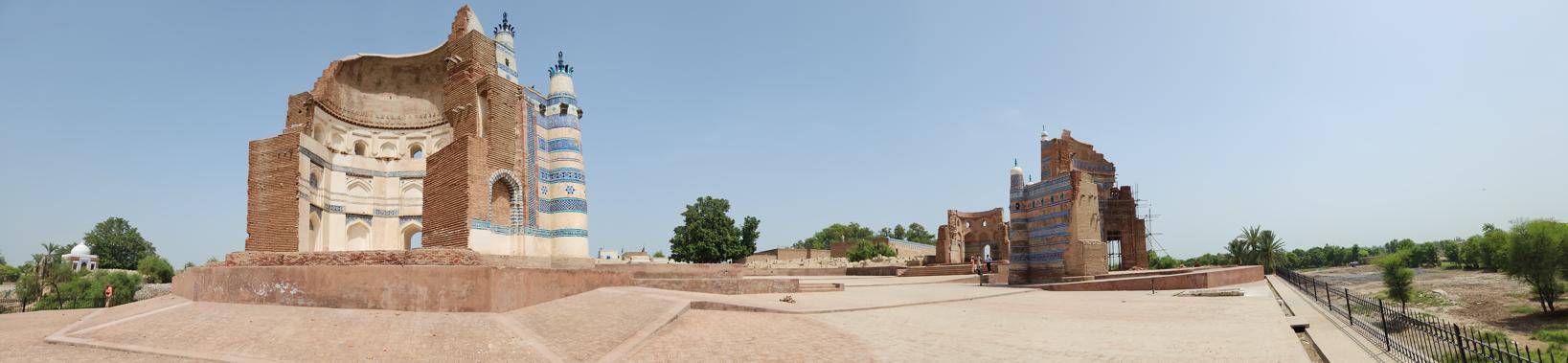
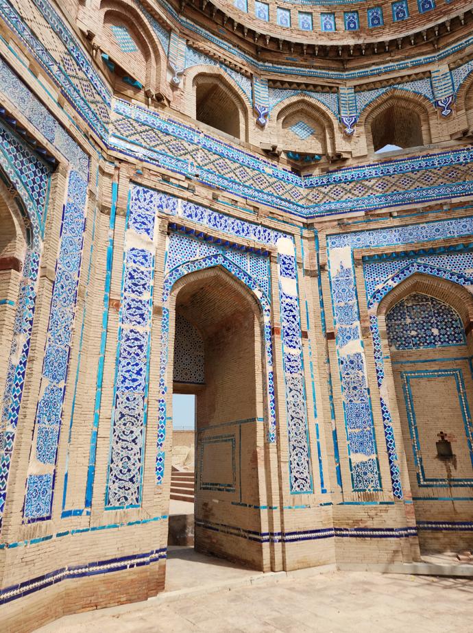
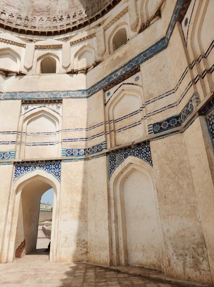
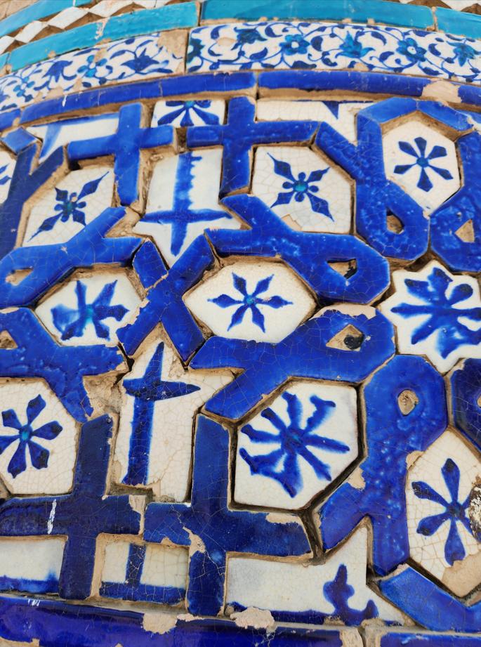
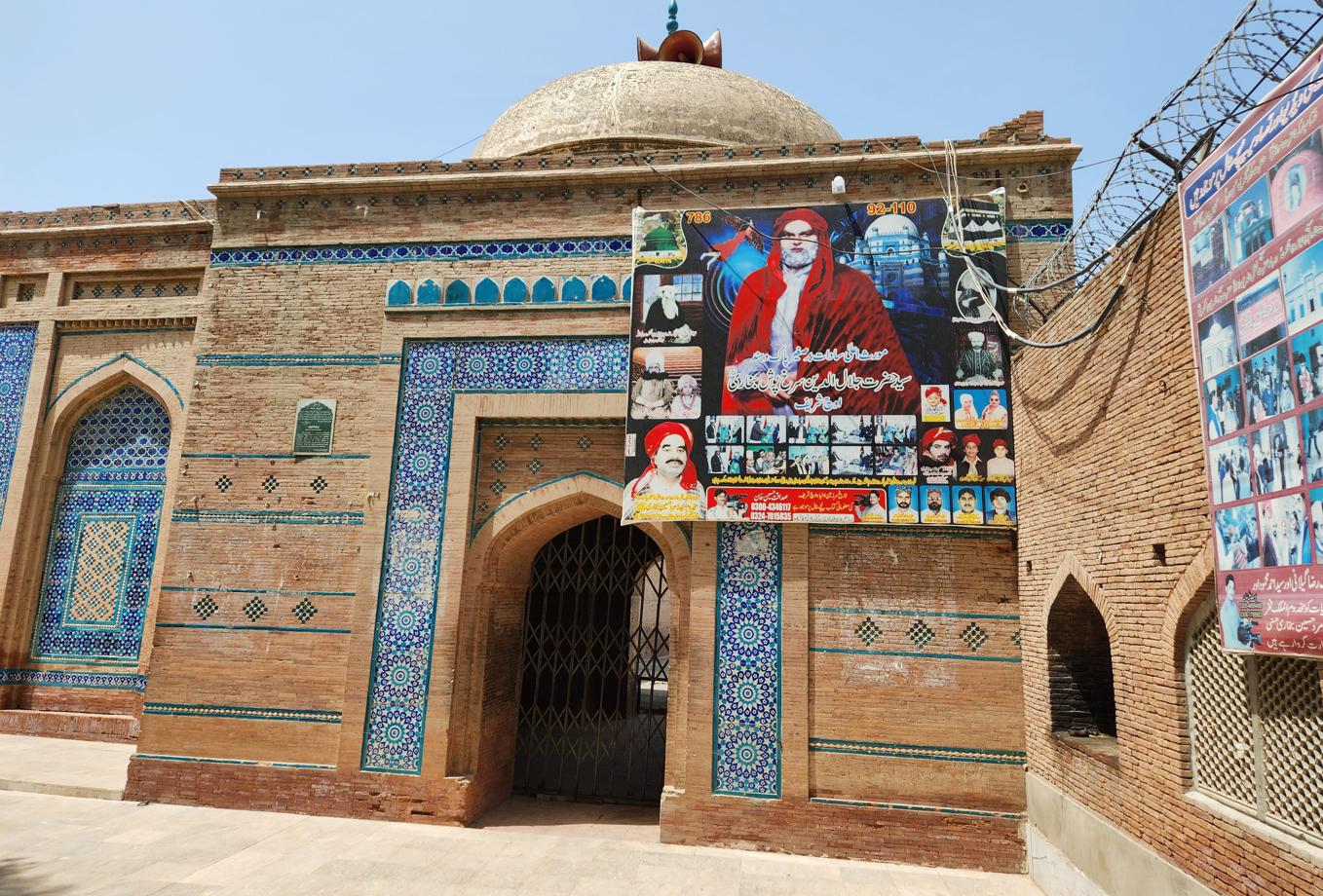
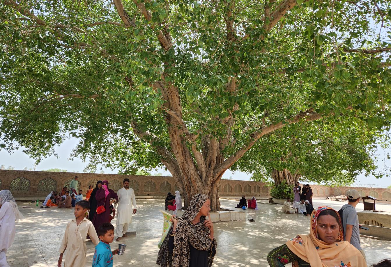
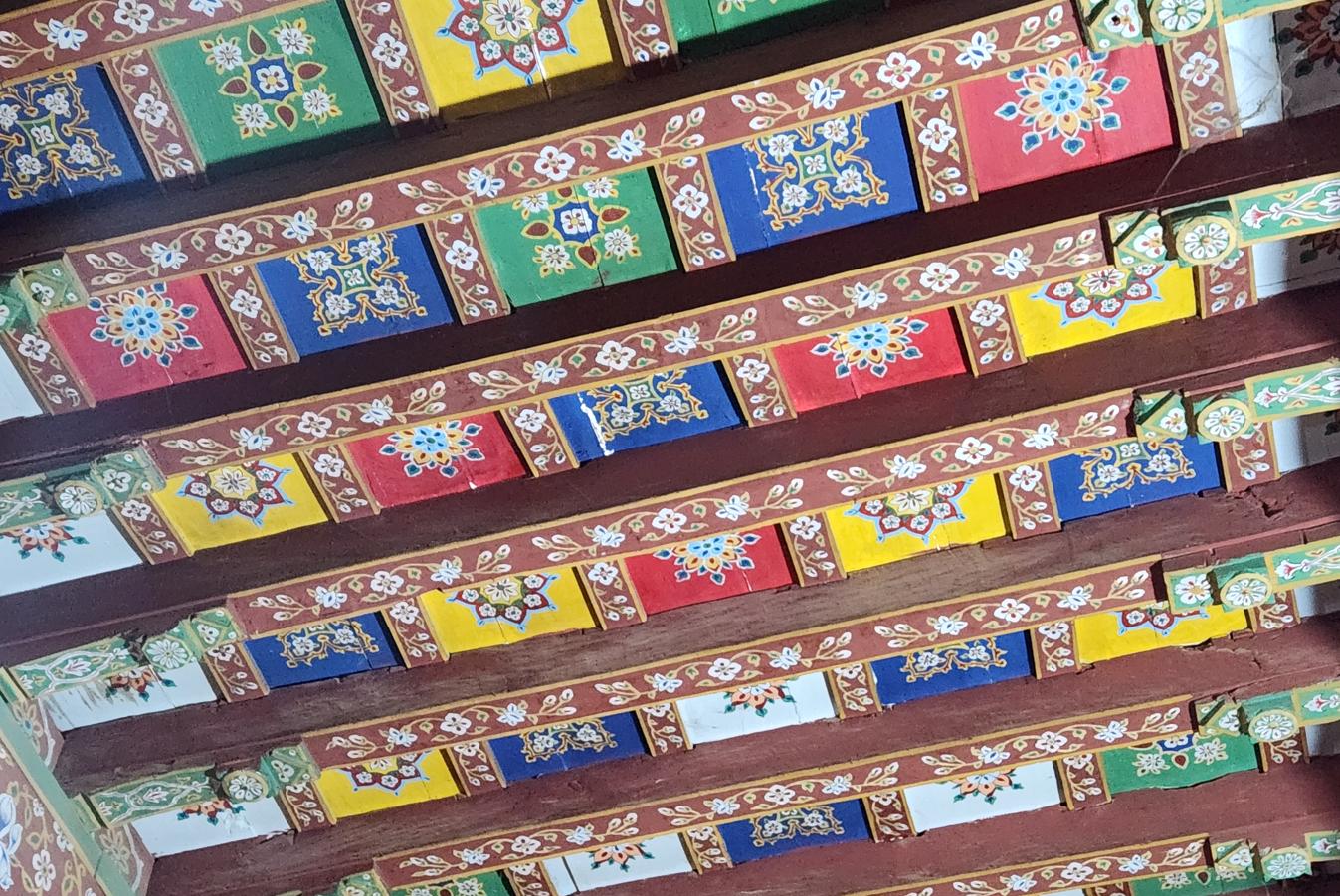
We visited first the shrine of Jalaluddin Surkh-Posh Bukhari, a missionary of Bukharan descent credited with converting several Sindhi tribes before settling at Uch in 1244. The tomb over his grave was rebuilt in 1670 by Bahawal Khan II, Nawab of Bahawalpur — one more thread tying this desert town to the postage-stamp kingdom we had just left behind. It stands on a promontory above the plain, brick-built, its carved wooden pillars and lacquered ceiling facing a small mosque of blue tilework across a courtyard pool. A few local families sat unhurried in the tree-shade, the punishing heat apparently no obstacle to an afternoon that had nowhere else to be. Once a year, in the month of Zilhaj, the Mela Uch Sharif turns this stillness into its opposite: a week-long folk festival drawing pilgrims from across southern Punjab to honour Bukhari's memory.
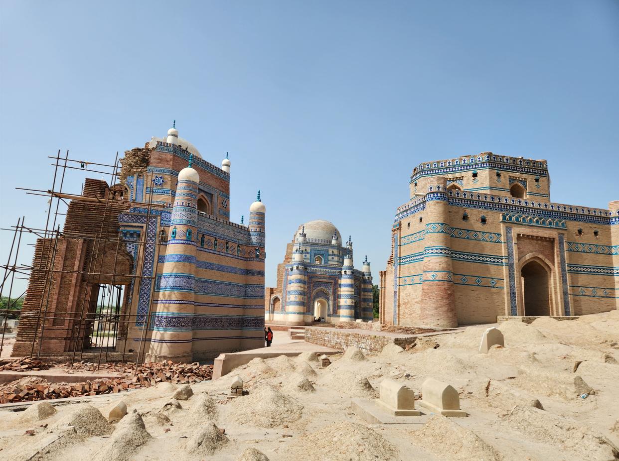
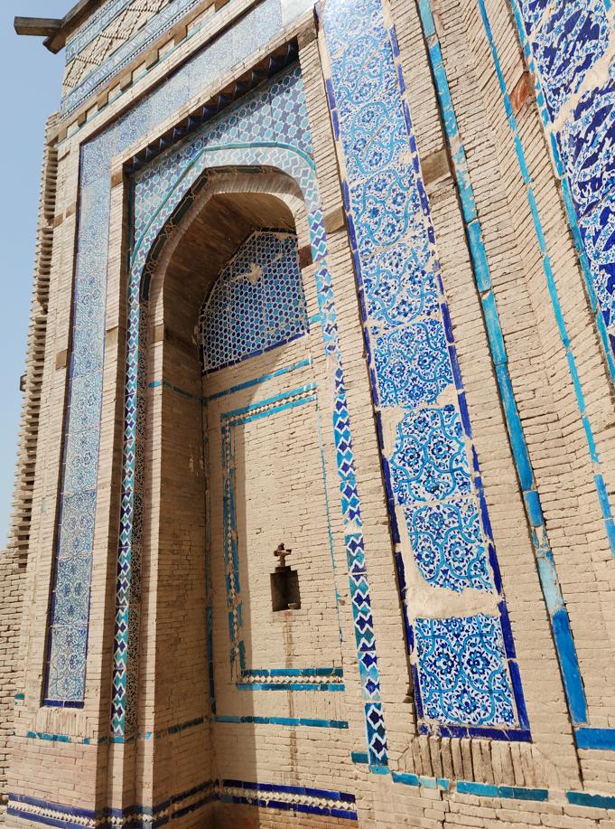
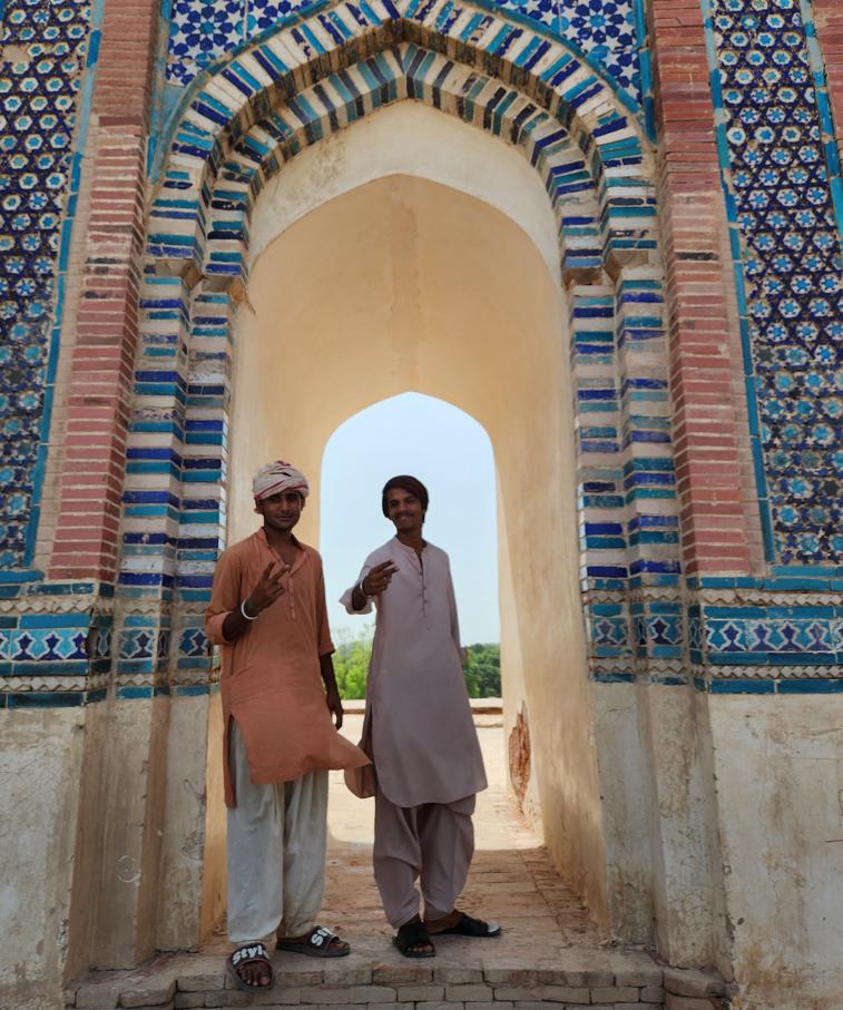
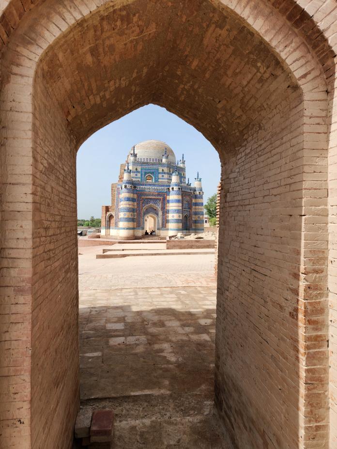
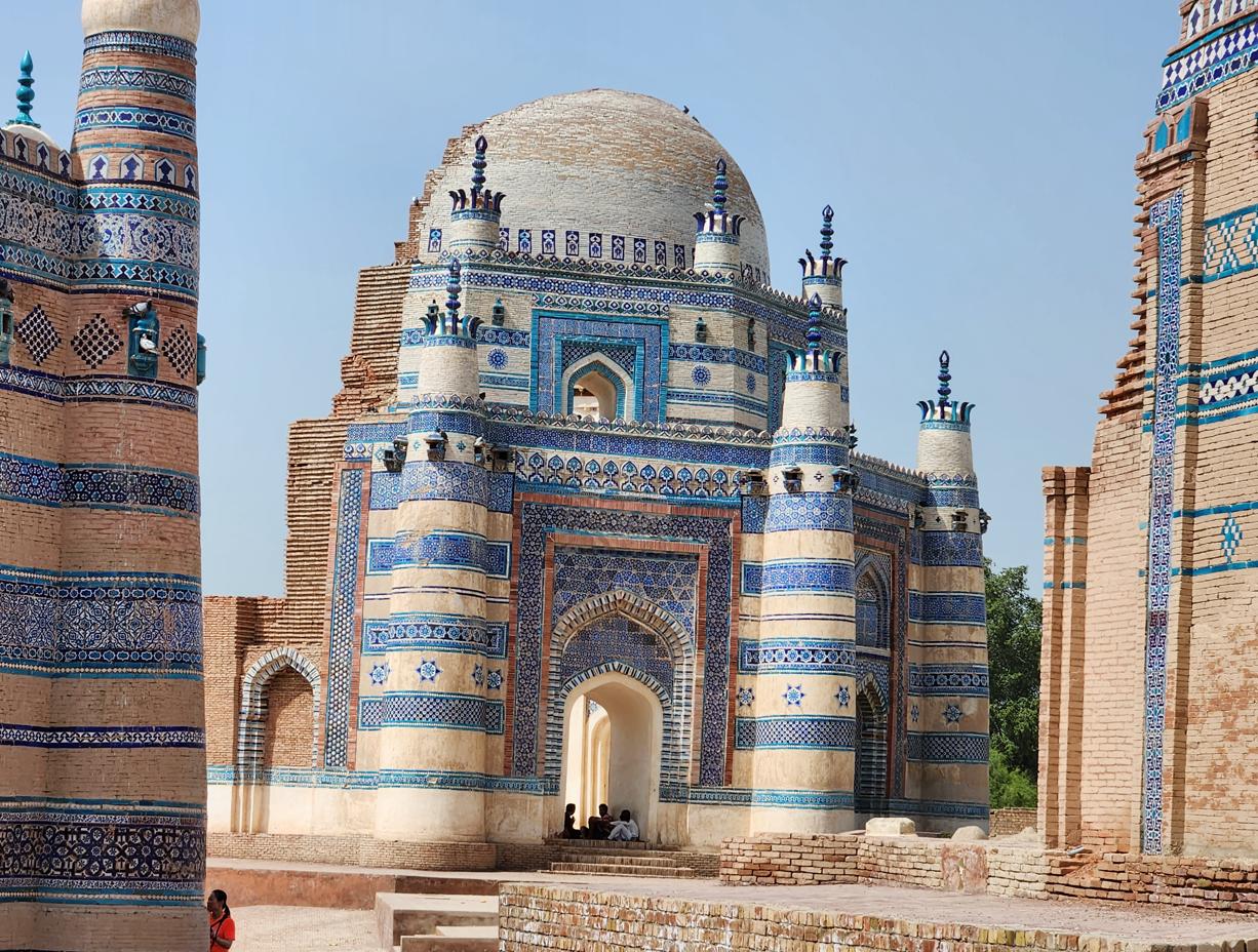
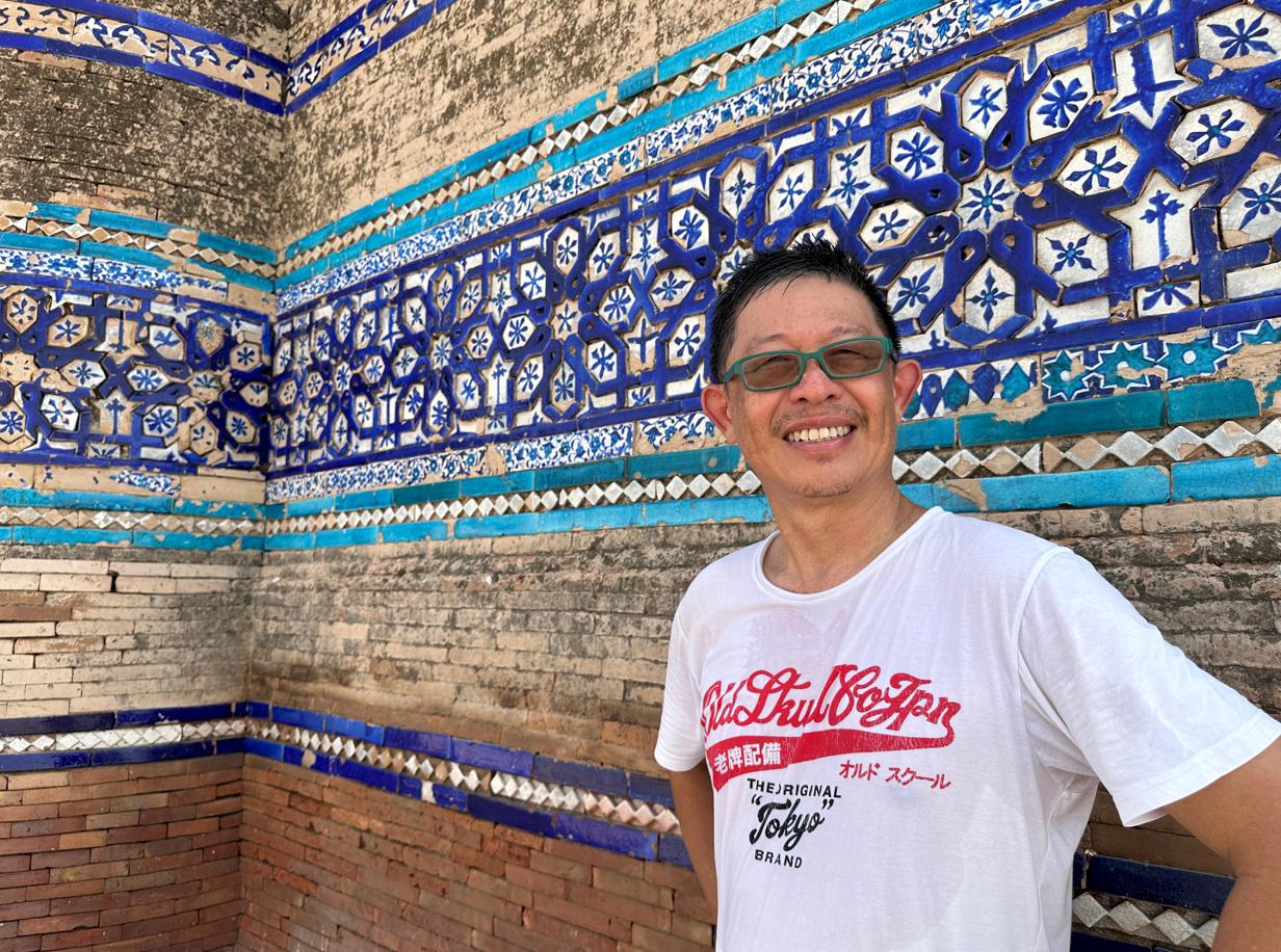
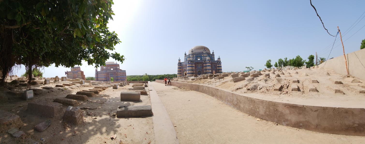
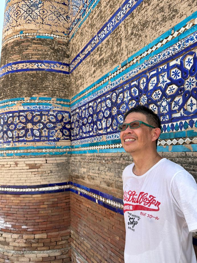
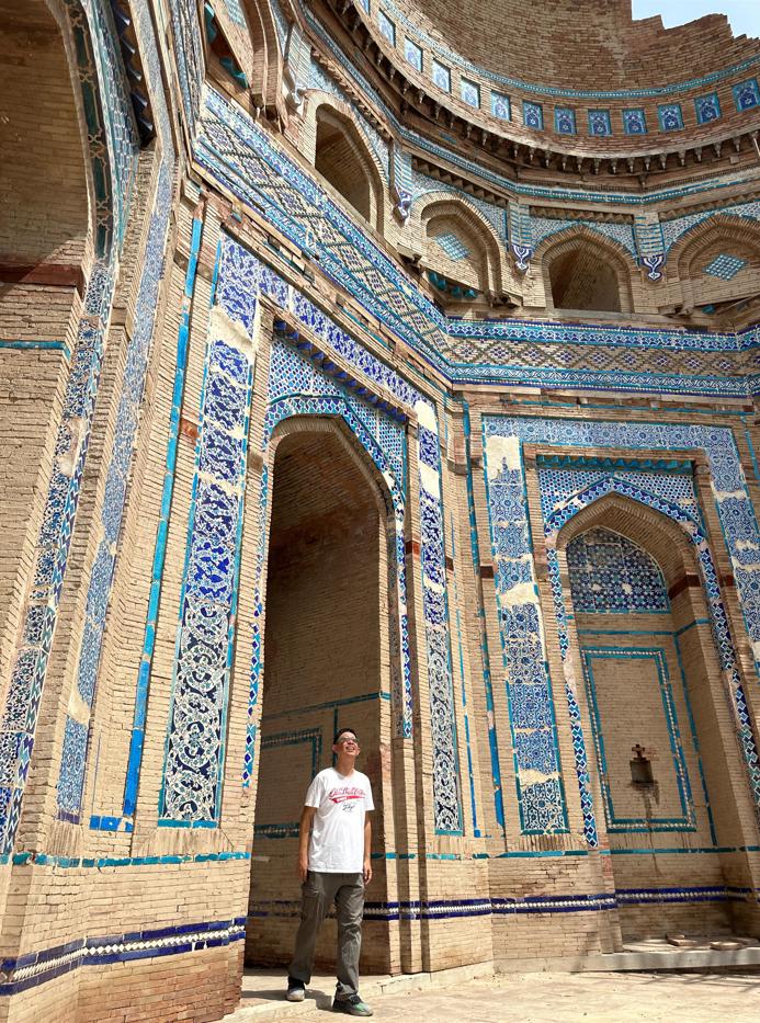
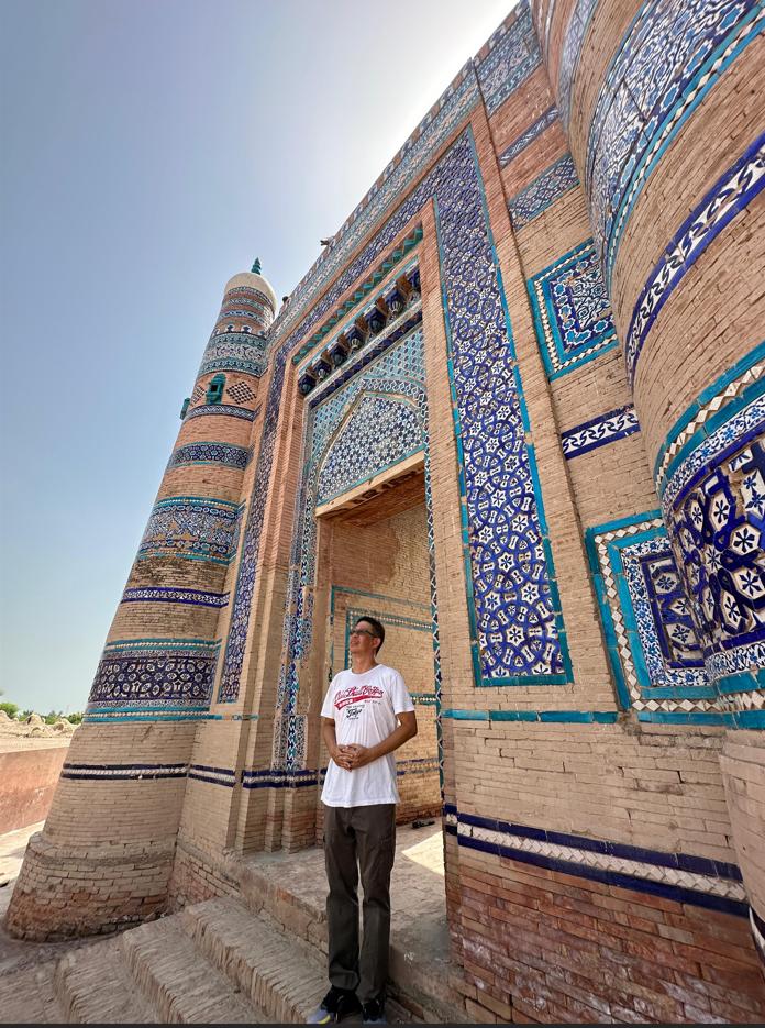
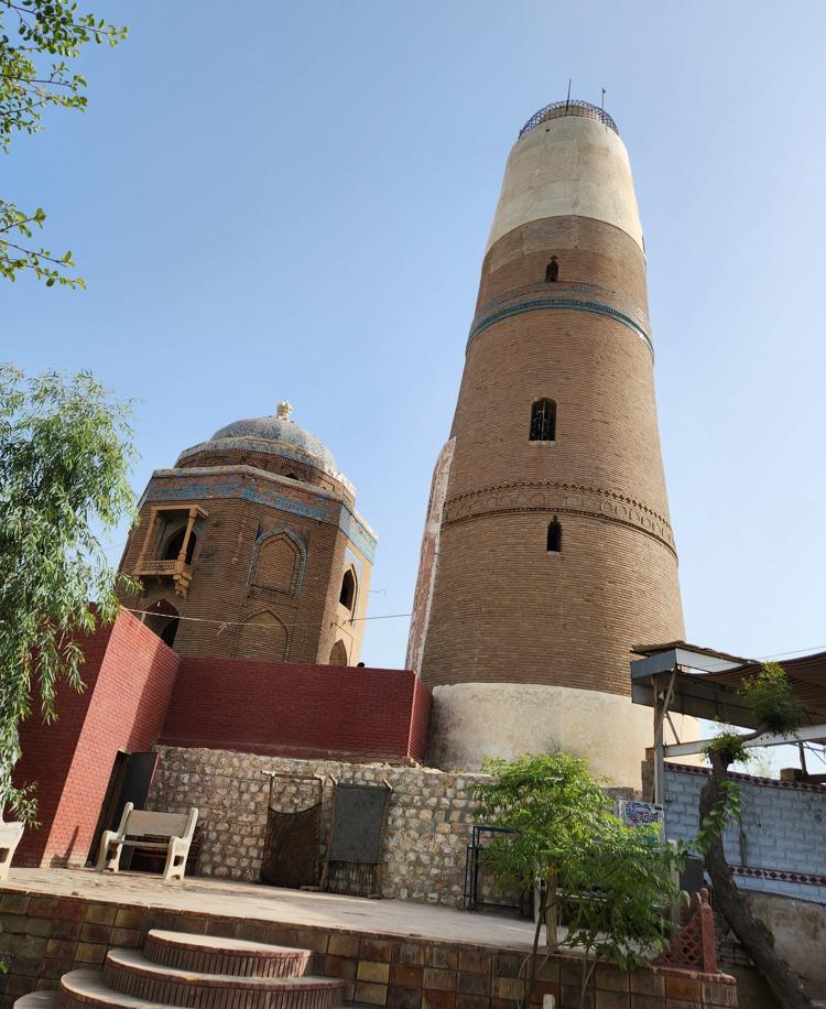
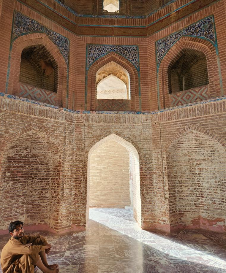
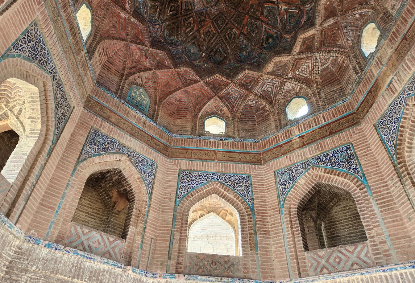
The Tomb of Bibi Jawindi, a short walk away, was almost empty — a few local youths dozing in whatever shade the ruins offered, the whole monument otherwise ours alone. Built in the fifteenth century for a great-granddaughter of the Sufi saint Jahaniyan Jahangasht, it rises on an octagonal base under bands of blue-and-white mosaic tile and carved timber — but only half the building survives; the rest was washed away by floods in 1817. The World Monuments Fund has placed it on its Watch list three times since 1998, and still, each monsoon, it crumbles a little further.
A Note on Process
The travelogue on this site are based on my own journeys, photographs, Facebook posts, and field notes. I work with Claude (Anthropic's AI assistant) as a drafting and editorial partner — giving it my raw material and working iteratively to shape it into finished prose. The AI helps me draft quickly, maintain a consistent voice across long narratives, and edit at the document level. The website's HTML and coding are built with the assistance of Gemini (Google). Audio versions of the essays are produced using NotebookLM (Google). Every observation, opinion, and conclusion in the written work is mine. The AI tools are the instruments; I am the author.