
Route Map

Reflections across the Melaka Strait, the Minangkabau Highlands, and the ancient sea empires of Sumatra.
By Tan Wee Cheng
There is a particular quality to the light at Changi's Terminal 1 in the last week of July: flat, air-conditioned, indifferent to the weather gathering somewhere over the Strait. I stood before the departure board with the small, familiar excitement of a man about to cross a border that has never, in any way that matters, really been a border at all. “Heading for Padang, West Sumatra, Indonesia,” I wrote that morning, half to myself. “Land of Nasi Padang!” It was a joke, but only half of one. Singapore has been eating the Minangkabau's cooking for longer than it has been a nation, and it will go on doing so long after the last of us has forgotten why the rice comes stacked twelve dishes deep.
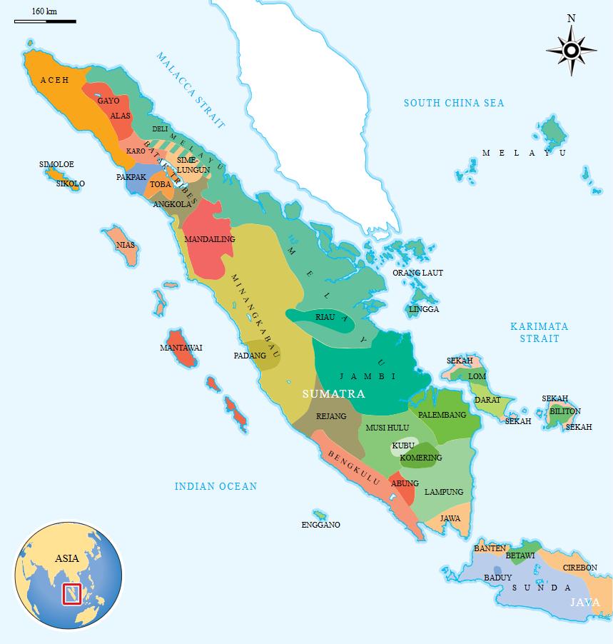
The Melaka Strait, as we would come to realise more than once on this trip, is not a border between Indonesia and Malaysia, still less between either of those countries and the city-state at their elbow. It is a corridor: a wet, brown, endlessly trafficked hallway connecting communities of the Melayu world who have been marrying, trading, quarrelling and praying together since long before anyone thought to draw a customs line down the middle of the water. I was flying, that afternoon, into the homeland from which so much of maritime Southeast Asia's kingship, cuisine, and quiet stubbornness of custom ultimately descends: the highlands of West Sumatra, the river-mouth sultanates of Riau, the Buddhist water-city of Jambi, and Palembang, where an empire once ruled the sea itself. Four provinces. One long, connected story, in the style of the very best travellers who came this way before me: Raffles with his theodolite and his theories, Marsden with his patient philology, Wallace with his beetles and his blue mountains, the Chinese pilgrim I-Tsing with his sutras, and, forgive me, in my own manner too, equal parts reverence and appetite.
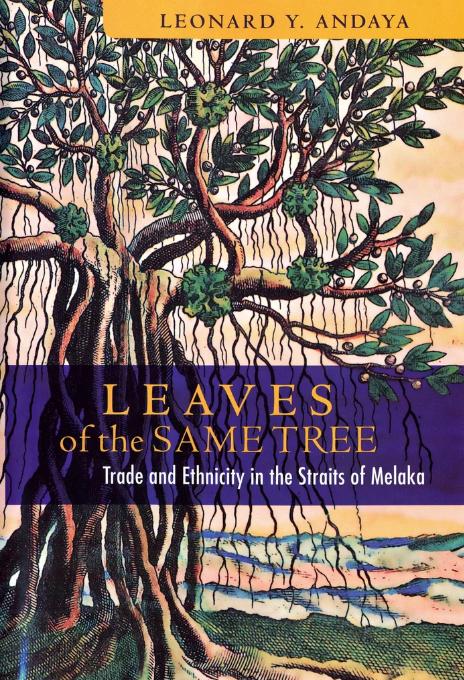
The historian Leonard Andaya, in Leaves of the Same Tree, his study of trade and ethnicity across these same waters, gives that intuition a name and a mechanism. Ethnic identity in the Straits, he argues, was never the fixed, blood-and-soil inheritance a modern passport encourages us to imagine; it was fluid and strategically porous, made and remade by international trade itself, as communities specialised, forest gathering here, maritime patrol there, rice cultivation somewhere else, long-distance shipping further on, and hardened those economic roles, over generations, into the cultural identities we now mistake for ancient and immovable.
Malayness, Melayu, functioned less as an ethnicity in the modern sense than as a shared regional currency: a trade language, a court protocol, a cultural benchmark that surrounding peoples could adopt, adapt or deliberately refuse as it suited them. His larger caution, that we should resist projecting today's national borders backward onto a region that for most of its recorded history operated as a single interconnected sea-land continuum, water joining rather than dividing, is one I found myself testing, without quite meaning to, at every stop on the itinerary that followed.
Continue the journey into the heart of Minangkabau food culture and coastal Sumatra.